
Určice, gemeente in Prostějov
Locatie: Prostějov District
Locatie: upravni občinski okoliš z razširjenimi pristojnostmi Prostějov
Hoogte boven de zeespiegel: 254 m
Grenst aan: Vranovice-Kelčice, Alojzov, Myslejovice, Výšovice, Seloutky, Dětkovice, Vincencov, Prostějov
E-mail: obecurcice@volny.cz
Website: http://urcice.cz
GPS-coördinaten: 49.43047,17.07294
Laatste update: 7 maart 2025 om 13:31
Cemetery in Prostějov
4.1 km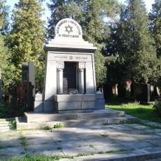
New Jewish cemetery in Prostějov
3.9 kmProstějov
555 m
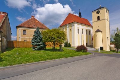
Church of Saint John the Baptist
69 m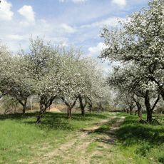
Dolní vinohrádky
2.8 km
Socha svatého Libora
1.9 km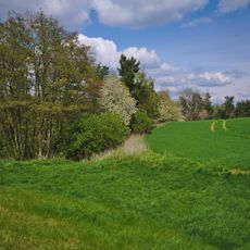
Blátka
3 km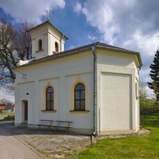
Kaple svatého Floriána
2.8 km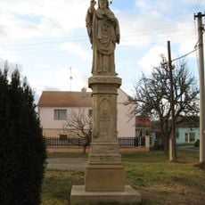
Statue of John of Nepomuk
241 m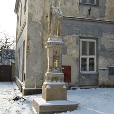
Socha svatého Libora
82 m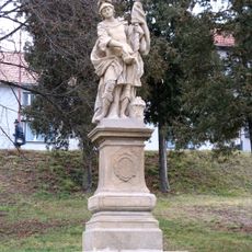
Socha svatého Floriána
162 m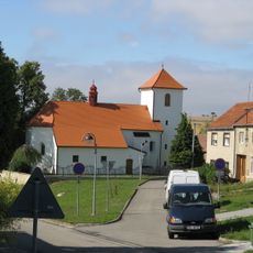
Church of Saint Cunigunde
3.5 km
Krucifix
1.1 km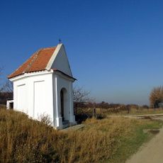
Chapel of Saint Anne near Dětkovice
2.6 km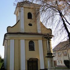
Chapel of Saint Anne
1.8 km
Krucifix
394 m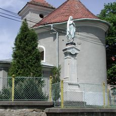
Chapel of the Assumption
1.4 km
Boží muka
3.7 km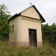
Chapel of Saint Sebastian
1.9 km
Church of Saint Lawrence
5.1 km
Krucifix
4.8 km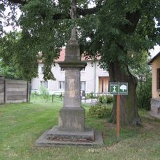
Krucifix
4.5 km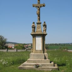
Krucifix
417 m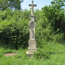
Krucifix
504 m
Krucifix
2.9 km
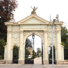
Fara
5.1 km
Zámek Výšovice
5.1 km
Church of Saints Cyril and Methodius
3.1 kmHeeft u deze plek bezocht? Tik op de sterren om een beoordeling te geven en uw ervaring of foto's te delen met de community! Probeer het nu! U kunt het op elk moment annuleren.
Ontdek verborgen schatten op elk avontuur!
Van karakteristieke kleine cafeetjes tot geheime uitzichtpunten – ontvlucht de drukte en vind plekken die echt bij jou passen. Onze app maakt het makkelijk: spraakzoekopdrachten, slimme filters, geoptimaliseerde routes en authentieke tips van reizigers wereldwijd. Download nu en beleef het avontuur op je smartphone!

Een nieuwe benadering van toeristische ontdekking❞
— Le Figaro
Alle plekken die de moeite waard zijn om te ontdekken❞
— France Info
Een uitstapje op maat in slechts een paar klikken❞
— 20 Minutes