
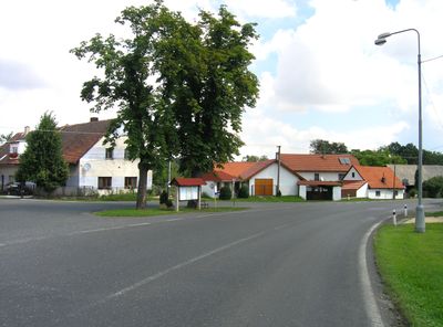
Štipoklasy, gemeente in Kutná Hora
Locatie: Kutná Hora District
Locatie: správní obvod obce s rozšířenou působností Kutná Hora
Hoogte boven de zeespiegel: 470 m
Grenst aan: Černíny, Zbraslavice, Opatovice I
E-mail: ou@stipoklasy.cz
Website: http://stipoklasy.cz
GPS-coördinaten: 49.82466,15.21334
Laatste update: 8 maart 2025 om 12:57
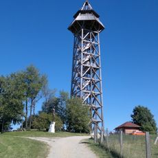
Bohdanka
4.8 km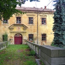
Červené Janovice Castle
3.1 km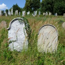
Jewish cemetery in Zbraslavice
2 km
Church of Saint Lawrence (Zbraslavice)
2.6 km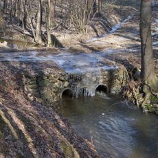
Bridge over the Zdeslavický potok nearby Újezd
5.5 km
Kaple Navštívení Panny Marie
3.9 km
Church of the Annunciation (Bohdaneč)
5.2 km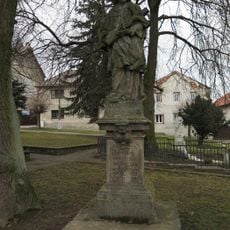
Statue of John of Nepomuk
2.5 km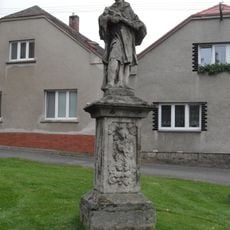
Socha svatého Jana Nepomuckého
3 km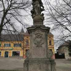
Socha Panny Marie Immaculaty
2.6 km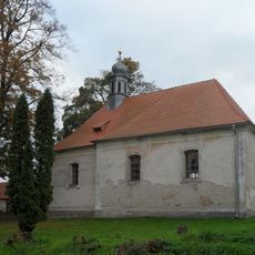
Church of Saint John the Baptist (Svatý Jan t. Krsovice)
5.8 km
Church of Saint Martin
3 km
Church of the Nativity of the Virgin Mary
4.5 km
Crucifix in Zdeslavice
1.4 km
Former School No. 149
2.6 km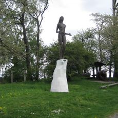
Socha Zvěstování Panny Marie u rozhledny Bohdanka
4.8 km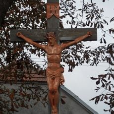
Krucifix
3.3 km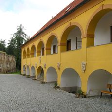
Zbraslavice Castle
2.6 km
Saint Anne chapel in Zdeslavice
4.7 km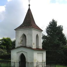
Zvonice
5 km
House No. 11
2.6 km
Trojboká výklenková kaplička
4.5 km
Kaple Všech svatých
3.8 km
Most přes Vrchlici v Bahýnku
4.5 km
Dům čp. 23
187 m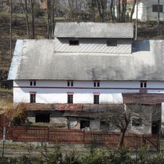
Křepelkův mlýn
5.2 km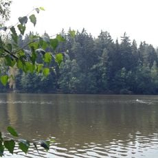
Fish pond Vidlák
2 km
Kaplička a kovový kříž
3.8 kmHeeft u deze plek bezocht? Tik op de sterren om een beoordeling te geven en uw ervaring of foto's te delen met de community! Probeer het nu! U kunt het op elk moment annuleren.
Ontdek verborgen schatten op elk avontuur!
Van karakteristieke kleine cafeetjes tot geheime uitzichtpunten – ontvlucht de drukte en vind plekken die echt bij jou passen. Onze app maakt het makkelijk: spraakzoekopdrachten, slimme filters, geoptimaliseerde routes en authentieke tips van reizigers wereldwijd. Download nu en beleef het avontuur op je smartphone!

Een nieuwe benadering van toeristische ontdekking❞
— Le Figaro
Alle plekken die de moeite waard zijn om te ontdekken❞
— France Info
Een uitstapje op maat in slechts een paar klikken❞
— 20 Minutes