
Podolí, okres Uherské Hradiště
Locatie: Uherské Hradiště District
Locatie: správní obvod obce s rozšířenou působností Uherské Hradiště
Hoogte boven de zeespiegel: 199 m
Grenst aan: Popovice, Veletiny, Vlčnov, Uherské Hradiště, Hluk
E-mail: info@obecpodoli.cz
Website: http://obecpodoli.cz
GPS-coördinaten: 49.04081,17.52946
Laatste update: 10 maart 2025 om 21:40


Veletiny-Stará Hora
3.1 km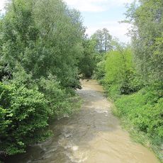
Olšava
1 km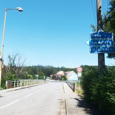
Most silnice III/05016 přes Olšavu v Podolí
390 m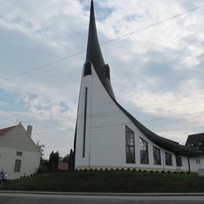
Chapel of Holy Spirit
452 m
Hrušeň obecná
2.2 km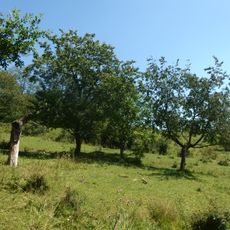
Stráně u Popovic
824 m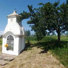
Výklenková kaplička - poklona
1.4 km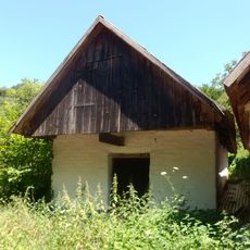
Vinná búda
3 km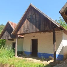
Vinná búda
3 km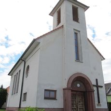
Church of Saint Agnes of Bohemia
2 km
Vinná búda
3.2 km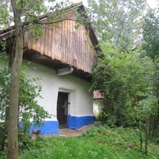
Vinná búda
3.3 km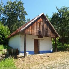
Vinná búda
3.5 km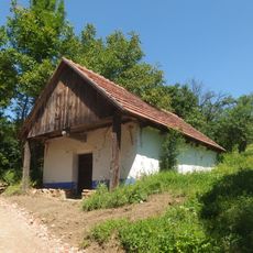
Vinná búda
3.3 km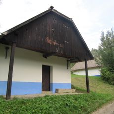
Vinná búda
3.3 km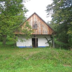
Vinná búda
3 km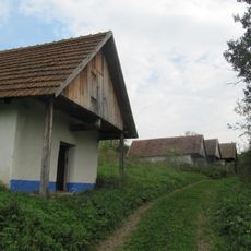
Vinná búda
3 km
Vinná búda - lisovna
3.3 km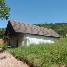
Vinná búda
3 km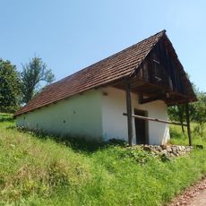
Vinná búda
3.1 km
Vinohradnická búda
3.3 km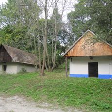
Vinná búda - lisovna
3.3 km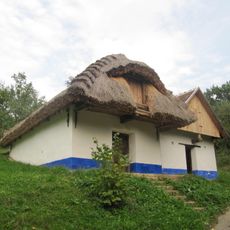
Vinná búda
3.4 km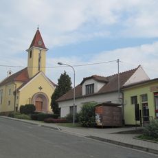
Church of the Virgin Mary of the Rosary
1.3 km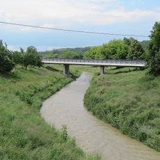
Western bridge of road I/50 over the Olšava in Veletiny
2.5 km
Vinná búda
3.4 km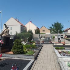
Cemetery in Popovice
1.2 km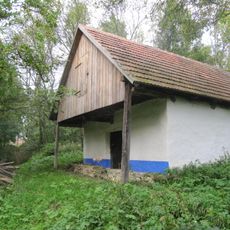
Vinná búda - lisovna
3.2 kmHeeft u deze plek bezocht? Tik op de sterren om een beoordeling te geven en uw ervaring of foto's te delen met de community! Probeer het nu! U kunt het op elk moment annuleren.
Ontdek verborgen schatten op elk avontuur!
Van karakteristieke kleine cafeetjes tot geheime uitzichtpunten – ontvlucht de drukte en vind plekken die echt bij jou passen. Onze app maakt het makkelijk: spraakzoekopdrachten, slimme filters, geoptimaliseerde routes en authentieke tips van reizigers wereldwijd. Download nu en beleef het avontuur op je smartphone!

Een nieuwe benadering van toeristische ontdekking❞
— Le Figaro
Alle plekken die de moeite waard zijn om te ontdekken❞
— France Info
Een uitstapje op maat in slechts een paar klikken❞
— 20 Minutes