
Kořenec, gemeente in Blansko
Locatie: obvod obce s rozšířenou působností Boskovice
Locatie: Blansko District
Hoogte boven de zeespiegel: 620 m
Grenst aan: Okrouhlá, Šebetov, Horní Štěpánov, Knínice u Boskovic, Benešov
E-mail: starosta@korenec.cz
Website: http://korenec.cz
GPS-coördinaten: 49.53034,16.75397
Laatste update: 15 maart 2025 om 21:00
Skalky
4.1 km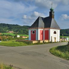
Church of the Annunciation of the Virgin Mary in Vážany
4.9 km
Meteoradar Skalky
4.1 km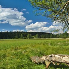
Pavlovské mokřady
3.1 km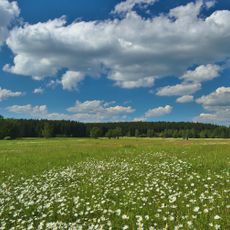
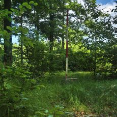
Řehořkovo Kořenecko
752 m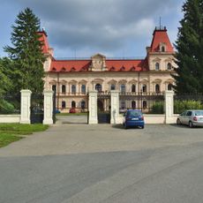
Castle Šebetov
3.4 km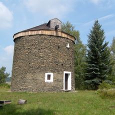
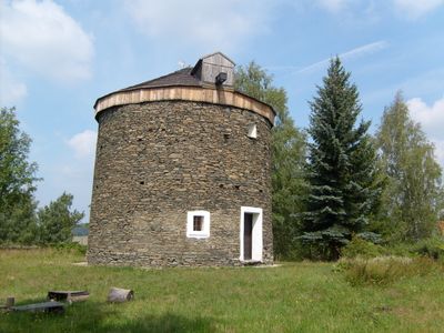
Windmill in Kořenec
218 m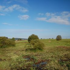
Uhliska
3.2 km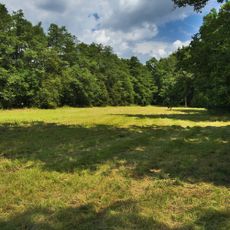
Horní Bělá
1.8 km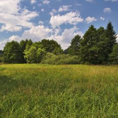
Pohorská louka
3.3 km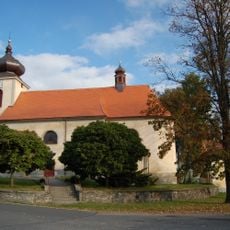
Church of Saint Lawrence
3.4 km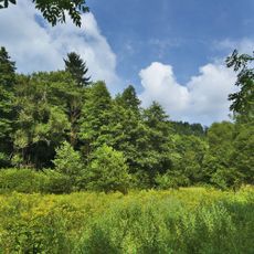
Pod Švancarkou
1.7 km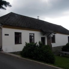
Museum Kořenec
67 m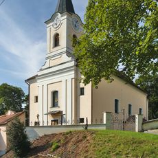
Saint Mark Church
4.3 km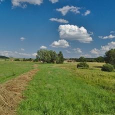
V chaloupkách
2.8 km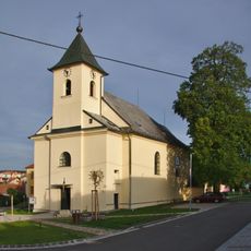
Church of the Exaltation of the Holy Cross
2.6 km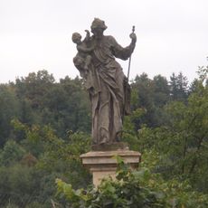
Socha svatého Josefa
3.8 km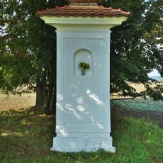
Boží muka
4.9 km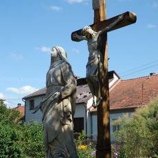
Socha Panny Marie Bolestné
3.4 km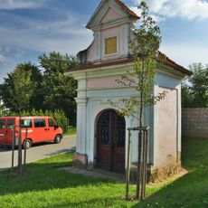
Chapel of Saint Florian
4.6 km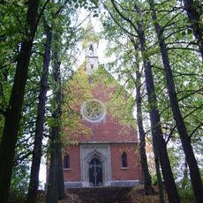
Chapel of Saint Anne
2.8 km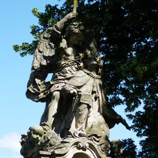
Sousoší svatého Jana Nepomuckého
3.5 km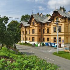
Měšťanský dům
3.3 km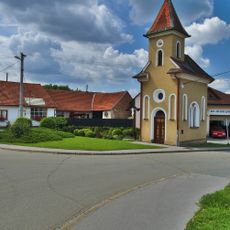
Chapel of the Assumption
4.9 km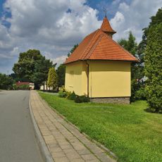
Chapel of Our Lady od Fatima
340 m
Chapel of Our Lady of Sorrows
3 km
Pohorská lipová alej
3.2 km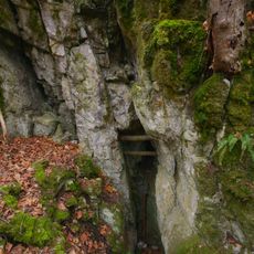
Vratíkovský kras
5 kmHeeft u deze plek bezocht? Tik op de sterren om een beoordeling te geven en uw ervaring of foto's te delen met de community! Probeer het nu! U kunt het op elk moment annuleren.
Ontdek verborgen schatten op elk avontuur!
Van karakteristieke kleine cafeetjes tot geheime uitzichtpunten – ontvlucht de drukte en vind plekken die echt bij jou passen. Onze app maakt het makkelijk: spraakzoekopdrachten, slimme filters, geoptimaliseerde routes en authentieke tips van reizigers wereldwijd. Download nu en beleef het avontuur op je smartphone!

Een nieuwe benadering van toeristische ontdekking❞
— Le Figaro
Alle plekken die de moeite waard zijn om te ontdekken❞
— France Info
Een uitstapje op maat in slechts een paar klikken❞
— 20 Minutes