
Všechovice, okres Přerov
Locatie: Přerov District
Locatie: Hranice (klein district)
Hoogte boven de zeespiegel: 346 m
Grenst aan: Horní Újezd, Malhotice, Provodovice, Rouské, Býškovice
E-mail: vsechovice@vsechovice.eu
Website: http://vsechovice.eu
GPS-coördinaten: 49.46276,17.75816
Laatste update: 21 april 2025 om 17:10

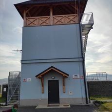
Rozhledna Na vodojemu Kunovice
4.5 km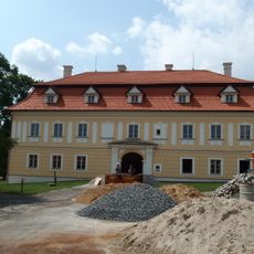
Všechovice Castle
218 m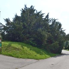
Všechovický tis
246 m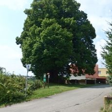
Lípa Jana Jiskry z Brandýsa
1.7 km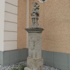
Socha svatého Jana Nepomuckého
3 km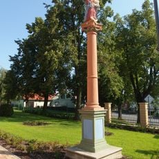
Socha Panny Marie
4.3 km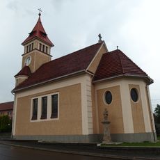
Church of the Immaculate Conception
3 km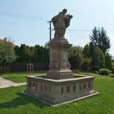
Socha svatého Jana Nepomuckého
1.9 km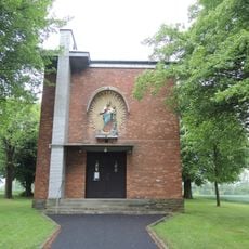
Chapel of Saints Cyril and Methodius in Komárno
3.7 km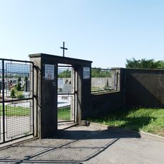
Cemetery in Všechovice
473 m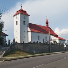
Church of Saint Wenceslaus
5 km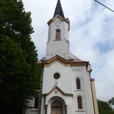
Church of Saints Cyril and Methodius
5.1 km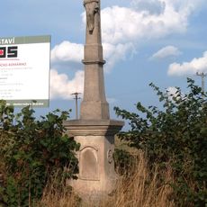
Kříž
5 km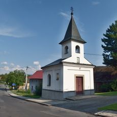
Chapel of Saint Anne
4.9 km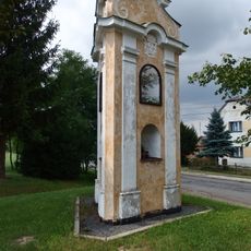
Boží muka
468 m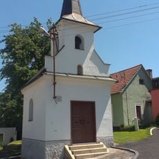
Chapel of Saint Mary
4 km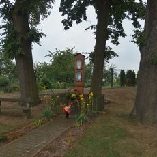
Boží muka
3.2 km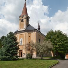
Church of Holy Trinity
7 m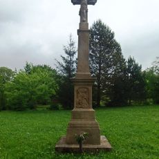
Zelený kříž
4.6 km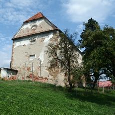
Sýpka
4.3 km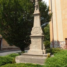
Krucifix
31 m
Lipová alej v Komárně
3.5 km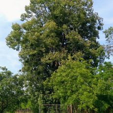
Lípa ve Vítonicích
5 km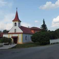
Chapel of Saint Anne
3.1 km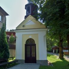
Kaple Panny Marie
3.4 km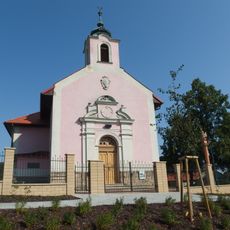
Chapel of the Sacred Heart
4.3 km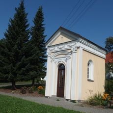
Chapel of Saint Anne
4.6 km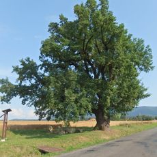
Dub Na Záhonkách
4.9 kmHeeft u deze plek bezocht? Tik op de sterren om een beoordeling te geven en uw ervaring of foto's te delen met de community! Probeer het nu! U kunt het op elk moment annuleren.
Ontdek verborgen schatten op elk avontuur!
Van karakteristieke kleine cafeetjes tot geheime uitzichtpunten – ontvlucht de drukte en vind plekken die echt bij jou passen. Onze app maakt het makkelijk: spraakzoekopdrachten, slimme filters, geoptimaliseerde routes en authentieke tips van reizigers wereldwijd. Download nu en beleef het avontuur op je smartphone!

Een nieuwe benadering van toeristische ontdekking❞
— Le Figaro
Alle plekken die de moeite waard zijn om te ontdekken❞
— France Info
Een uitstapje op maat in slechts een paar klikken❞
— 20 Minutes