
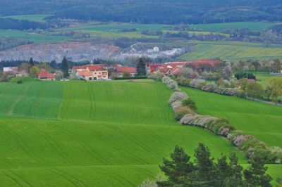
Obora, okres Blansko
Locatie: obvod obce s rozšířenou působností Boskovice
Locatie: Blansko District
Hoogte boven de zeespiegel: 413 m
Grenst aan: Voděrady, Doubravice nad Svitavou, Bořitov, Lhota Rapotina, Krhov, Jabloňany
E-mail: obec.obora@mybox.cz
Website: http://obecobora.cz
GPS-coördinaten: 49.45224,16.60565
Laatste update: 15 maart 2025 om 16:04
Malý Chlum
1.4 km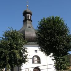
Church of Saint Lawrence in Lhota Rapotina
2.2 km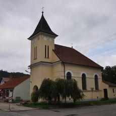
Church of the Visitation of Our Lady
3.2 km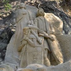
Skalní reliefy mistra Jana Husa, Jana Žižky a Prokopa Holého
1.7 km
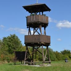
Lebeďák
3.2 km
Zámek Lhota Rapotina
3.7 km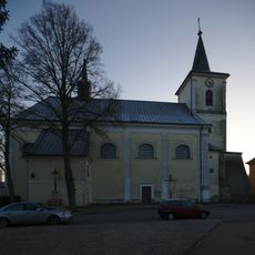
Church of Saint John the Baptist
2.6 km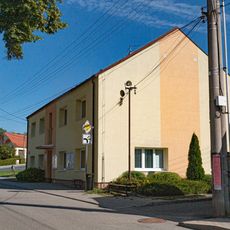
Obecní úřad Bořitov
3.1 km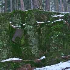
Hlavy bojovníků
1.6 km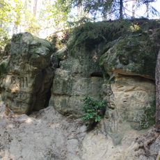
Hlava lva
1.4 km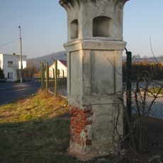
Boží muka
2 km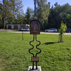
Statue in Huť Sv. Antonie
798 m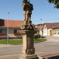
Socha svatého Jana Nepomuckého
2.1 km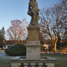
Socha svatého Šebestiána
2.5 km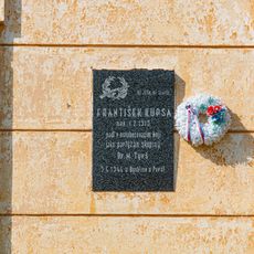
Pamětní deska
3.2 km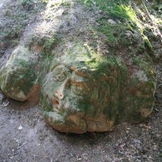
Hlava vojáka
1.6 km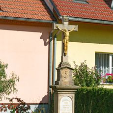
Kříž
3.1 km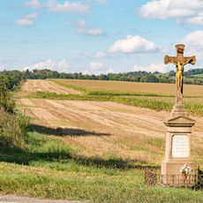
Kříž
3.2 km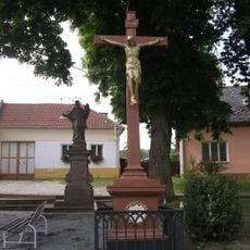
Socha svatého Jana Nepomuckého
1.4 km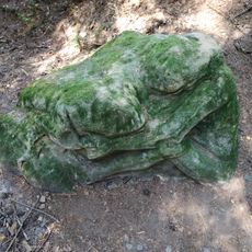
Spící dívka
1.6 km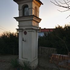
Boží muka u Jarní ulice v Doubravici nad Svitavou
2.8 km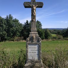
Wayside cross between Bořitov and Huť Sv. Antonie
1.3 km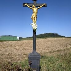
Wayside cross in Bořitov near airport
2.5 km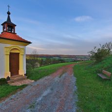
Chapel of the Nativity of the Virgin Mary
286 m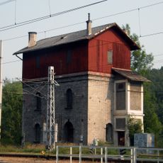
Nádražní vodárna
3 km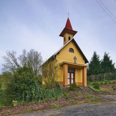
Chapel of the Sacred Heart
2 km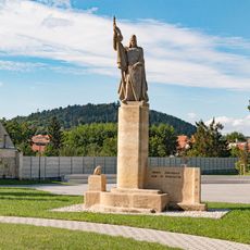
Socha
3.2 km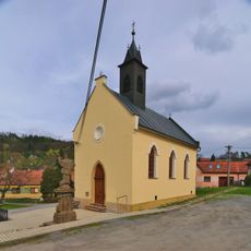
Chapel of Saints Cyril and Methodius
1.4 kmBeoordelingen
Heeft u deze plek bezocht? Tik op de sterren om een beoordeling te geven en uw ervaring of foto's te delen met de community! Probeer het nu! U kunt het op elk moment annuleren.
Ontdek verborgen schatten op elk avontuur!
Van karakteristieke kleine cafeetjes tot geheime uitzichtpunten – ontvlucht de drukte en vind plekken die echt bij jou passen. Onze app maakt het makkelijk: spraakzoekopdrachten, slimme filters, geoptimaliseerde routes en authentieke tips van reizigers wereldwijd. Download nu en beleef het avontuur op je smartphone!

Een nieuwe benadering van toeristische ontdekking❞
— Le Figaro
Alle plekken die de moeite waard zijn om te ontdekken❞
— France Info
Een uitstapje op maat in slechts een paar klikken❞
— 20 Minutes