
Grymov, gemeente in Přerov
Locatie: Přerov District
Locatie: správní obvod obce s rozšířenou působností Přerov
Hoogte boven de zeespiegel: 216 m
Grenst aan: Radslavice, Přerov, Prosenice
E-mail: grymov@seznam.cz
Website: http://grymov.cz
GPS-coördinaten: 49.48101,17.49803
Laatste update: 15 maart 2025 om 09:46
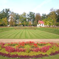
Park Michalov
3.7 km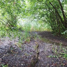
Malé laguny
3.1 km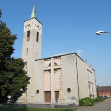
Church of Saint Joseph
1.4 km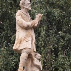
Socha svatého Isidora
3.3 km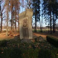
Husův pomník
3.6 km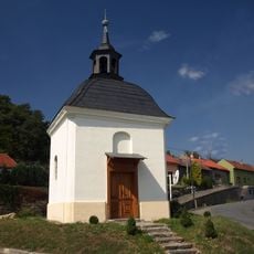
Chapel of Saint Urban
3.3 km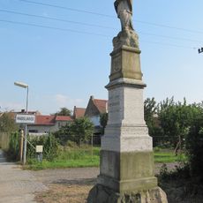
Statue of John of Nepomuk
932 m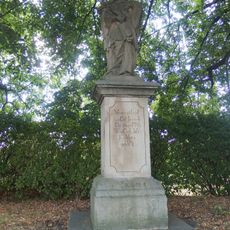
Socha svatého Jana Nepomuckého
3.2 km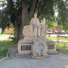
Statue of Tomáš Garrigue Masaryk, Radslavice
1.5 km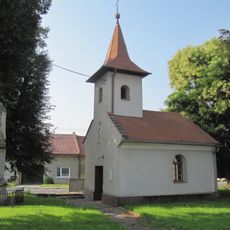
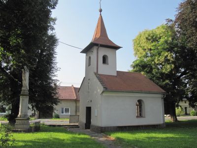
Chapel of Saint John the Baptist
44 m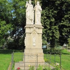
Statue of Saints Cyril and Methodius, Radslavice
1.7 km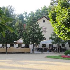
Restaurace Michalov
3.8 km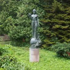
Socha Elektry
3.6 km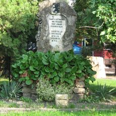
Red Army monument in Radslavice (Přerov)
1.7 km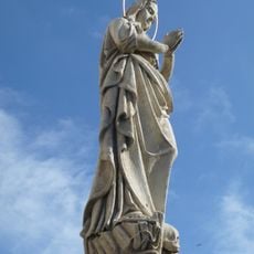
Maria Magdaléno kající in Radslavice
1.4 km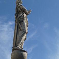
Maria bez poškvrny počatá in Radslavice
1.4 km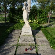
Memorial to Red Army men
765 m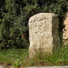
Hraniční kámen
29 m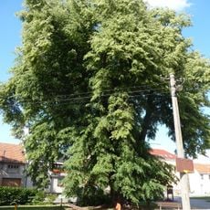
Tilia in Radslavice
1.5 km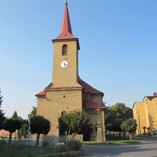
Church of Saint John the Baptist
1.7 km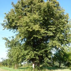
Sušice tilia
2.1 km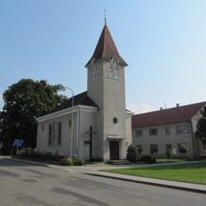
Chapel of the Visitation
2.9 km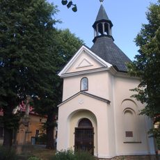
Chapel of Saint Wendelin
2 km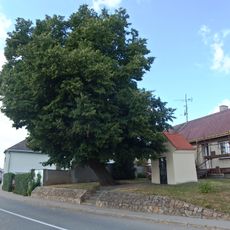
Chapel of Saint Anne
3.2 km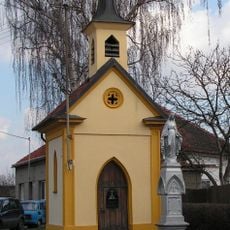
Chapel of Saints John and Paul
3.8 km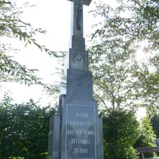
Wayside cross
770 m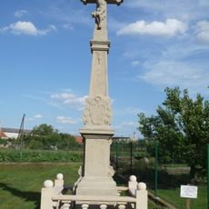
Wayside cross (Radslavice, Přerov)
1.4 km
Hřbitov Prosenice
1.8 kmHeeft u deze plek bezocht? Tik op de sterren om een beoordeling te geven en uw ervaring of foto's te delen met de community! Probeer het nu! U kunt het op elk moment annuleren.
Ontdek verborgen schatten op elk avontuur!
Van karakteristieke kleine cafeetjes tot geheime uitzichtpunten – ontvlucht de drukte en vind plekken die echt bij jou passen. Onze app maakt het makkelijk: spraakzoekopdrachten, slimme filters, geoptimaliseerde routes en authentieke tips van reizigers wereldwijd. Download nu en beleef het avontuur op je smartphone!

Een nieuwe benadering van toeristische ontdekking❞
— Le Figaro
Alle plekken die de moeite waard zijn om te ontdekken❞
— France Info
Een uitstapje op maat in slechts een paar klikken❞
— 20 Minutes