
Komárno, okres Kroměříž
Locatie: Kroměříž District
Locatie: správní obvod obce s rozšířenou působností Bystřice pod Hostýnem
Hoogte boven de zeespiegel: 368 m
Grenst aan: Kelč, Osíčko, Podhradní Lhota, Provodovice, Kunovice
E-mail: komarno@knet.cz
Website: http://komarno.cz
GPS-coördinaten: 49.43457,17.78039
Laatste update: 3 maart 2025 om 21:24
Zámek Loučka
3.8 km
Rozhledna Na vodojemu Kunovice
2.9 km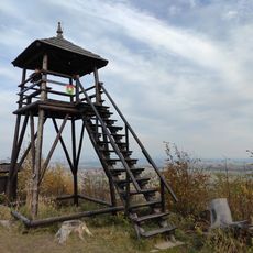
Rozhledna Kunovická hůrka
2.8 km
Nový Šaumburk
2.4 km
Naučná stezka profesora Rudolfa Haši
2.8 km
Šaumburk
2.7 km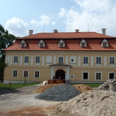
Všechovice Castle
3.3 km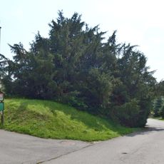
Všechovický tis
3.3 km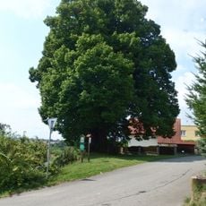
Lípa Jana Jiskry z Brandýsa
4.1 km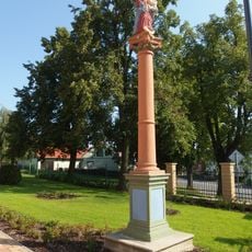
Socha Panny Marie
2.1 km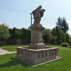
Socha svatého Jana Nepomuckého
4.2 km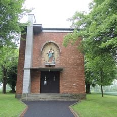
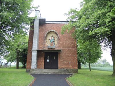
Chapel of Saints Cyril and Methodius in Komárno
320 m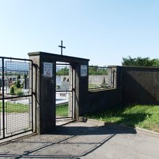
Cemetery in Všechovice
3.4 km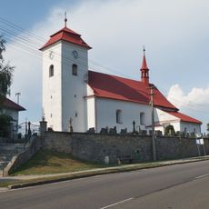
Church of Saint Wenceslaus
4.3 km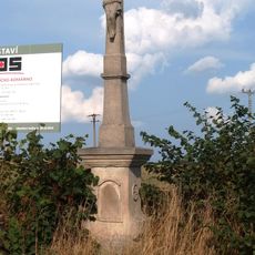
Kříž
4 km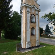
Boží muka
3.4 km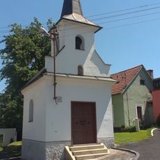
Chapel of Saint Mary
2.4 km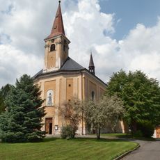
Church of Holy Trinity
3.5 km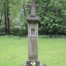
Boží muka U svaté Anny
2.4 km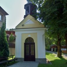
Kaple Panny Marie
3.2 km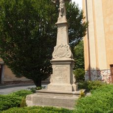
Krucifix
3.5 km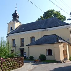
Church of the Good Shepherd
3.9 km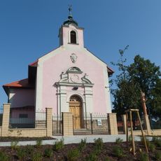
Chapel of the Sacred Heart
2.1 km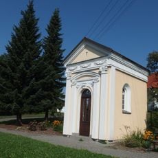
Chapel of Saint Anne
2.6 km
Lipová alej v Komárně
375 m
Hrušeň pod Javorníkem
2 km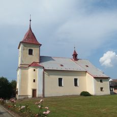
Church of the Nativity of the Virgin Mary
3.8 km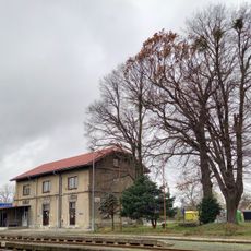
Dub v Kunovicích
2.8 kmHeeft u deze plek bezocht? Tik op de sterren om een beoordeling te geven en uw ervaring of foto's te delen met de community! Probeer het nu! U kunt het op elk moment annuleren.
Ontdek verborgen schatten op elk avontuur!
Van karakteristieke kleine cafeetjes tot geheime uitzichtpunten – ontvlucht de drukte en vind plekken die echt bij jou passen. Onze app maakt het makkelijk: spraakzoekopdrachten, slimme filters, geoptimaliseerde routes en authentieke tips van reizigers wereldwijd. Download nu en beleef het avontuur op je smartphone!

Een nieuwe benadering van toeristische ontdekking❞
— Le Figaro
Alle plekken die de moeite waard zijn om te ontdekken❞
— France Info
Een uitstapje op maat in slechts een paar klikken❞
— 20 Minutes