
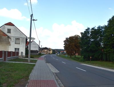
Býškovice, gemeente in Přerov
Locatie: Přerov District
Locatie: Hranice (klein district)
Hoogte boven de zeespiegel: 278 m
Grenst aan: Rakov, Vítonice, Horní Nětčice, Horní Újezd, Všechovice, Malhotice, Opatovice
E-mail: obec@byskovice.cz
Website: http://byskovice.cz
GPS-coördinaten: 49.46747,17.71408
Laatste update: 28 maart 2025 om 09:19
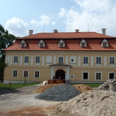
Všechovice Castle
3.3 km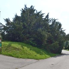
Všechovický tis
3.4 km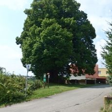
Lípa Jana Jiskry z Brandýsa
4.6 km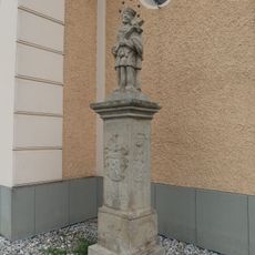
Socha svatého Jana Nepomuckého
4.3 km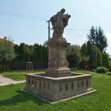
Socha svatého Jana Nepomuckého
4.9 km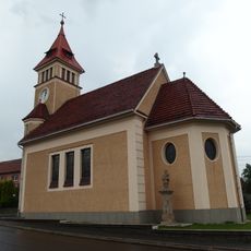
Church of the Immaculate Conception
4.3 km
Socha svatého Vavřince
5.1 km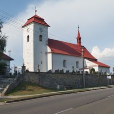
Church of Saint Wenceslaus
4.9 km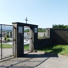
Cemetery in Všechovice
3.7 km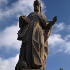
Socha svatého Vendelína
4.7 km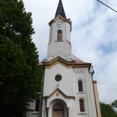
Church of Saints Cyril and Methodius
2.7 km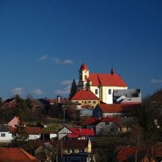
Church of the Assumption
4.6 km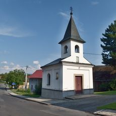
Chapel of Saint Anne
4.1 km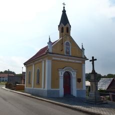
Chapel of Saint Anthony of Padua
2.3 km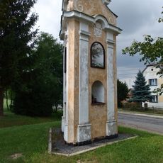
Boží muka
3 km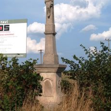
Kříž
5.1 km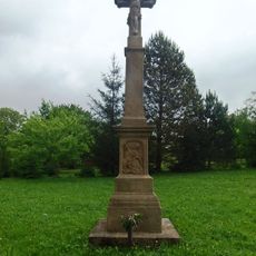
Zelený kříž
2.6 km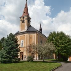
Church of Holy Trinity
3.2 km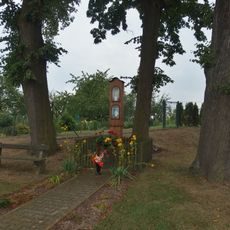
Boží muka
4.3 km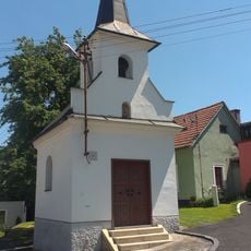
Chapel of Saint Mary
5.1 km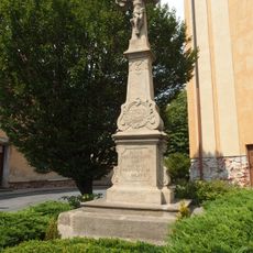
Krucifix
3.2 km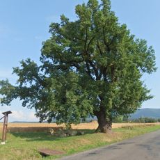
Dub Na Záhonkách
4.4 km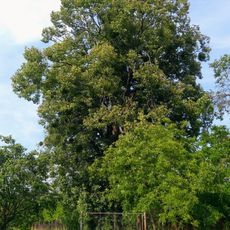
Lípa ve Vítonicích
2.8 km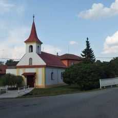
Chapel of Saint Anne
186 m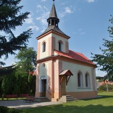
Chapel of the Visitation
3 km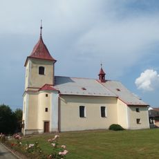
Church of the Nativity of the Virgin Mary
2.6 km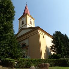
Church of Saint Margaret
3.6 km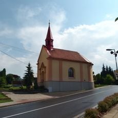
Chapel of Saint Maurice
4 kmHeeft u deze plek bezocht? Tik op de sterren om een beoordeling te geven en uw ervaring of foto's te delen met de community! Probeer het nu! U kunt het op elk moment annuleren.
Ontdek verborgen schatten op elk avontuur!
Van karakteristieke kleine cafeetjes tot geheime uitzichtpunten – ontvlucht de drukte en vind plekken die echt bij jou passen. Onze app maakt het makkelijk: spraakzoekopdrachten, slimme filters, geoptimaliseerde routes en authentieke tips van reizigers wereldwijd. Download nu en beleef het avontuur op je smartphone!

Een nieuwe benadering van toeristische ontdekking❞
— Le Figaro
Alle plekken die de moeite waard zijn om te ontdekken❞
— France Info
Een uitstapje op maat in slechts een paar klikken❞
— 20 Minutes