
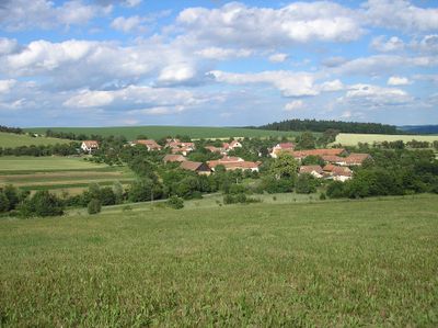
Zhoř, okres Brno-venkov
Locatie: Тишнов
Locatie: Brno-Country District
Hoogte boven de zeespiegel: 495 m
Grenst aan: Brťov-Jeneč, Rašov, Bukovice
E-mail: obec@zhor-bv.cz
Website: http://zhor-bv.cz
GPS-coördinaten: 49.41471,16.47891
Laatste update: 2 april 2025 om 08:25
Babylon (Blansko District)
3.4 km
Žižkův dub
3.9 km
Přírodní park Lysicko
3.2 km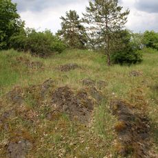
Svídovec
3.8 km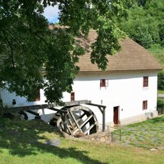
Porč watermill
4.2 km
Zámecký les v Lomnici
4.5 km
Padělky
4.5 km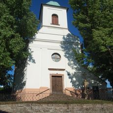
Kostel svatého Petra a Pavla
3.7 km
Church of Saint Bartholomew in Dlouhá Lhota
2.9 km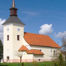
Kostel svatého Jakuba Staršího
1.7 km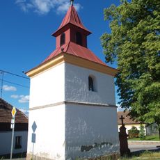
Chapel of the Assumption
4.4 km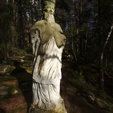
Socha svatého Stanislava
4 km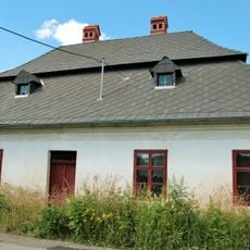
Rectory in Dlouhá Lhota
2.8 km
Chapel of Saint Anne
1.2 km
Vrba u Krbu
4.2 km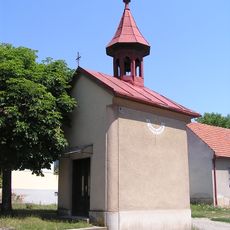
Chapel of Holy Trinity
4.6 km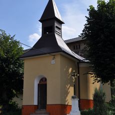
Chapel of Saints Cyril and Methodius
3.6 km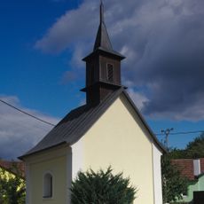
Chapel of the Virgin Mary of the Rosary
3.8 km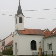
Chapel of the Assumption
2.6 km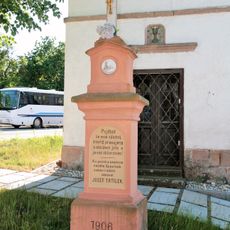
Kříž
4.4 km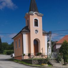
Chapel of Saint Anne
3.6 km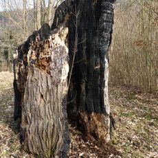
Lípa srdčitá v Lomnici
4.6 km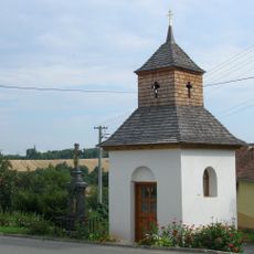
Kříž
1.2 km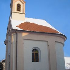
Chapel of Saints Cyril nad Methodius
8 m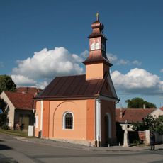
Chapel of Saints Cyril and Methodius in Rohozec
2.7 km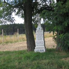
Pamětní kříž jižně od Bedřichova u silnice na Kozárov
4.8 km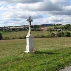
Pamětní kříž jižně od Kozárova u silnice k rozcestí Rašov
3.3 km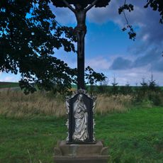
Pamětní kříž na severním okraji Kozárova u křižovatky silnic
3.8 kmHeeft u deze plek bezocht? Tik op de sterren om een beoordeling te geven en uw ervaring of foto's te delen met de community! Probeer het nu! U kunt het op elk moment annuleren.
Ontdek verborgen schatten op elk avontuur!
Van karakteristieke kleine cafeetjes tot geheime uitzichtpunten – ontvlucht de drukte en vind plekken die echt bij jou passen. Onze app maakt het makkelijk: spraakzoekopdrachten, slimme filters, geoptimaliseerde routes en authentieke tips van reizigers wereldwijd. Download nu en beleef het avontuur op je smartphone!

Een nieuwe benadering van toeristische ontdekking❞
— Le Figaro
Alle plekken die de moeite waard zijn om te ontdekken❞
— France Info
Een uitstapje op maat in slechts een paar klikken❞
— 20 Minutes