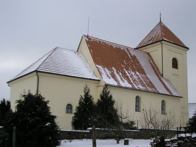
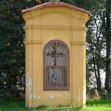
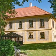
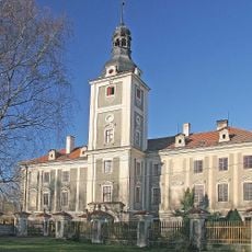
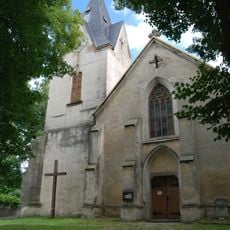
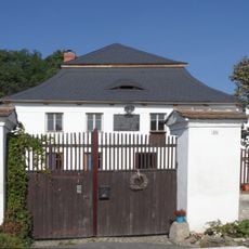
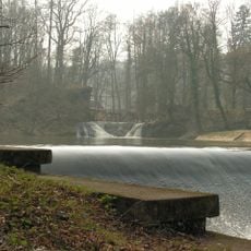
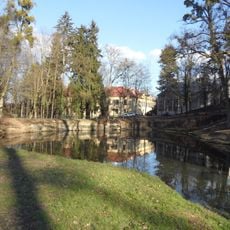
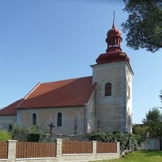
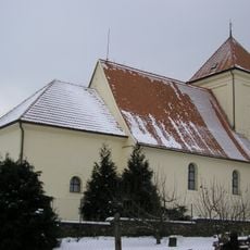
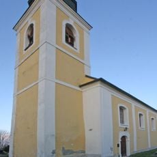
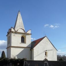
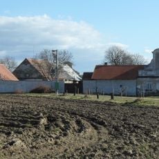
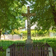
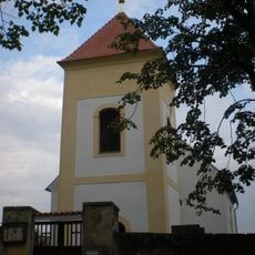
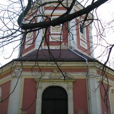
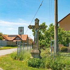
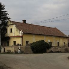
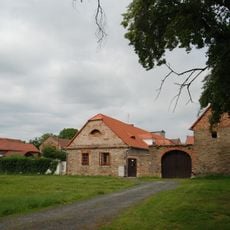
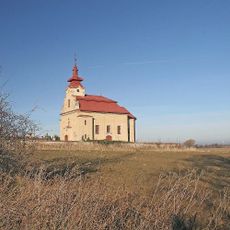
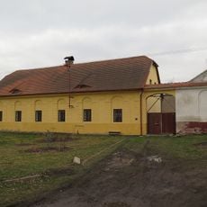
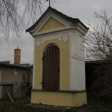
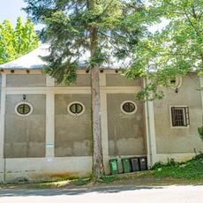
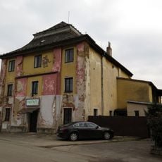
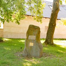
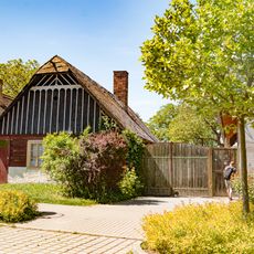
Bratčice, okres Kutná Hora
Locatie: Kutná Hora District
Locatie: Часлаў
Hoogte boven de zeespiegel: 318 m
Grenst aan: Podmoky, Okřesaneč, Vlkaneč, Potěhy, Hostovlice, Horky, Adamov
E-mail: ou.bratcice@seznam.cz
Website: http://bratcice.cz
GPS-coördinaten: 49.85527,15.43043
Laatste update: 4 maart 2025 om 06:35
Výklenková kaplička Panny Marie
665 m
Hostačov
4.5 km
Tupadly Castle
2.6 km
Church of Saint Godehard (Potěhy)
1.6 km
Watermill in Bratčice
326 m
Ronovská tabule
3.7 km
Zámecký park Hostačov
4.4 km
Church of Saint Wenceslaus (Přibyslavice)
2.2 km
Church of Saint Wenceslaus
87 m
Church of Saint Wenceslaus in Horky
1.9 km
Church of Saint Bartholomew
3.1 km
Zájezdní hostinec
2.6 km
Kříž
4.8 km
Church of All Saints
4.7 km
Church of the Assumption of the Virgin Mary
3.4 km
Kříž
4.7 km
Usedlost čp. 62
2.8 km
Usedlost čp. 11
2 km
Church of the Name of the Virgin Mary
2.5 km
Usedlost čp. 3
1.7 km
Výklenková kaplička
2.3 km
Konírna zámku Hostačov
4.5 km
Hospoda
2.4 km
Pomník
5 km
Douglaska v Zálesí
954 m
Usedlost čp. 2
1.7 km
Zvonice v Golčově Jeníkově
5.2 km
Roubený dům
5.1 kmHeeft u deze plek bezocht? Tik op de sterren om een beoordeling te geven en uw ervaring of foto's te delen met de community! Probeer het nu! U kunt het op elk moment annuleren.
Ontdek verborgen schatten op elk avontuur!
Van karakteristieke kleine cafeetjes tot geheime uitzichtpunten – ontvlucht de drukte en vind plekken die echt bij jou passen. Onze app maakt het makkelijk: spraakzoekopdrachten, slimme filters, geoptimaliseerde routes en authentieke tips van reizigers wereldwijd. Download nu en beleef het avontuur op je smartphone!
Een nieuwe benadering van toeristische ontdekking❞
— Le Figaro
Alle plekken die de moeite waard zijn om te ontdekken❞
— France Info
Een uitstapje op maat in slechts een paar klikken❞
— 20 Minutes