
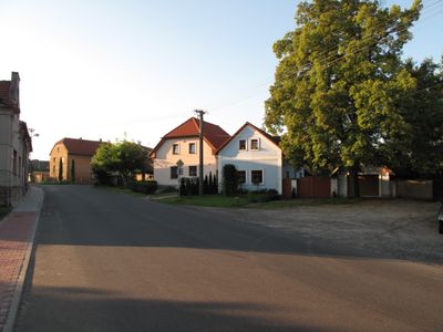
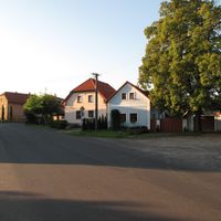
Klučov, okres Kolín
Locatie: Kolín District
Locatie: Чэскі-Брод
Hoogte boven de zeespiegel: 207 m
Grenst aan: Chrást, Chrášťany, Chotutice, Poříčany, Český Brod, Tatce, Hořany, Kounice
E-mail: obecni.urad@klucov.cz
Website: http://klucov.cz
GPS-coördinaten: 50.09508,14.91014
Laatste update: 7 maart 2025 om 04:59
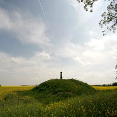
Mohyla v Chotouni
4.9 km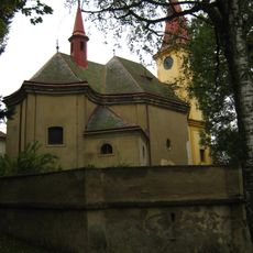
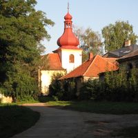
Saint Procopius church in Chotouň
4.6 km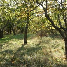
Klučov
352 m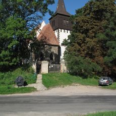
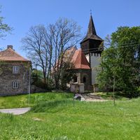
Church of the Beheading of Saint John the Baptist (Skramníky)
3.7 km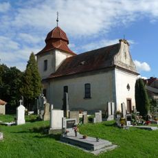
Saint Bartholomew Church in Bylany
3.5 km
Bylanská pahorkatina
3.6 km
Milčice
5.3 km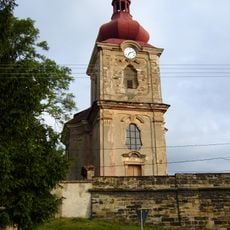
Church of the Nativity of the Virgin Mary
1.2 km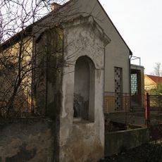
Chapel of Saint John of Nepomuk
4.8 km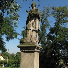
Socha svatého Jana Nepomuckého
3.7 km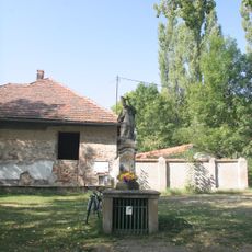
Socha svatého Prokopa
4.6 km
Krucifix
3.6 km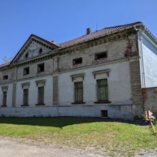
Kamenná deska s erbem na domě čp. 2
2.6 km
Church of the Assumption
1.7 km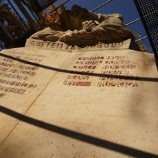
World war I memorial in Poříčany
1.4 km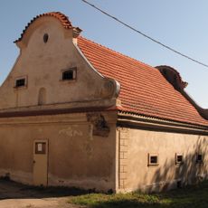
Barokní sýpka
4.7 km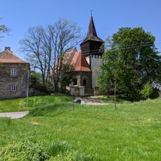
Skramníky
3.8 km
Průčelí usedlosti čp. 23
1.6 km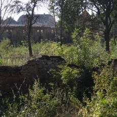
Tvrziště Na valech
186 m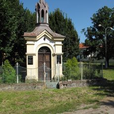
Chapel of Saint Wenceslaus
2.6 km
Cross in Liblice
2.8 km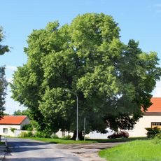
Tatecká lípa republiky
4.7 km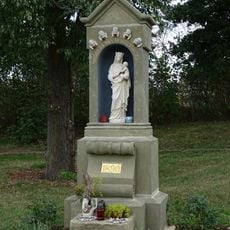
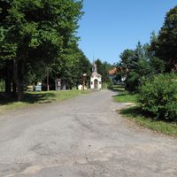
Chapel-shrine of the Virgin Mary in Liblice
3 km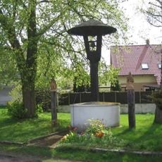
Krytá dřevěná zvonička ve středu obce Klučov
84 m
Milčice
5.3 km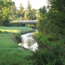
Most přes Šemberu v Klučově
98 m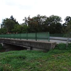
Bridge of road III/3301 over the Šembera in Liblice
3 km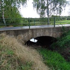
Bridge of road III/3303 over the Jalový potok
3.3 kmHeeft u deze plek bezocht? Tik op de sterren om een beoordeling te geven en uw ervaring of foto's te delen met de community! Probeer het nu! U kunt het op elk moment annuleren.
Ontdek verborgen schatten op elk avontuur!
Van karakteristieke kleine cafeetjes tot geheime uitzichtpunten – ontvlucht de drukte en vind plekken die echt bij jou passen. Onze app maakt het makkelijk: spraakzoekopdrachten, slimme filters, geoptimaliseerde routes en authentieke tips van reizigers wereldwijd. Download nu en beleef het avontuur op je smartphone!

Een nieuwe benadering van toeristische ontdekking❞
— Le Figaro
Alle plekken die de moeite waard zijn om te ontdekken❞
— France Info
Een uitstapje op maat in slechts een paar klikken❞
— 20 Minutes