Sitio histórico: Observatorio
Locatie: La Cerollera / la Sorollera
GPS-coördinaten: 40.81124,-0.08730
Laatste update: 21 november 2025 om 11:11
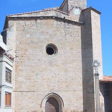
Iglesia de Nuestra Señora de la Asunción, Ráfales
9.5 km
Château de La Muela
5.2 km
Hotel Restaurante El Molí de l'Hereu
9.6 km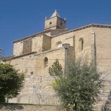
Iglesia de San Bartolomé
7.6 km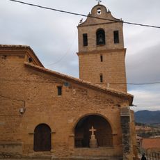
Església de l'Assumpció de Mont-roig de Tastavins
5.4 km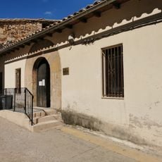
Biblioteca Pública Municipal de Monroyo
5.3 km
Church of La Pobla d'Alcolea
9.4 km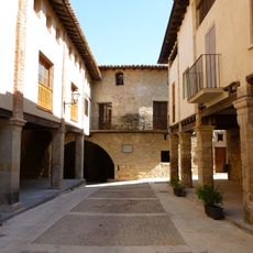
Conjunto Histórico Artístico la Villa de Ráfales
9.5 km
Chapel of Saint Joseph of La Pobleta d'Alcolea
9.8 km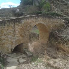
Puente Medieval de Torre de Arcas
6.9 km
Chapel of Saint Mark
9.3 km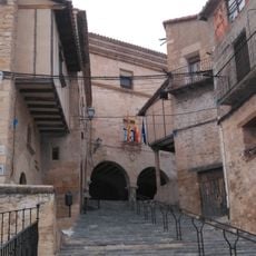
Town hall of Mont-roig de Tastavins
5.3 km
Sitio histórico: Cabaña 3
134 m
Ermita de San Gregorio
8.4 km
Sitio histórico: Cabaña 1
95 m
Sitio histórico: Cabaña 4
128 m
Sitio historico: Cocina
135 m
La Cárcel
9.5 km
Soportales
9.5 km
Sitio histórico: Cabaña 2
69 m
Uitzichtpunt
9 km
Uitzichtpunt
9 km
Uitzichtpunt
8.4 km
Uitzichtpunt
5.1 km
Uitzichtpunt
5.2 km
Mirador de Monegrell
6.8 km
Mirador de l'Esglèsia
9.4 km
Castillo de la Orden de Calatrava (restos)
9.7 kmBeoordelingen
Heeft u deze plek bezocht? Tik op de sterren om een beoordeling te geven en uw ervaring of foto's te delen met de community! Probeer het nu! U kunt het op elk moment annuleren.
Ontdek verborgen schatten op elk avontuur!
Van karakteristieke kleine cafeetjes tot geheime uitzichtpunten – ontvlucht de drukte en vind plekken die echt bij jou passen. Onze app maakt het makkelijk: spraakzoekopdrachten, slimme filters, geoptimaliseerde routes en authentieke tips van reizigers wereldwijd. Download nu en beleef het avontuur op je smartphone!

Een nieuwe benadering van toeristische ontdekking❞
— Le Figaro
Alle plekken die de moeite waard zijn om te ontdekken❞
— France Info
Een uitstapje op maat in slechts een paar klikken❞
— 20 Minutes