
Johnstown Flood National Memorial
Locatie: Croyle Township
Adres: 733 Lake Rd, South Fork, PA 15956
Telefoon: +(814)8866171
Website: http://nps.gov/jofl
GPS-coördinaten: 40.34981,-78.77120
Laatste update: 29 maart 2025 om 20:57
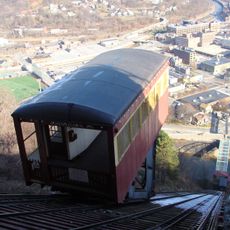
Johnstown Inclined Plane
13.6 km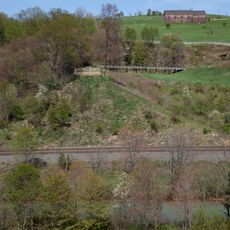
Johnstown Flood National Memorial
462 m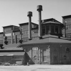
Cambria Iron Company
13 km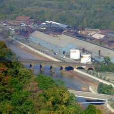
Stone Bridge
13.2 km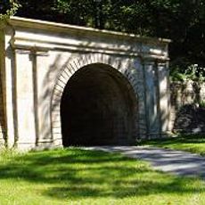
Staple Bend Tunnel
7.2 km
Johnstown Flood Museum
12.9 km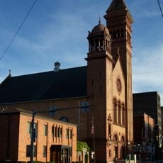
Cathedral of Saint John Gualbert
12.5 km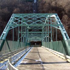
Inclined Plane Bridge
13.4 km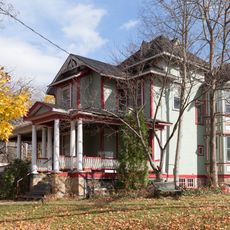
Moxham Historic District
13 km
John P. Saylor Trail
15 km
Cambria City Historic District
13.5 km
Downtown Johnstown Historic District
12.8 km
Windber Historic District
13.7 km
Old Conemaugh Borough Historic District
12.1 km
Nathan's Department Store
12.8 km
Minersville Historic District
13.2 km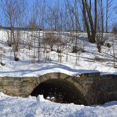
Bridge in Portage Township
12.6 km
Grand Army of the Republic Hall
12.8 km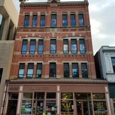
Alma Hall
12.8 km
Westmont Historic District
14.5 km
Portage Historic District
9.2 km
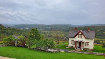
Unger House
51 m
Heritage Discovery Center
13.6 km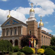
Christ the Saviour Orthodox Cathedral (Johnstown, Pennsylvania)
14.9 km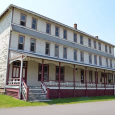
South Fork Fishing and Hunting Club Clubhouse
1.4 km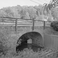
Lilly Bridge
15.3 km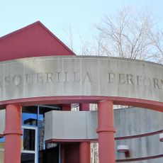
Pasquerilla Performing Arts Center
10.5 km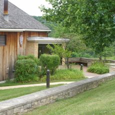
Lake View Visitor Center
6 mBeoordelingen
Heeft u deze plek bezocht? Tik op de sterren om een beoordeling te geven en uw ervaring of foto's te delen met de community! Probeer het nu! U kunt het op elk moment annuleren.
Ontdek verborgen schatten op elk avontuur!
Van karakteristieke kleine cafeetjes tot geheime uitzichtpunten – ontvlucht de drukte en vind plekken die echt bij jou passen. Onze app maakt het makkelijk: spraakzoekopdrachten, slimme filters, geoptimaliseerde routes en authentieke tips van reizigers wereldwijd. Download nu en beleef het avontuur op je smartphone!

Een nieuwe benadering van toeristische ontdekking❞
— Le Figaro
Alle plekken die de moeite waard zijn om te ontdekken❞
— France Info
Een uitstapje op maat in slechts een paar klikken❞
— 20 Minutes