
Guidestone, Huncoat, Higher Coat Road, guide stone in Accrington , Hyndburn, UK
Locatie: Hyndburn
Ontstaan: 19e eeuw
GPS-coördinaten: 53.76970,-2.33919
Laatste update: 3 maart 2025 om 01:35

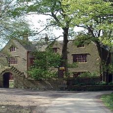
Shuttleworth Hall
1.9 km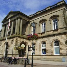
Accrington Town Hall
2.5 km
St James' Church, Altham
2.7 km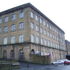
Globe Works
3 km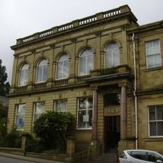
Accrington Library
2.6 km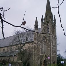
Cannon Street Baptist Church
2.7 km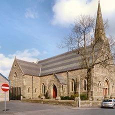
Church of St John the Evangelist
2 km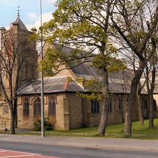
Church of St Augustine (Of Hippo)
719 m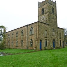
Church of St James
2.6 km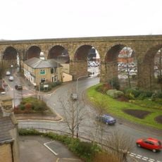
Accrington Viaduct
2.4 km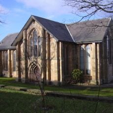
Christ Church, Accrington
2.8 km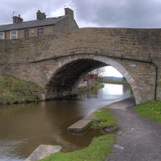
Canal Bridge Number 121
2.3 km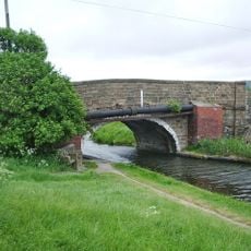
Canal Bridge
1.5 km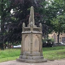
Monument to Adam Westwell circa 40 metres west of Church of St James
2.6 km
Clayton-le-Moors Library
3 km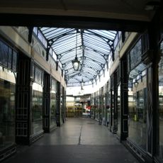
Arcade
2.6 km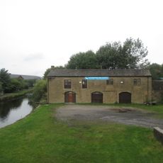
Stable Block On East Side Of Leeds-Liverpool Canal Opposite Canal Company Warehouses
2.9 km
Moor Side House
2 km
Altham War Memorial, Lancashire
2.6 km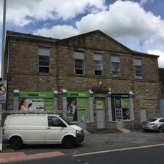
100 And 102, Blackburn Road
2.6 km
Canal Warehouses With Attached Office And House, On West Side Of Leeds-Liverpool Canal
3 km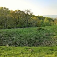
Hapton Castle
1.5 km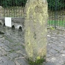
Village Stocks In Corner Of Road 100 Metres East Of Hill House
2 m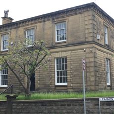
21, Cannon Street
2.7 km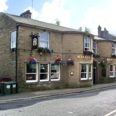
Numbers 53, 55 (Warners Arms) And 57
2.6 km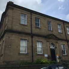
Mechanics Institution
2.6 km
Milestone, Whalley Road
2.3 km
Milestone, Burnley Road, Allotment Hall Farm
2.3 kmHeeft u deze plek bezocht? Tik op de sterren om een beoordeling te geven en uw ervaring of foto's te delen met de community! Probeer het nu! U kunt het op elk moment annuleren.
Ontdek verborgen schatten op elk avontuur!
Van karakteristieke kleine cafeetjes tot geheime uitzichtpunten – ontvlucht de drukte en vind plekken die echt bij jou passen. Onze app maakt het makkelijk: spraakzoekopdrachten, slimme filters, geoptimaliseerde routes en authentieke tips van reizigers wereldwijd. Download nu en beleef het avontuur op je smartphone!

Een nieuwe benadering van toeristische ontdekking❞
— Le Figaro
Alle plekken die de moeite waard zijn om te ontdekken❞
— France Info
Een uitstapje op maat in slechts een paar klikken❞
— 20 Minutes