
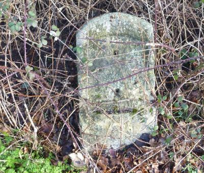
Milestone, Penbury Road, at jct with A21, in cul de sac of old road, milestone in Tonbridge, Tonbridge And Malling, UK
Locatie: Tonbridge and Malling
Ontstaan: 19e eeuw
GPS-coördinaten: 51.17969,0.28744
Laatste update: 3 maart 2025 om 21:21
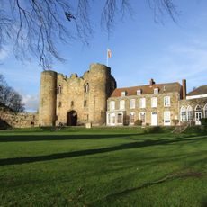
Tonbridge Castle
2.1 km
Church of All Saints
2.3 km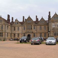
Somerhill House
956 m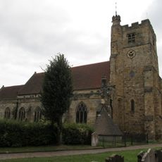
Church of St Peter and St Paul
2.1 km
The Rose And Crown Hotel
2.1 km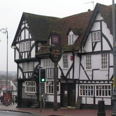
Ye Olde Chequers Inn
2 km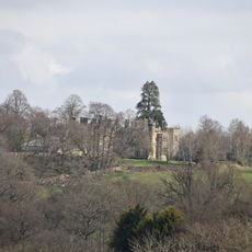
Mabledon Park
1.9 km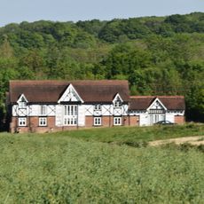
Milking Parlour And Cider House Immediately South Of Park Farmhouse
1.6 km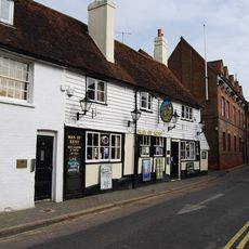
The Man Of Kent Public House
2 km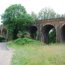
Colebrook Viaduct
2 km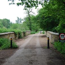
Lake Bridge
246 m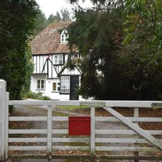
Fairthorne House
2.2 km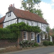
The Hermitage
2 km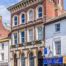
139, High Street
2.1 km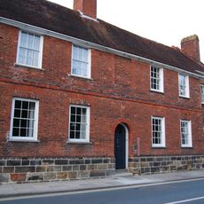
The Red House
2.2 km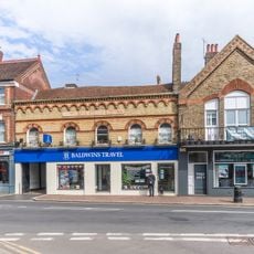
157, High Street
2.2 km
Minerva House Minerva House Annexe
2.2 km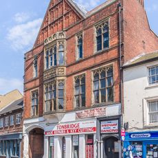
145 And 147, High Street
2.1 km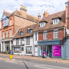
161, High Street
2.2 km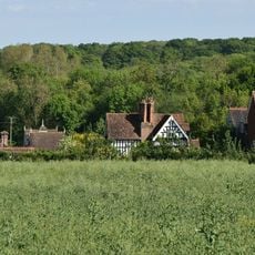
Park Farmhouse
1.6 km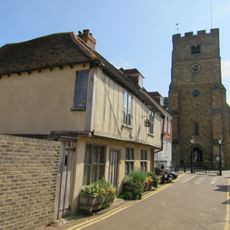
Tyger's Head
2.2 km
15, Bordyke
2.1 km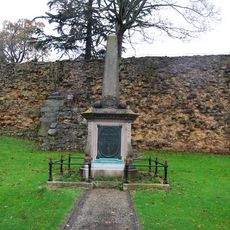
Tonbridge Boer War Memorial
2 km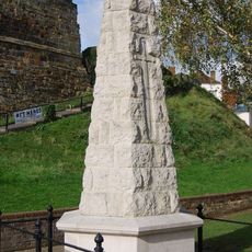
Tonbridge War Memorial
2 km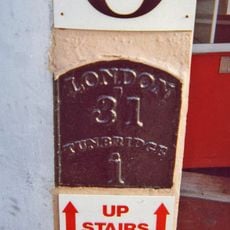
Milestone, Railway Approach, close to N of Pembury Road, in wall of Beat N Track shop
1.7 km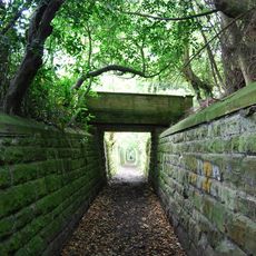
Terrace Walls Around The South And East Sides Of Somerhill Including The Sunken Lake Approximately 5 Metres North Of The Somerhill Stable Yard
1 km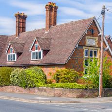
Old School House
1.6 km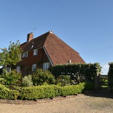
Church Farmhouse Including Bakehouse Approximately 1.5 Metres to the East
2.2 kmHeeft u deze plek bezocht? Tik op de sterren om een beoordeling te geven en uw ervaring of foto's te delen met de community! Probeer het nu! U kunt het op elk moment annuleren.
Ontdek verborgen schatten op elk avontuur!
Van karakteristieke kleine cafeetjes tot geheime uitzichtpunten – ontvlucht de drukte en vind plekken die echt bij jou passen. Onze app maakt het makkelijk: spraakzoekopdrachten, slimme filters, geoptimaliseerde routes en authentieke tips van reizigers wereldwijd. Download nu en beleef het avontuur op je smartphone!

Een nieuwe benadering van toeristische ontdekking❞
— Le Figaro
Alle plekken die de moeite waard zijn om te ontdekken❞
— France Info
Een uitstapje op maat in slechts een paar klikken❞
— 20 Minutes