
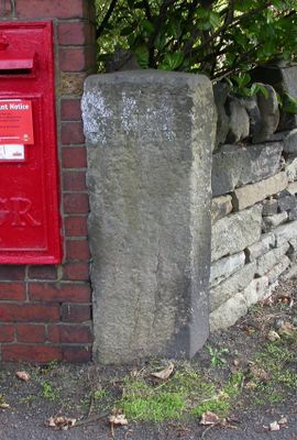
Guidestone, Stocksmoor, Cross Lane, guide stone in Kirkburton, Kirklees, UK
Locatie: Kirklees
Ontstaan: 18e eeuw
GPS-coördinaten: 53.59437,-1.72952
Laatste update: 3 maart 2025 om 03:47
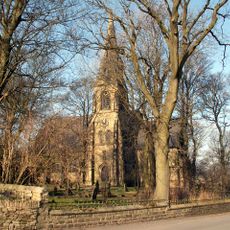
Church of St Thomas, Thurstonland
1.4 km
Low Fold Farm The Post Office (The Village)
1.5 km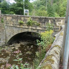
Thunder Bridge
957 m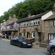
The Woodman Public House
1 km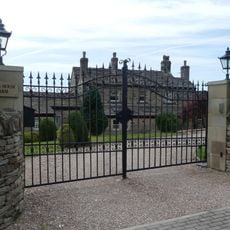
Lumb House Farmhouse
999 m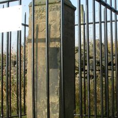
Old Milestone
1.5 km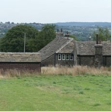
Marsh Hall Farmhouse and barn
1.5 km
152 and 154, Penistone Road
1.5 km
5, 9 and 11, Thunder Bridge Lane
1.1 km
18 and 20, Dam Hill
1.3 km
50 and 52, The Village
1.4 km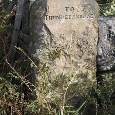
Old Guide Post At Junction With Wood Lane
1 km
54, The Village
1.4 km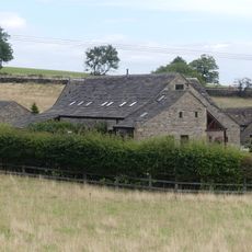
Dairy 100 yards to west of Blake House
1.4 km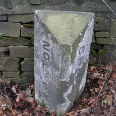
Boundary Stone 150 Yards South Of Junction With Riley Lane
1.6 km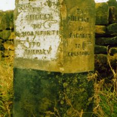
Old Guide Post At Junction With Ing Head Lane
687 m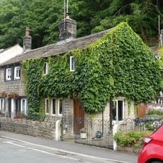
15 and 17, Thunder Bridge Lane
1 km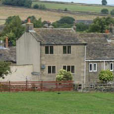
4, The Village
1.6 km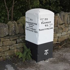
Old Guide Post At Junction With Stores Hall Road
1.3 km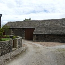
Barn 10 yards to east of Number 9 Upper Fold Farmhouse
1.6 km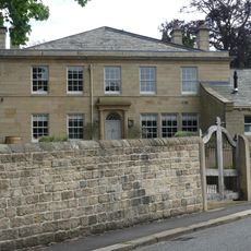
Birks Gate and attached outbuildings
921 m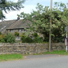
Marsh Hall
1.5 km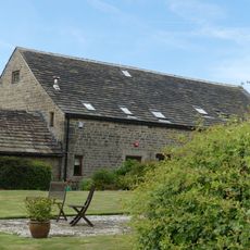
Barn 100 yards to north of Blake House
1.4 km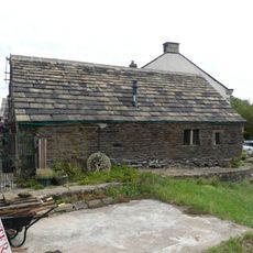
Small former barn now adjoining Number 5 Upper Fold Farmhouse
1.6 km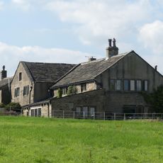
Moor View Farmhouse
1.6 km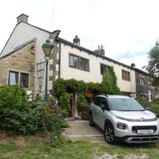
Upper Fold Farmhouse
1.6 km
60, The Village
1.4 km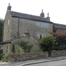
72, The Village
1.4 kmHeeft u deze plek bezocht? Tik op de sterren om een beoordeling te geven en uw ervaring of foto's te delen met de community! Probeer het nu! U kunt het op elk moment annuleren.
Ontdek verborgen schatten op elk avontuur!
Van karakteristieke kleine cafeetjes tot geheime uitzichtpunten – ontvlucht de drukte en vind plekken die echt bij jou passen. Onze app maakt het makkelijk: spraakzoekopdrachten, slimme filters, geoptimaliseerde routes en authentieke tips van reizigers wereldwijd. Download nu en beleef het avontuur op je smartphone!

Een nieuwe benadering van toeristische ontdekking❞
— Le Figaro
Alle plekken die de moeite waard zijn om te ontdekken❞
— France Info
Een uitstapje op maat in slechts een paar klikken❞
— 20 Minutes