
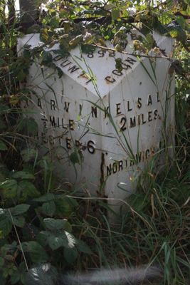
Milepost, Tarvin Sands, milepost in Tarvin, Chester, UK
Locatie: Chester
Ontstaan: 19e eeuw
GPS-coördinaten: 53.20342,-2.75689
Laatste update: 11 maart 2025 om 01:28
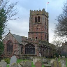
St Andrew's Church, Tarvin
752 m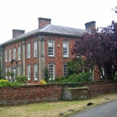
Hockenhull Hall
1.9 km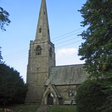
St John the Evangelist's Church, Ashton Hayes
2.5 km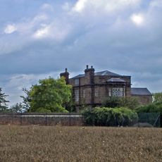
Peel Hall
2.1 km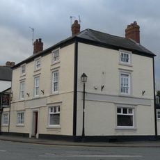
Red Lion
783 m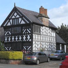
Church House
778 m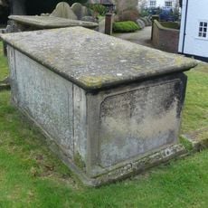
Tombchest of John Minshull and daughter, south-west corner of churchyard of St. Andrew
800 m
Number 86 and attached outbuilding
596 m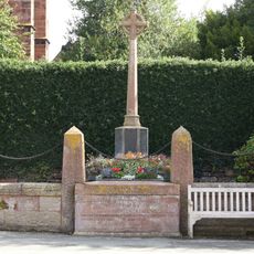
Tarvin War Memorial
797 m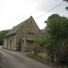
Ashton Village Hall
2.5 km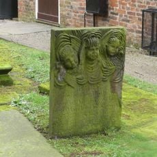
Tombstone of Beatrix Hollinsworth 12 metres west door of Church of St Andrew
776 m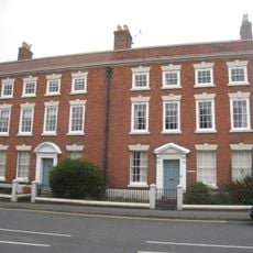
The Flaggs and Hamilton House, and front garden walls and gates
765 m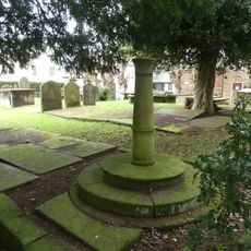
Sundial in the churchyard of St Andrew
791 m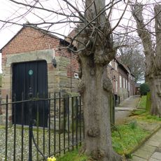
Church Hall, Grammar School House and the Hearse House
758 m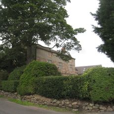
Ashton Hall Farmhouse
1.8 km
Laurel House
595 m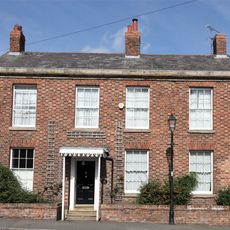
Roade House
855 m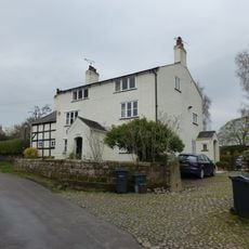
The White House
2.5 km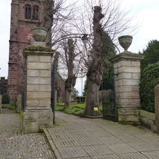
Gates and gatepiers to the churchyard of St. Andrew
787 m
76, High Street
624 m
78 and 80, High Street
611 m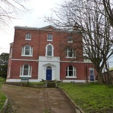
Tarvin Hall
903 m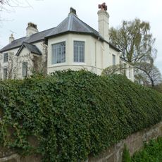
The Old Rectory
2.6 km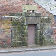
Lock up on the end of the barn at Weldon House
2.4 km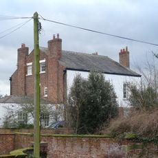
The Vicarage
824 m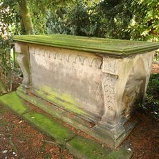
Tombchest of William Sandbach and others, 5m south-east of sundial in churchyard of St Andrew
794 m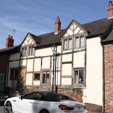
51, High Street
875 m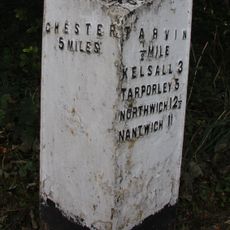
Milepost, E of on roundabout jct of A54 & A51
1.6 kmHeeft u deze plek bezocht? Tik op de sterren om een beoordeling te geven en uw ervaring of foto's te delen met de community! Probeer het nu! U kunt het op elk moment annuleren.
Ontdek verborgen schatten op elk avontuur!
Van karakteristieke kleine cafeetjes tot geheime uitzichtpunten – ontvlucht de drukte en vind plekken die echt bij jou passen. Onze app maakt het makkelijk: spraakzoekopdrachten, slimme filters, geoptimaliseerde routes en authentieke tips van reizigers wereldwijd. Download nu en beleef het avontuur op je smartphone!

Een nieuwe benadering van toeristische ontdekking❞
— Le Figaro
Alle plekken die de moeite waard zijn om te ontdekken❞
— France Info
Een uitstapje op maat in slechts een paar klikken❞
— 20 Minutes