
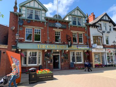
Old Town Hall, Poulton-le-Fylde, former municipal building in England
Locatie: Poulton-le-Fylde
Locatie: Wyre
GPS-coördinaten: 53.84703,-2.99263
Laatste update: 11 april 2025 om 18:42
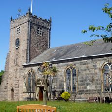
St Chad's Church, Poulton-le-Fylde
40 m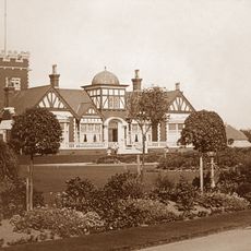
The Illawalla
1.7 km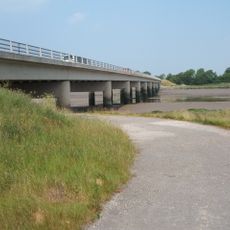
Shard Bridge
2.6 km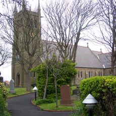
Bispham Parish Church
3.1 km
1, Vicarage Road
116 m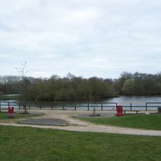
Kincraig Lake Ecological Reserve
2.4 km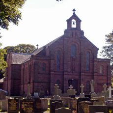
Church of St John the Evangelist, Poulton-le-Fylde
776 m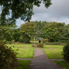
Moor Park, Blackpool
2.6 km
Fylde Memorial Arboretum and Community Woodland
2.3 km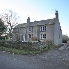
Raikes Farmhouse
3 km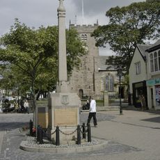
Poulton-le-Fylde War Memorial
35 m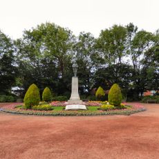
Thornton-Cleveleys War Memorial
3 km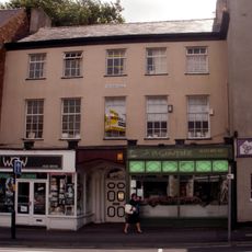
4, 6 and 10, Queen Square
113 m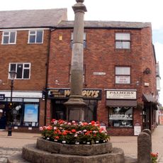
Market Cross
71 m
Poulton Library
136 m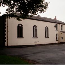
Former Chapel Of St John And Attached Priest's House
779 m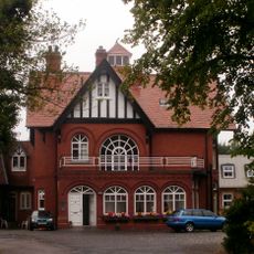
The Manor
812 m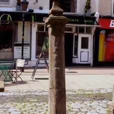
Whipping Post
66 m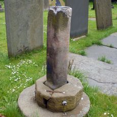
Sundial 7 Metres South Of Bispham Parish Church (All Hallows)
3.1 km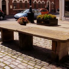
Fish Stones
68 m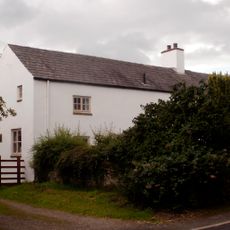
The Old Cottage
2.1 km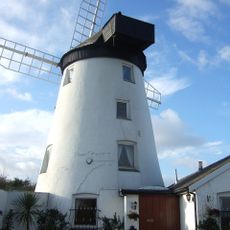
Staining Windmill
2.9 km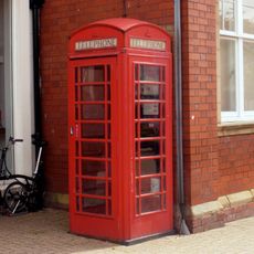
K6 Telephone Kiosk Outside Midland Bank
35 m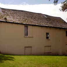
2, Market Place
28 m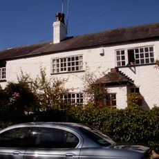
End Cottage Old Farm
1 km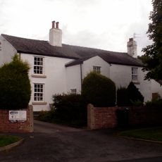
Fox's Farmhouse
2 km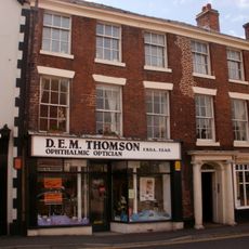
25, 27, 29 And 31, Market Place
94 m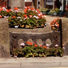
Stocks
76 mHeeft u deze plek bezocht? Tik op de sterren om een beoordeling te geven en uw ervaring of foto's te delen met de community! Probeer het nu! U kunt het op elk moment annuleren.
Ontdek verborgen schatten op elk avontuur!
Van karakteristieke kleine cafeetjes tot geheime uitzichtpunten – ontvlucht de drukte en vind plekken die echt bij jou passen. Onze app maakt het makkelijk: spraakzoekopdrachten, slimme filters, geoptimaliseerde routes en authentieke tips van reizigers wereldwijd. Download nu en beleef het avontuur op je smartphone!

Een nieuwe benadering van toeristische ontdekking❞
— Le Figaro
Alle plekken die de moeite waard zijn om te ontdekken❞
— France Info
Een uitstapje op maat in slechts een paar klikken❞
— 20 Minutes