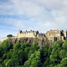
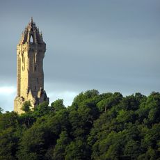
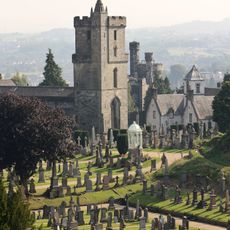
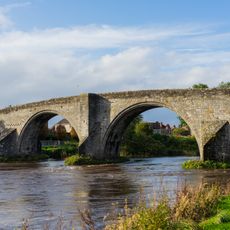
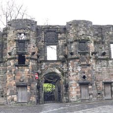
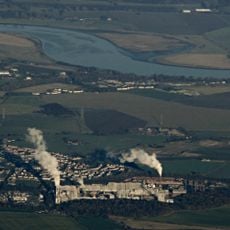
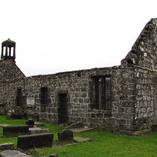
St Ninians, Scottish parish in Stirling, Scotland, UK
Locatie: Stirling
Onderdeel van: Presbytery of Stirling
Grenst aan: Stirling, Airth, Larbert, Dunipace, Denny, Kilsyth, Fintry, Gargunnock, Kincardine
GPS-coördinaten: 56.10306,-3.93889
Laatste update: 7 maart 2025 om 21:44
Stirling Castle
2.4 km
Wallace Monument
4.2 km
Ochilview Park
11.4 km
Church of the Holy Rude
2 km
Cambuskenneth Abbey
2.6 km
Argyll's Lodging
2.1 km
Equestrian statue of Robert the Bruce
1 km
Statue of Robert the Bruce
2.3 km
Duncarron
11.1 km
Torwood Castle
8.4 km
Stirling Smith Museum and Art Gallery
1.9 km
Bannockburn House
3.2 km
Stirling Old Bridge
2.8 km
Mar's Wark
2 km
Tappoch Broch
7.7 km
Alloa Swing Bridge
6.7 km
Plean Castle
7.2 km
Gean House
8.3 km
Stirling Tolbooth
2 km
The Battle of Bannockburn Visitor Centre
1.2 km
Cowane's Hospital
2 km
Viewforth House
1.2 km
Northern Glass Cone, Alloa Glass Works
8.5 km
Forthside Bridge
1.8 km
St Mary's Church
2.3 km
Tullibody Inch
6.8 km
Leckie Broch
10.5 km
Tullibody Old Kirk
7.4 kmHeeft u deze plek bezocht? Tik op de sterren om een beoordeling te geven en uw ervaring of foto's te delen met de community! Probeer het nu! U kunt het op elk moment annuleren.
Ontdek verborgen schatten op elk avontuur!
Van karakteristieke kleine cafeetjes tot geheime uitzichtpunten – ontvlucht de drukte en vind plekken die echt bij jou passen. Onze app maakt het makkelijk: spraakzoekopdrachten, slimme filters, geoptimaliseerde routes en authentieke tips van reizigers wereldwijd. Download nu en beleef het avontuur op je smartphone!
Een nieuwe benadering van toeristische ontdekking❞
— Le Figaro
Alle plekken die de moeite waard zijn om te ontdekken❞
— France Info
Een uitstapje op maat in slechts een paar klikken❞
— 20 Minutes