
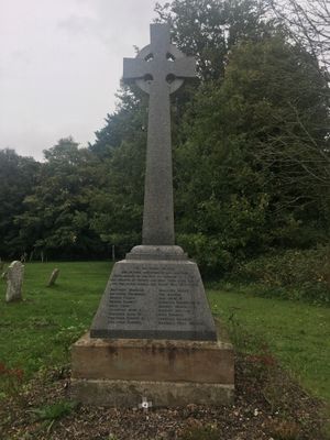
Horsham St Faith War Memorial, war memorial in Horsham St. Faith and Newton St. Faith, Broadland, Norfolk, UK
Locatie: Horsham St Faith and Newton St Faith
GPS-coördinaten: 52.68809,1.27790
Laatste update: 11 maart 2025 om 12:50

City of Norwich Aviation Museum
887 m
Horsford Castle
1.3 km
Manor Park, Horsford
1.6 km
City of Norwich Aviation Museum
890 m
Parish Church of All Saints
2 km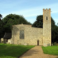
Church of St Peter
2.5 km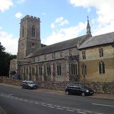
Church of the Blessed Virgin and St Andrew
33 m
2-5, Church Street
85 m
Methodist Church
75 m
Mill Farm House
930 m
The Gildencroft
400 m
The King's Head Public House
38 m
St Faith Priory
80 m
Waytes House
34 m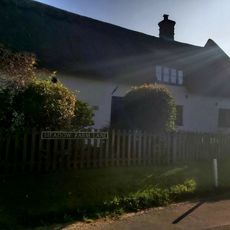
The Oaks
717 m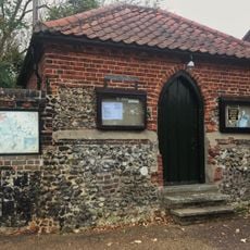
The Clink And Adjoining Boundary Wall To South
240 m
The Kennels
256 m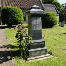
Horsford War Memorial
2 km
The White House
326 m
K6 Telephone Kiosk, Norwich Road
217 m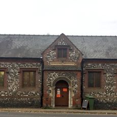
Village Hall
26 m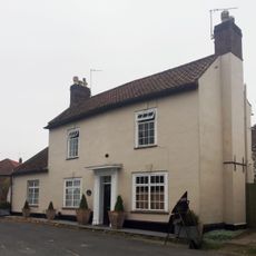
The Old Post House
98 m
The Priory
97 m
Meadow Farm House
1.4 km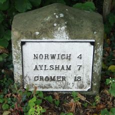
Milestone, Norwich Road, by No. 14
586 m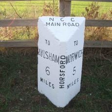
Milepost, c.130m N of road jct
2 km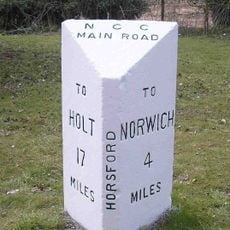
Milepost, 100m S of jct with Drayton Lane
2.1 km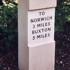
Milestone, Buxton Rd, 2yds S of jct with Quaker Lane
2.5 kmHeeft u deze plek bezocht? Tik op de sterren om een beoordeling te geven en uw ervaring of foto's te delen met de community! Probeer het nu! U kunt het op elk moment annuleren.
Ontdek verborgen schatten op elk avontuur!
Van karakteristieke kleine cafeetjes tot geheime uitzichtpunten – ontvlucht de drukte en vind plekken die echt bij jou passen. Onze app maakt het makkelijk: spraakzoekopdrachten, slimme filters, geoptimaliseerde routes en authentieke tips van reizigers wereldwijd. Download nu en beleef het avontuur op je smartphone!

Een nieuwe benadering van toeristische ontdekking❞
— Le Figaro
Alle plekken die de moeite waard zijn om te ontdekken❞
— France Info
Een uitstapje op maat in slechts een paar klikken❞
— 20 Minutes