
Cross in churchyard of Church of St. Peter, Grade II listed building in Monmouth. About 1500m north-east of Monmouth approached from the roundabout at the north entrance to the town
Locatie: Monmouth
Hoogte boven de zeespiegel: 16 m
GPS-coördinaten: 51.81858,-2.69854
Laatste update: 6 maart 2025 om 21:53

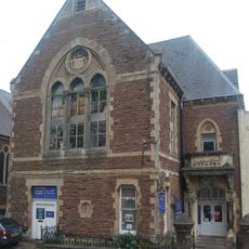
1 Monk Street
1.1 km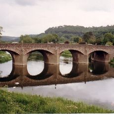
Wye Bridge, Monmouth
1.1 km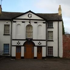
Masonic Hall
1.1 km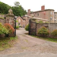
Newton Court
840 m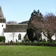
St Peter's Church
19 m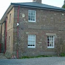
Monmouth County Gaol
1.1 km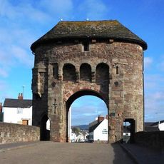
Monmouth town walls and defences
1 km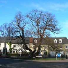
The Indian Bean Tree, St James Square, Monmouth
1.1 km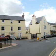
33 Whitecross Street
1.1 km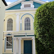
Monmouth Methodist Church
1.1 km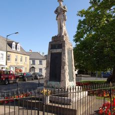
Monmouth War Memorial
1.1 km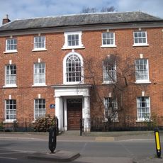
St James House
1.1 km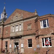
The Rolls Hall
1.1 km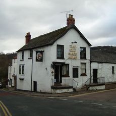
Old Nag's Head
1 km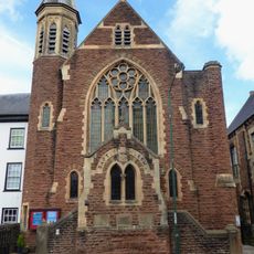
Monmouth Baptist Church
1.1 km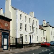
The Grange
1.1 km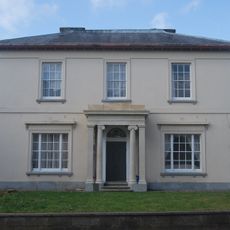
Oak House
1.1 km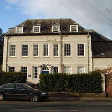
Chapel House
1.1 km
War memorials in Monmouth
1 km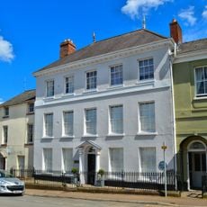
The Dispensary
1 km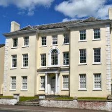
Royal George Hotel
1.1 km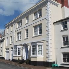
North Parade House
1 km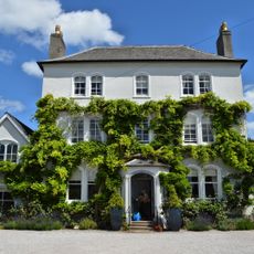
Parade House, Monmouth
1.1 km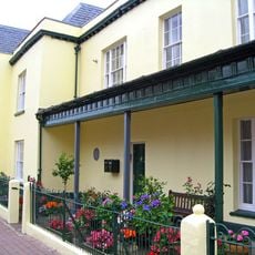
Judges' Lodgings, Monmouth
1.1 km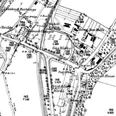
Monmouth Gasworks
1 km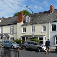
14 St. James's Street, Monmouth
1 km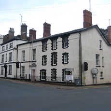
Ty-mawr
1.1 km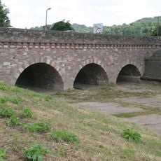
Flood arches in eastern approach causeway to Wye Bridge
1.1 kmBeoordelingen
Heeft u deze plek bezocht? Tik op de sterren om een beoordeling te geven en uw ervaring of foto's te delen met de community! Probeer het nu! U kunt het op elk moment annuleren.
Ontdek verborgen schatten op elk avontuur!
Van karakteristieke kleine cafeetjes tot geheime uitzichtpunten – ontvlucht de drukte en vind plekken die echt bij jou passen. Onze app maakt het makkelijk: spraakzoekopdrachten, slimme filters, geoptimaliseerde routes en authentieke tips van reizigers wereldwijd. Download nu en beleef het avontuur op je smartphone!

Een nieuwe benadering van toeristische ontdekking❞
— Le Figaro
Alle plekken die de moeite waard zijn om te ontdekken❞
— France Info
Een uitstapje op maat in slechts een paar klikken❞
— 20 Minutes