
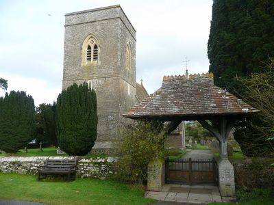
Lychgate in churchyard of St Gastyn, Grade II listed building in Powys. Forming the W entrance to the churchyard and adjacent to The Old School
Locatie: Llangors
Hoogte boven de zeespiegel: 157 m
GPS-coördinaten: 51.92675,-3.26227
Laatste update: 9 maart 2025 om 15:11
Fforest Fawr Geopark
4.2 km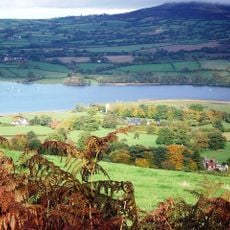
Treberfydd
702 m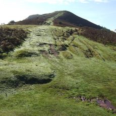
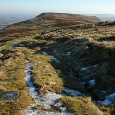
Mynydd Llangorse
2.6 km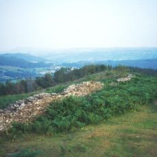
Allt yr Esgair
1.9 km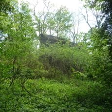
Blaenllyfni Castle
3.4 km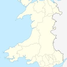
Caeau Ty-mawr
1.3 km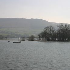
Llangors Crannog
1.1 km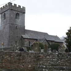
Church of St Michael and All Angels
3 km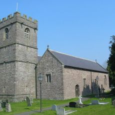
Church Of St Paulinus
1.5 km
Church Of St Mary
4 km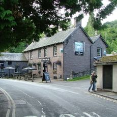
White Hart Inn
4 km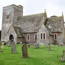
St Gastyn's Church
20 m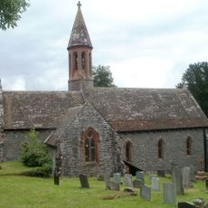
St Ffraed's Church
2.8 km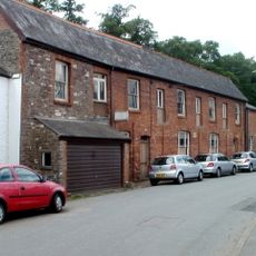
Former skittle alley and tea-room
4 km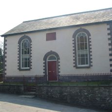
Penuel Baptist Chapel
1.5 km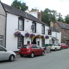
The Star Inn
4 km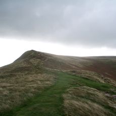
Mynydd Llangorse
3.2 km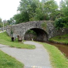
White Hart Bridge
4 km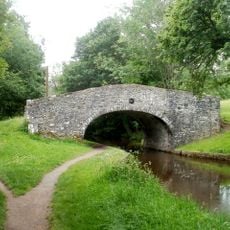
Penawr Bridge
3.6 km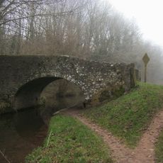
Castle Bridge
3.9 km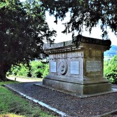
Gwynne Holford Monument in the churchyard to SW of Church of St Ffraed
2.8 km
Tal-y-llyn Railway Tunnel
2.9 km
Bwlch War Memorial
4 km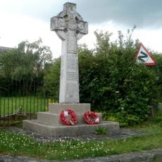
War memorial at Lower Cross Oak
3.5 km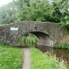
Cross Oak Bridge
3.5 km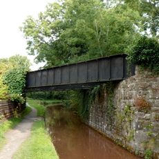
Pair of railway bridges over road and canal at Talybont
4 km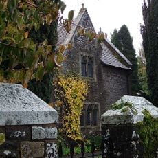
Old School House (also Known As Yr Hen Ysgol)
28 m
Benciah Independent Chapel
3.7 kmHeeft u deze plek bezocht? Tik op de sterren om een beoordeling te geven en uw ervaring of foto's te delen met de community! Probeer het nu! U kunt het op elk moment annuleren.
Ontdek verborgen schatten op elk avontuur!
Van karakteristieke kleine cafeetjes tot geheime uitzichtpunten – ontvlucht de drukte en vind plekken die echt bij jou passen. Onze app maakt het makkelijk: spraakzoekopdrachten, slimme filters, geoptimaliseerde routes en authentieke tips van reizigers wereldwijd. Download nu en beleef het avontuur op je smartphone!

Een nieuwe benadering van toeristische ontdekking❞
— Le Figaro
Alle plekken die de moeite waard zijn om te ontdekken❞
— France Info
Een uitstapje op maat in slechts een paar klikken❞
— 20 Minutes