
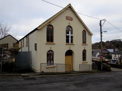
Upper Trosnant Baptist Church, kerkgebouw in Verenigd Koninkrijk
Locatie: Pontymoile
Hoogte boven de zeespiegel: 143,2 m
GPS-coördinaten: 51.69996,-3.03920
Laatste update: 1 april 2025 om 14:48
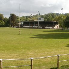
Pontypool Park
365 m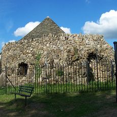
Shell Grotto
1.2 km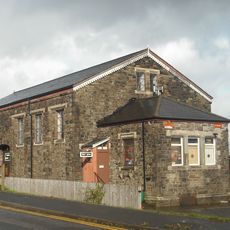
Griffithstown Railway Museum
1 km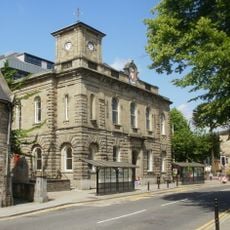
Town Hall
166 m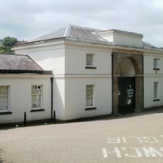
Torfaen Museum
417 m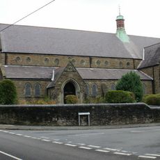
St Hilda's Church, Griffithstown
1.9 km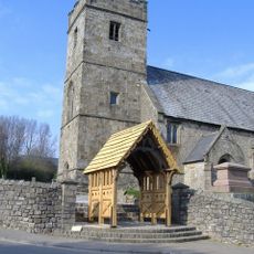
Church of St. Cadoc
1.4 km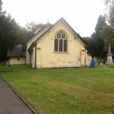
Church Of St Michael And All Angels
1.9 km
St. Alban's R.C. Church
737 m
Penygarn Baptist Chapel
933 m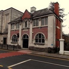
Pontypool Library
191 m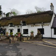
The Horse and Jockey P H
2 km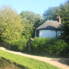
Junction House at Pontymoile Canal Basin, Monmouthshire and Brecon Canal
1.1 km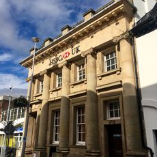
Midland Bank
379 m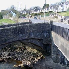
Pont Newynydd
1.4 km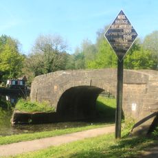
Bridge 53 at Pontymoile Basin, Monmouthshire and Brecon Canal
1 km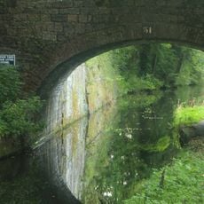
Canal Bridge at Coed-y-Gric
1.2 km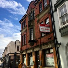
The George
313 m
The Greyhound PH
323 m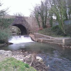
Aqueduct over Afon Lwyd, Monmouthshire and Brecon Canal
1.2 km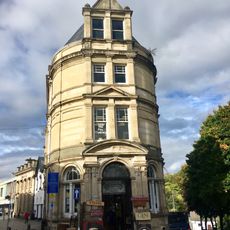
Barclay's Bank
346 m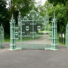
Entrance Gates To Pontypool Park.
791 m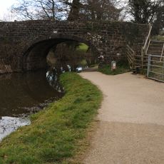
Bridge 56, Monmouthshire and Brecon Canal
1.7 km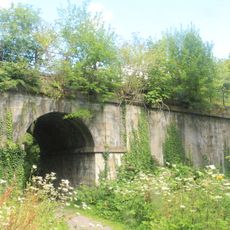
Old railway bridge at Coed-y-Gric
1.2 km
Manchester House, including Mayberry Pharmacy and the Good Job Club
319 m
Crane Street Baptist Chapel
333 m
Old Market House (Second Thoughts)
368 m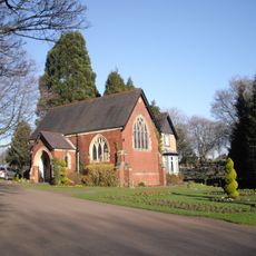
Panteg Cemetery Chapel
1.3 kmHeeft u deze plek bezocht? Tik op de sterren om een beoordeling te geven en uw ervaring of foto's te delen met de community! Probeer het nu! U kunt het op elk moment annuleren.
Ontdek verborgen schatten op elk avontuur!
Van karakteristieke kleine cafeetjes tot geheime uitzichtpunten – ontvlucht de drukte en vind plekken die echt bij jou passen. Onze app maakt het makkelijk: spraakzoekopdrachten, slimme filters, geoptimaliseerde routes en authentieke tips van reizigers wereldwijd. Download nu en beleef het avontuur op je smartphone!

Een nieuwe benadering van toeristische ontdekking❞
— Le Figaro
Alle plekken die de moeite waard zijn om te ontdekken❞
— France Info
Een uitstapje op maat in slechts een paar klikken❞
— 20 Minutes