
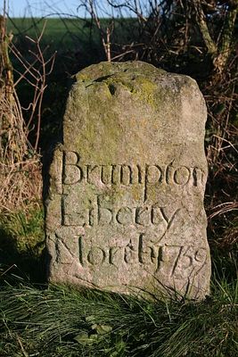
'Brumpton Liberty North' Boundary Stone, boundary marker in Brompton, Hambleton, North Yorkshire, UK
Locatie: Brompton
Ontstaan: 18e eeuw
GPS-coördinaten: 54.35181,-1.39865
Laatste update: 4 maart 2025 om 21:55
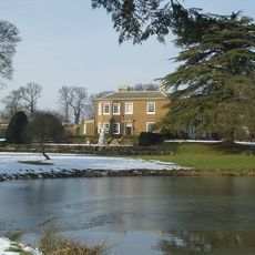
The Manor House
2.4 km
County Hall
3.4 km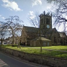
Church of All Saints, Northallerton
2.7 km
Town Hall And Nos 1 To 7 The Town Hall
2.6 km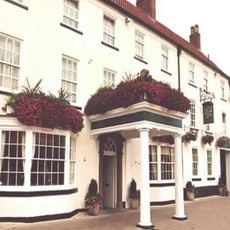
Golden Lion
2.7 km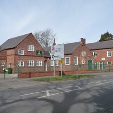
Thirsk Road drill hall, Northallerton
2.9 km
Sigston Castle:
2.5 km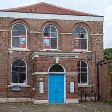
Zion United Reformed Church
2.8 km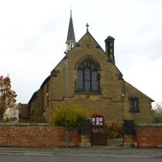
Church of St James the Great
3.8 km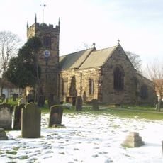
Church of St Thomas
2.1 km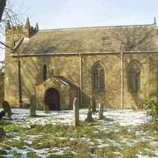
Church of St Lawrence, Kirby Sigston
2.6 km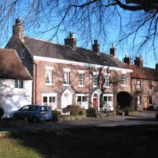
19 and 20, Church View
2.1 km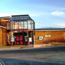
Forum Cinema
2.4 km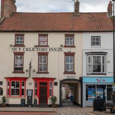
Harewood Arms Inn
2.7 km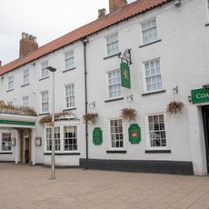
The Golden Lion
2.7 km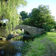
Packhorse Bridge
3.8 km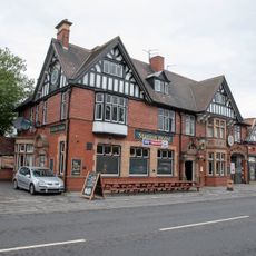
Railway Hotel
3.4 km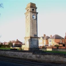
Romanby War Memorial Clock Tower
3.8 km
Lyric Cinema
2.7 km
Northallerton Library
2.7 km
145, High Street
2.8 km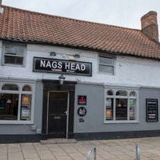
The Nags Head
2.8 km
2 And 3, East Road
2.5 km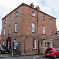
Register House
2.6 km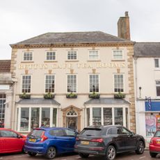
189A, High Street
2.7 km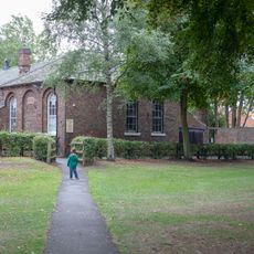
Zion Sunday School
2.8 km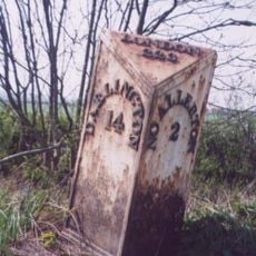
Milestone, in open country, tree on each side of road
3.6 km
Milestone, entrance to Mile House Business Park
3.2 kmHeeft u deze plek bezocht? Tik op de sterren om een beoordeling te geven en uw ervaring of foto's te delen met de community! Probeer het nu! U kunt het op elk moment annuleren.
Ontdek verborgen schatten op elk avontuur!
Van karakteristieke kleine cafeetjes tot geheime uitzichtpunten – ontvlucht de drukte en vind plekken die echt bij jou passen. Onze app maakt het makkelijk: spraakzoekopdrachten, slimme filters, geoptimaliseerde routes en authentieke tips van reizigers wereldwijd. Download nu en beleef het avontuur op je smartphone!

Een nieuwe benadering van toeristische ontdekking❞
— Le Figaro
Alle plekken die de moeite waard zijn om te ontdekken❞
— France Info
Een uitstapje op maat in slechts een paar klikken❞
— 20 Minutes