
Former Prebyterian Chapel, chapel in Newcastle upon Tyne, Tyne and Wear, UK
Locatie: Newcastle upon Tyne
GPS-coördinaten: 54.96822,-1.61272
Laatste update: 7 april 2025 om 15:07
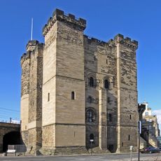
Newcastle upon Tyne Castle
158 m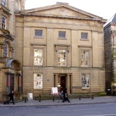
Literary and Philosophical Society of Newcastle upon Tyne
143 m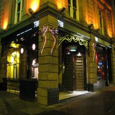
Tup Tup Palace
190 m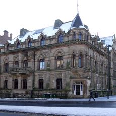
North of England Institute of Mining and Mechanical Engineers
161 m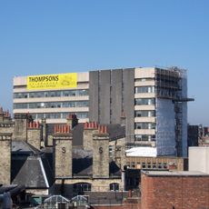
Westgate House, Newcastle upon Tyne
169 m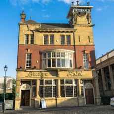
Bridge Hotel
164 m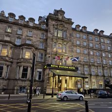
Royal Station Hotel
196 m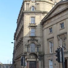
Bolbec Hall
140 m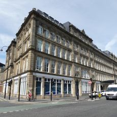
St Nicholas' Buildings
137 m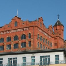
Turnbull's Warehouse
69 m
Irving House
125 m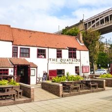
35, Close
193 m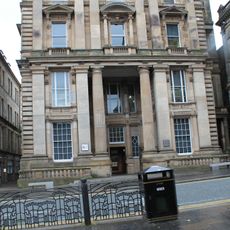
General Post Office And Area Balustrade
171 m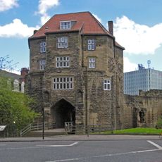
The Black Gate
172 m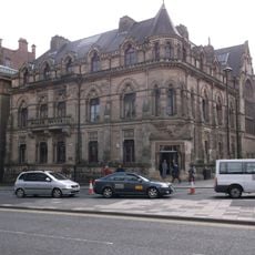
Neville Hall And Wood Memorial Hall
164 m
Town Wall North Of The Close And Breakneck Stairs
171 m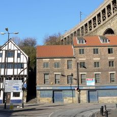
28 And 30, Close
164 m
Sun Insurance Buildings
169 m
Clavering House
41 m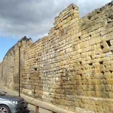
Newcastle upon Tyne town defences: section of curtain wall and town ditch between Forth Street and Hanover Street
98 m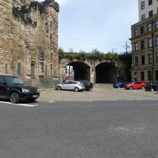
Castle Keep Viaduct
180 m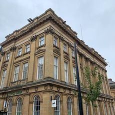
Lloyds Bank
180 m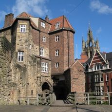
The Barbican Walls Between North Gate Of Castle And Black Gate
180 m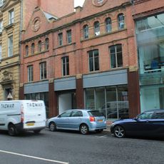
Former Hertz Rent A Car Building
115 m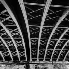
Railway Arch South West Of Black Gate
137 m
32, Close
150 m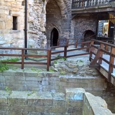
Heron Pit Prison, Drawbridge Pit And Other Under-buildings In Barbican
186 m
7, Collingwood Street
192 mBeoordelingen
Heeft u deze plek bezocht? Tik op de sterren om een beoordeling te geven en uw ervaring of foto's te delen met de community! Probeer het nu! U kunt het op elk moment annuleren.
Ontdek verborgen schatten op elk avontuur!
Van karakteristieke kleine cafeetjes tot geheime uitzichtpunten – ontvlucht de drukte en vind plekken die echt bij jou passen. Onze app maakt het makkelijk: spraakzoekopdrachten, slimme filters, geoptimaliseerde routes en authentieke tips van reizigers wereldwijd. Download nu en beleef het avontuur op je smartphone!

Een nieuwe benadering van toeristische ontdekking❞
— Le Figaro
Alle plekken die de moeite waard zijn om te ontdekken❞
— France Info
Een uitstapje op maat in slechts een paar klikken❞
— 20 Minutes