7-21, The Grove, building in Newcastle upon Tyne, Tyne and Wear, UK
Locatie: Newcastle upon Tyne
GPS-coördinaten: 55.00262,-1.61750
Laatste update: 16 november 2025 om 08:41
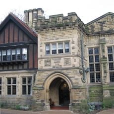
Jesmond Dene House
952 m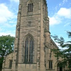
Church of All Saints
473 m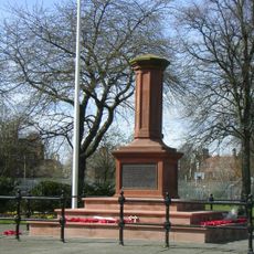
Gosforth Central Park
377 m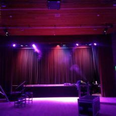
Gosforth Civic Theatre
897 m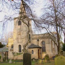
Church of St Nicholas
679 m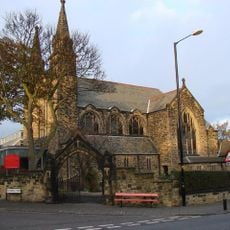
Roman Catholic Church of St Charles, Attached Presbytery and Boundary Wall to South and South West
545 m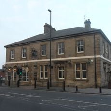
The County Hotel
196 m
Town Moor Boundary Stone Opposite Number 73
691 m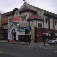
Globe Cinema
572 m
Gosforth War Memorial Pillar
328 m
1-4 Castle Farm Cottages
938 m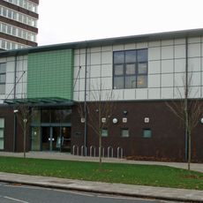
Gosforth Library
943 m
Racquet Court
809 m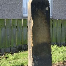
Main Dike Stone
798 m
2, The Drive
271 m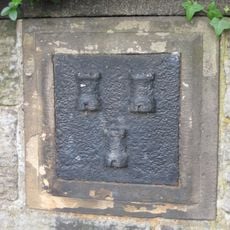
Boundary Mark In Wall At Junction With South Side Of Moorfield
666 m
23-33, The Grove
57 m
62-70, The Drive
532 m
38-52, High Street
128 m
Police Stables
939 m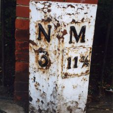
Milepost, Great North Road, by Gosforth Central Middle School field
935 m
Castle Farm Cottages Number 5 And Farm Building Attached
934 m
Flats With Projecting Walls And Steps And Garages
249 m
Farm Building West Of Castle Farmhouse
947 m
1 and 2, Roseworth Terrace
183 m
Trinity Church
379 m
32-36, High Street
113 m
Kunstwerk
258 mBeoordelingen
Heeft u deze plek bezocht? Tik op de sterren om een beoordeling te geven en uw ervaring of foto's te delen met de community! Probeer het nu! U kunt het op elk moment annuleren.
Ontdek verborgen schatten op elk avontuur!
Van karakteristieke kleine cafeetjes tot geheime uitzichtpunten – ontvlucht de drukte en vind plekken die echt bij jou passen. Onze app maakt het makkelijk: spraakzoekopdrachten, slimme filters, geoptimaliseerde routes en authentieke tips van reizigers wereldwijd. Download nu en beleef het avontuur op je smartphone!

Een nieuwe benadering van toeristische ontdekking❞
— Le Figaro
Alle plekken die de moeite waard zijn om te ontdekken❞
— France Info
Een uitstapje op maat in slechts een paar klikken❞
— 20 Minutes