
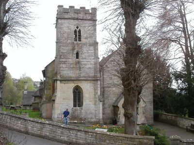
Church of St John the Baptist, kerkgebouw in Verenigd Koninkrijk
Locatie: Randwick and Westrip
GPS-coördinaten: 51.75874,-2.25137
Laatste update: 7 maart 2025 om 04:28
Stratford Park
2.2 km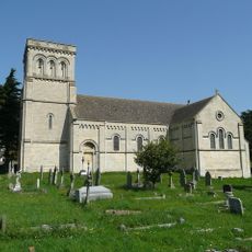
Church of St Paul
1.3 km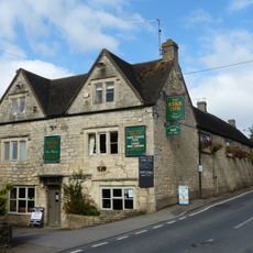
Star Inn
1.3 km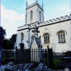
Church of St Matthew
1.8 km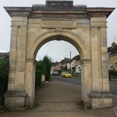
Archway, Formerly To Farm Hill Park
1.4 km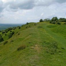
Haresfield Hill camp and Ring Hill earthworks
2.3 km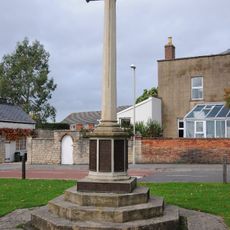
Stonehouse War Memorial
2.5 km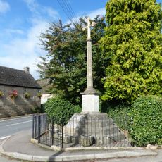
Whiteshill War Memorial
1.3 km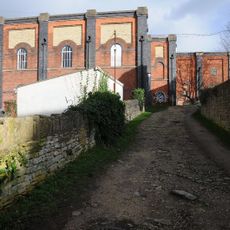
Lodgemoor Mills
2.3 km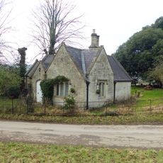
Lodge to Hawkwood College
2.5 km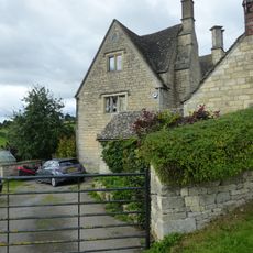
Stokenhill Farmhouse
1.8 km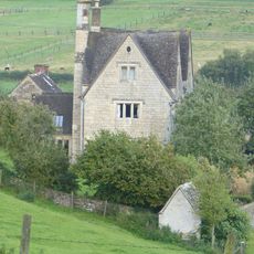
Privy approximately 30 metres west of Stokenhill Farmhouse
1.8 km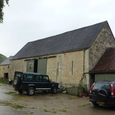
Barn approximately 10 metres south of Ruscombe Farmhouse
798 m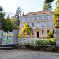
Gate screen approximately 18 metres south of Pitchcombe House
2.5 km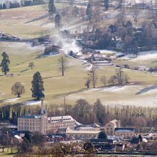
Ebley Mill
2.1 km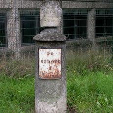
Sundial And Milepost
1.9 km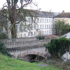
Lodgemoor Mills Bridge
2.4 km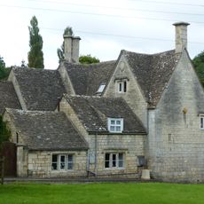
Rock Mill House
2.1 km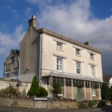
Nos 1 and 2 (Gannicox House) and No 3
2.2 km
Little Mill
2.4 km
23 And 25, Westward Road
1.9 km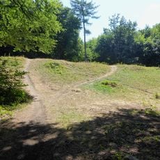
Randwick Hill long barrow, round barrows and dyke
303 m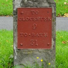
Milestone
2.5 km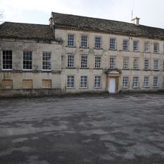
Lodgemoor Mills Office Block
2.3 km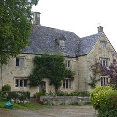
Ruscombe Farmhouse
784 m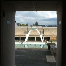
Stratford Park Diving Platform
2 km
Milestone, Dudbridge Road, Rodborough
2.5 km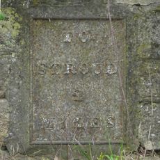
Milepost, The Tynings / Ebley
2.2 kmBeoordelingen
Heeft u deze plek bezocht? Tik op de sterren om een beoordeling te geven en uw ervaring of foto's te delen met de community! Probeer het nu! U kunt het op elk moment annuleren.
Ontdek verborgen schatten op elk avontuur!
Van karakteristieke kleine cafeetjes tot geheime uitzichtpunten – ontvlucht de drukte en vind plekken die echt bij jou passen. Onze app maakt het makkelijk: spraakzoekopdrachten, slimme filters, geoptimaliseerde routes en authentieke tips van reizigers wereldwijd. Download nu en beleef het avontuur op je smartphone!

Een nieuwe benadering van toeristische ontdekking❞
— Le Figaro
Alle plekken die de moeite waard zijn om te ontdekken❞
— France Info
Een uitstapje op maat in slechts een paar klikken❞
— 20 Minutes