
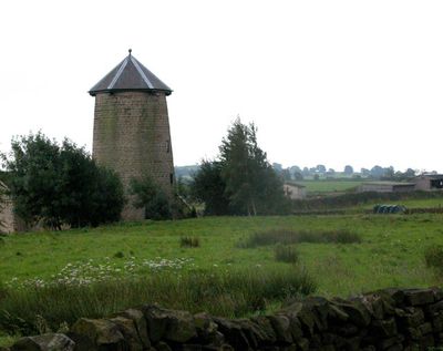
Spann Carr Windmill Tower, Grade II listed windmill in the parish of Ashover, North East Derbyshire, Derbyshire, UK
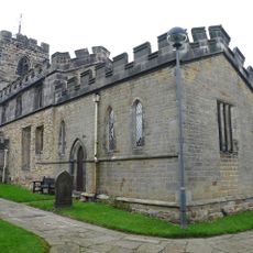
Church of All Saints
4.3 km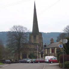
Church of All Saints
3 km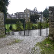
Overton Hall and attached outbuildings
3.9 km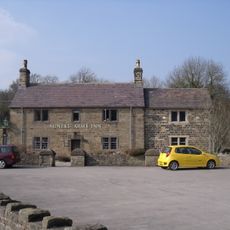
The Miners Arms Public House
4.5 km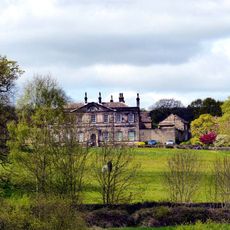
Stubbing Court
1.8 km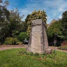
Holymoorside and Walton War Memorial
3.3 km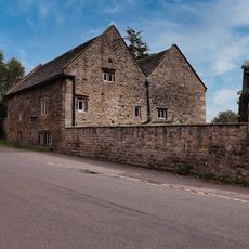
Hipper Hall
3.5 km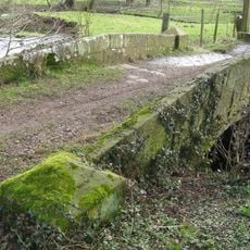
Footbridge
3.3 km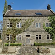
Holmgate House
4 km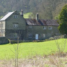
Ravensnest and attached farm buildings Ravensnest and The Beeches
4.5 km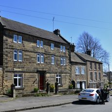
West Bank, attached wall and gate piers, and attached outbuilding to south
3.1 km
K6 telephone kiosk north of West Bank
3.1 km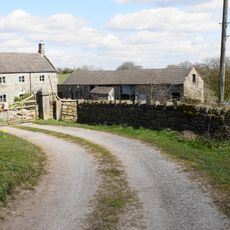
High Ashes Farmhouse
575 m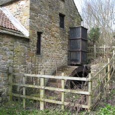
Fallgate Mill
4 km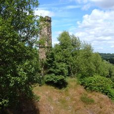
Chimney at Ravensnest
4.4 km
Milepost To West Of Junction With Chandler Hill Lane
4.4 km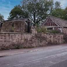
Outbuildings to south west of Hipper Hall
3.5 km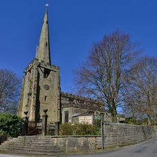
Gatepiers And Steps To The South Of Church Of All Saints
3.1 km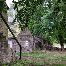
Outbuilding To The South East Of Hipper Hall
3.5 km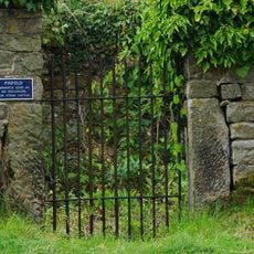
Pound to the south of the Miners Arms
4.6 km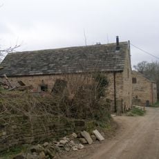
Cruck barn south east of Old Barn Farmhouse
4 km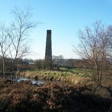
Stone Edge smelt mill at Moss Farm
1.1 km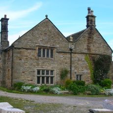
Manor House Farmhouse
1.9 km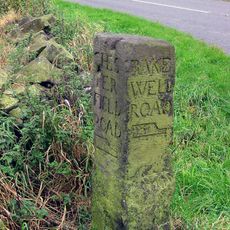
Guidestone, Darley Road, E of Gladwin's Mark at jct with Alicehead Road
2.6 km
Milepost, entrance to Darwin Forest Country Park, NE of Burnt Piece crossroads (Flash Dam)
4.3 km
Milestone, entrance to Darwin Forest Country Park, NE of Burnt Piece crossroads (Flash Dam)
4.3 km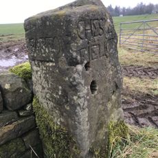
Guidestone, Screetham House Farm, Beetham Lane and Screetham Lane cross roads; opp. Farm
3.9 km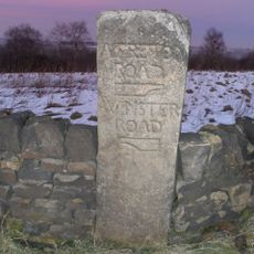
Guidestone, Jaggers Lane jct with Screetham Lane and Wirestone Lane
3.4 kmBeoordelingen
Heeft u deze plek bezocht? Tik op de sterren om een beoordeling te geven en uw ervaring of foto's te delen met de community! Probeer het nu! U kunt het op elk moment annuleren.
Ontdek verborgen schatten op elk avontuur!
Van karakteristieke kleine cafeetjes tot geheime uitzichtpunten – ontvlucht de drukte en vind plekken die echt bij jou passen. Onze app maakt het makkelijk: spraakzoekopdrachten, slimme filters, geoptimaliseerde routes en authentieke tips van reizigers wereldwijd. Download nu en beleef het avontuur op je smartphone!

Een nieuwe benadering van toeristische ontdekking❞
— Le Figaro
Alle plekken die de moeite waard zijn om te ontdekken❞
— France Info
Een uitstapje op maat in slechts een paar klikken❞
— 20 Minutes