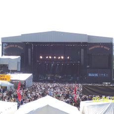
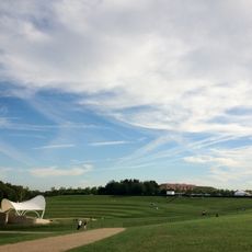
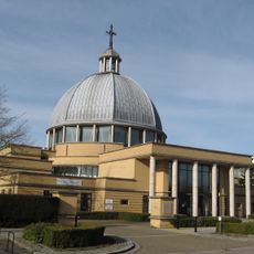
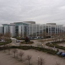
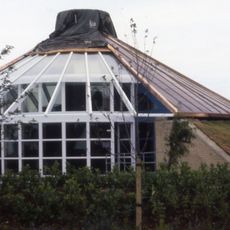
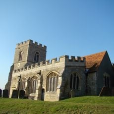
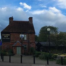
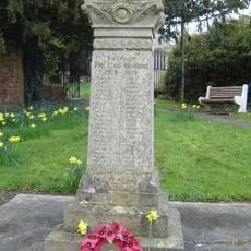
Loughton & Great Holm, civil parish in Milton Keynes, Buckinghamshire, England
Locatie: City of Milton Keynes
GPS-coördinaten: 52.02689,-0.77709
Laatste update: 6 maart 2025 om 03:28
National Bowl
1.5 km
Concrete Cows
3 km
The Point
2.2 km
Milton Keynes Theatre
2.7 km
Campbell Park
3.2 km
Church of Christ the Cornerstone
1.9 km
Quadrant:MK
1.2 km
Energy World
1 km
Oxley Woods
2.6 km
All Saints Church, Loughton
719 m
Church of the Servant King, Furzton
2.1 km
St. Mary's Church, Shenley
959 m
Oxley Mead
3.2 km
Church of the Holy Cross, Two Mile Ash
1.9 km
Church of St Lawrence
2.4 km
Chapel To North Of Bradwell Abbey House
2.7 km
Christ the Vine
2.2 km
The Talbot Inn
693 m
Shenley War Memorial
936 m
Milton Keynes Central Library
2.2 km
Former Bus Station, Station Square, Milton Keynes
957 m
Octo
2 km
Denbigh Hall Railway Bridge
3 km
Shopping Building
2.4 km
Milestone, Watling Street; on brow of hill in open area, Two Mile Ash
2.6 km
Milestone, Watling Street; 100m W of roundabout with Standing Way, W of Redmoor
2.3 km
Milestone, Watling Street; Shenley Lodge, at jct with Kelvin Drive, N of Chaffron Way roundabout
810 m
Milestone, Watling Street; at jct with Old Bell Lane, N of Shenley Church End
999 mBeoordelingen
Heeft u deze plek bezocht? Tik op de sterren om een beoordeling te geven en uw ervaring of foto's te delen met de community! Probeer het nu! U kunt het op elk moment annuleren.
Ontdek verborgen schatten op elk avontuur!
Van karakteristieke kleine cafeetjes tot geheime uitzichtpunten – ontvlucht de drukte en vind plekken die echt bij jou passen. Onze app maakt het makkelijk: spraakzoekopdrachten, slimme filters, geoptimaliseerde routes en authentieke tips van reizigers wereldwijd. Download nu en beleef het avontuur op je smartphone!
Een nieuwe benadering van toeristische ontdekking❞
— Le Figaro
Alle plekken die de moeite waard zijn om te ontdekken❞
— France Info
Een uitstapje op maat in slechts een paar klikken❞
— 20 Minutes