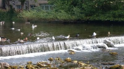
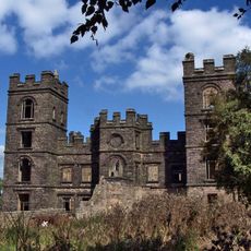
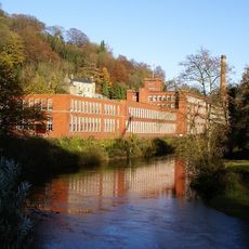
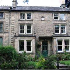
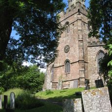
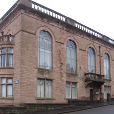
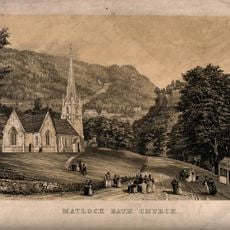
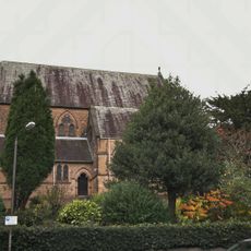
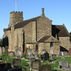
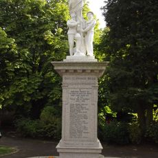
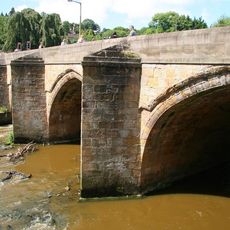
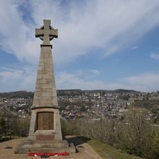
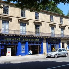
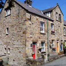
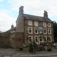
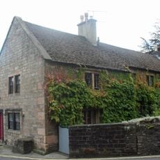
Matlock Town, civil parish in Derbyshire Dales, Derbyshire, England
Locatie: Derbyshire Dales
Grenst aan: Darley Dale, South Darley, Bonsall, Matlock Bath, Tansley, Ashover, Cromford, Dethick, Lea and Holloway
Adres: Matlock DE4, UK
GPS-coördinaten: 53.14196,-1.55058
Laatste update: 10 juni 2025 om 10:57
Riber Castle
1.7 km
Gulliver's Kingdom Resort
2.8 km
Masson Mill
3.3 km
County Hall
106 m
Matlock Cable Tramway
212 m
Grand Pavilion, Matlock Bath
2.6 km
St John the Baptist's Chapel, Matlock Bath
1.4 km
Peak District Mining Museum
2.6 km
Church of St Giles
868 m
Derwent House, Matlock
806 m
St James the Apostle's Church, Bonsall
3.3 km
Matlock Town Hall
355 m
Church of Holy Trinity
2.8 km
Church of All Saints
370 m
Holy Trinity Church, Tansley
2.2 km
Matlock Bath War Memorial
2.3 km
Matlock Bridge
587 m
Pic Tor War Memorial
905 m
64-70, North Parade
2.4 km
High Tor Hotel
1.5 km
Methodist Church
2.3 km
86-92, Church Street
897 m
Duke William Inn
966 m
King's Head Inn
930 m
Milestone, S of Derwent Footbridge, S of Matlock Bridge
1.1 km
Mile Stone
2.2 km
148, North Parade
2.5 km
Hodgkinson's Hotel
2.5 kmHeeft u deze plek bezocht? Tik op de sterren om een beoordeling te geven en uw ervaring of foto's te delen met de community! Probeer het nu! U kunt het op elk moment annuleren.
Ontdek verborgen schatten op elk avontuur!
Van karakteristieke kleine cafeetjes tot geheime uitzichtpunten – ontvlucht de drukte en vind plekken die echt bij jou passen. Onze app maakt het makkelijk: spraakzoekopdrachten, slimme filters, geoptimaliseerde routes en authentieke tips van reizigers wereldwijd. Download nu en beleef het avontuur op je smartphone!
Een nieuwe benadering van toeristische ontdekking❞
— Le Figaro
Alle plekken die de moeite waard zijn om te ontdekken❞
— France Info
Een uitstapje op maat in slechts een paar klikken❞
— 20 Minutes