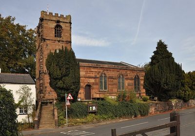
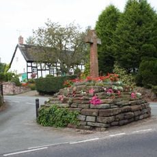
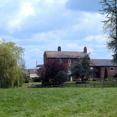
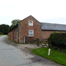
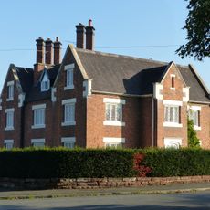
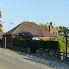
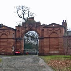
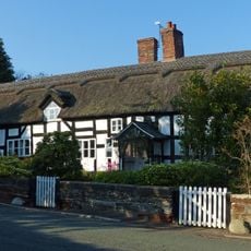
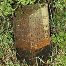
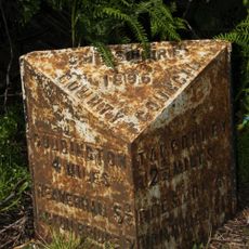
Little Budworth, dorp in Verenigd Koninkrijk
Locatie: Cheshire West and Chester
Grenst aan: Darnhall, Delamere and Oakmere, Whitegate and Marton, Winsford, Wettenhall, Rushton, Utkinton and Cotebrook
GPS-coördinaten: 53.18330,-2.60000
Laatste update: 26 maart 2025 om 00:18
Oulton Park Circuit
1.2 km
St Peter's Church, Little Budworth
161 m
St John's Church, Cotebrook
2.9 km
St Thomas' Church, Eaton
3.3 km
Monument to Captain John Francis Egerton
974 m
Cross base on south side of Longstone Lane 100m WNW of the entrance to Cobden Farm
2.9 km
Church Cottage
3.3 km
The Green
3.3 km
Oulton Smithy
1.5 km
The Village Well
3.2 km
Lower House Farmhouse
3 km
Silver Birches
3.3 km
Pinfold
696 m
Village Cross
3.3 km
Darley Hall Farmhouse
1.3 km
Farmbuilding c.50 yards to east of stable block
841 m
The Longstone, a part of a cross shaft on Longstone Lane at the junction with Shay's Lane
2.6 km
The Old Vicarage
315 m
Dodds Charity Alms Houses and garden wall
512 m
The Old School House
3.3 km
Baytree House
3.3 km
Well House Farmhouse
3.3 km
Eaton House
3.2 km
Eaton Smithy
3.2 km
Screen, lodges and gates at Oulton Park
869 m
Oak Tree Farmhouse
3.3 km
Milepost, Abbot's Moss, opp. Shay's Lane jct
3.1 km
Milepost, Heathfield
2.7 kmHeeft u deze plek bezocht? Tik op de sterren om een beoordeling te geven en uw ervaring of foto's te delen met de community! Probeer het nu! U kunt het op elk moment annuleren.
Ontdek verborgen schatten op elk avontuur!
Van karakteristieke kleine cafeetjes tot geheime uitzichtpunten – ontvlucht de drukte en vind plekken die echt bij jou passen. Onze app maakt het makkelijk: spraakzoekopdrachten, slimme filters, geoptimaliseerde routes en authentieke tips van reizigers wereldwijd. Download nu en beleef het avontuur op je smartphone!
Een nieuwe benadering van toeristische ontdekking❞
— Le Figaro
Alle plekken die de moeite waard zijn om te ontdekken❞
— France Info
Een uitstapje op maat in slechts een paar klikken❞
— 20 Minutes