
Lord's Park, Grade II listed farmhouse near Llansteffan. At the S termination of a long private access road leading roughly S from road some 1.5 km W of Llansteffan
Locatie: Llansteffan
Hoogte boven de zeespiegel: 77,8 m
GPS-coördinaten: 51.76146,-4.40978
Laatste update: 3 maart 2025 om 07:18

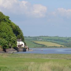
Dylan Thomas Boathouse
3.4 km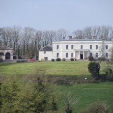
Plas Llanstephan
1.4 km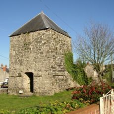
Hen Gapel
2.8 km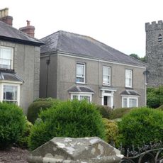
Park Villa
1.5 km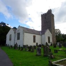
Church of St Ystyffan
1.6 km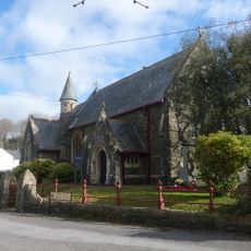
Church of St Thomas
3 km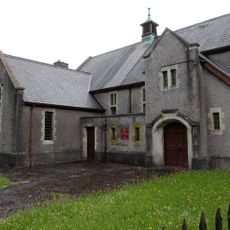
Bethania Welsh Presbyterian Church
3.1 km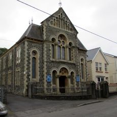
Salem Baptist Chapel
3.1 km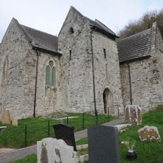
Church of St Ishmael
2.8 km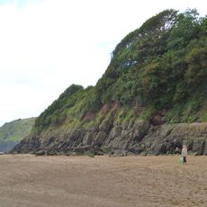
Llanstephan Cliffs
1.6 km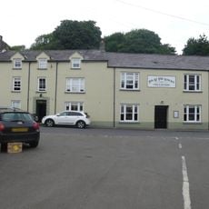
The Sticks Hotel
1.6 km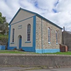
Bethany Welsh Baptist Church
1.9 km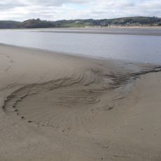
Ferryside Beach
2.8 km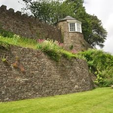
Gazebo in grounds of Laugharne Castle
3.7 km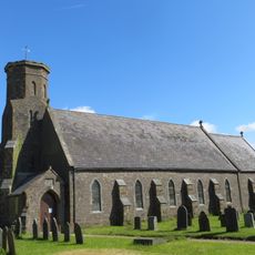
Holy Trinity Church
2.7 km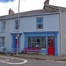
The Stores
1.6 km
Wall and gatepiers to stable court at Y Plas
1.3 km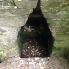
St Anthony's Well
835 m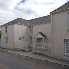
Nolands, including forecourt railings.
1.7 km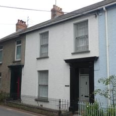
Cartref
1.6 km
Cyncoed, including area railings
1.6 km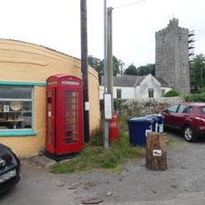
Telephone call-box outside the Old Pound
1.6 km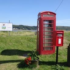
Telephone Call-box
1.7 km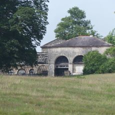
Coach house and stable range at Y Plas
1.3 km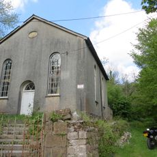
Bethel Welsh Independent Chapel
1.9 km
Plas-y-Coed
1.5 km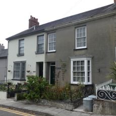
Osbourne House, including area railings
1.6 km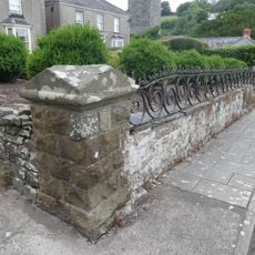
Railings and area walls at Plas-y-Coed and Park Villa
1.6 kmHeeft u deze plek bezocht? Tik op de sterren om een beoordeling te geven en uw ervaring of foto's te delen met de community! Probeer het nu! U kunt het op elk moment annuleren.
Ontdek verborgen schatten op elk avontuur!
Van karakteristieke kleine cafeetjes tot geheime uitzichtpunten – ontvlucht de drukte en vind plekken die echt bij jou passen. Onze app maakt het makkelijk: spraakzoekopdrachten, slimme filters, geoptimaliseerde routes en authentieke tips van reizigers wereldwijd. Download nu en beleef het avontuur op je smartphone!

Een nieuwe benadering van toeristische ontdekking❞
— Le Figaro
Alle plekken die de moeite waard zijn om te ontdekken❞
— France Info
Een uitstapje op maat in slechts een paar klikken❞
— 20 Minutes