
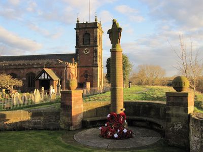
War Memorial, Grade II listed building in Wrexham County Borough. Situated near the end of High Street adjaoining the W end of the churchyard wall
Locatie: Bangor-on-Dee
Maker: Herbert Tyson Smith
Hoogte boven de zeespiegel: 15,4 m
GPS-coördinaten: 53.00275,-2.91298
Laatste update: 21 maart 2025 om 11:24
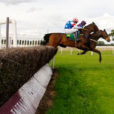
Bangor-on-Dee racecourse
1.3 km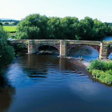
Bangor Bridge
45 m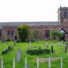
St Dunawd's Church
61 m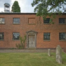
St John's Church, Threapwood
5.2 km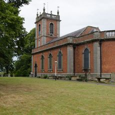
St Deiniol's Church
3.2 km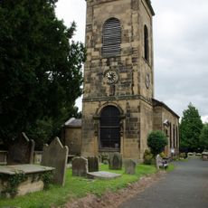
Church Of SS Marcella and Deiniol, Marchwiel
3.8 km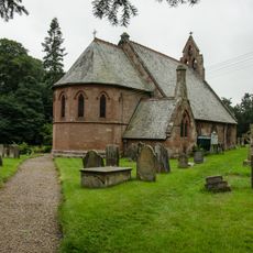
Church of St Hilary
5.2 km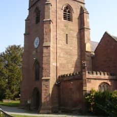
St Mary's Church
3.9 km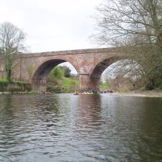
Overton Bridge
4.4 km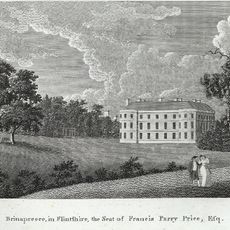
Bryn y Pys Hall
3.4 km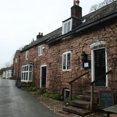
The Boat
5.3 km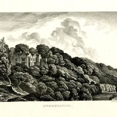
Gwernheylod
2.8 km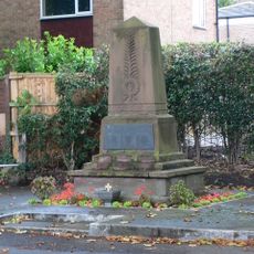
Overton-on-Dee War Memorial, High Street (W Side0
3.9 km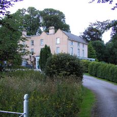
Llwyn Onn Hall
4.9 km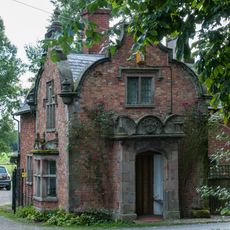
Emral Hall Lodge
2.7 km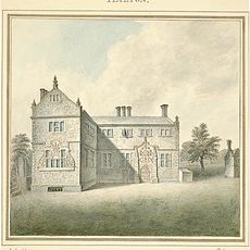
Halghton Hall
4.1 km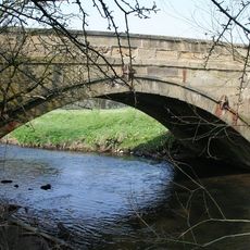
Pickhill Bridge
2.9 km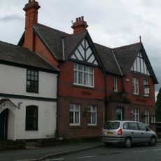
Overton Library
4 km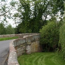
Sarn Bridge
5.2 km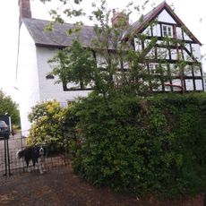
Pursa Farmhouse
5.7 km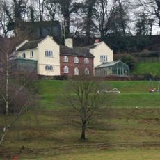
Plas Pen-Y-Bryn,Eyton Hall Lane
5.7 km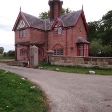
Broughton Hall Lodge
4.3 km
Pandy Holding
4.2 km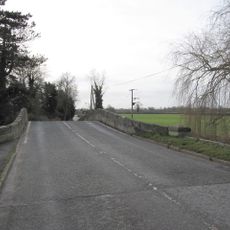
Worthenbury Bridge
3.1 km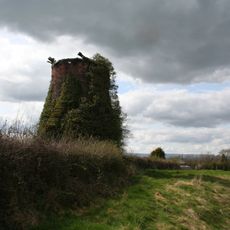
Windmill 130 yards east Of Mill House
5.4 km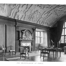
Emral Hall
3.4 km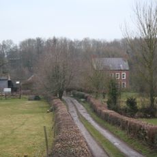
The Groves (also Known As Grove Farm), Erbistock
4.5 km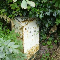
Milepost, W of The Bank
5.5 kmHeeft u deze plek bezocht? Tik op de sterren om een beoordeling te geven en uw ervaring of foto's te delen met de community! Probeer het nu! U kunt het op elk moment annuleren.
Ontdek verborgen schatten op elk avontuur!
Van karakteristieke kleine cafeetjes tot geheime uitzichtpunten – ontvlucht de drukte en vind plekken die echt bij jou passen. Onze app maakt het makkelijk: spraakzoekopdrachten, slimme filters, geoptimaliseerde routes en authentieke tips van reizigers wereldwijd. Download nu en beleef het avontuur op je smartphone!

Een nieuwe benadering van toeristische ontdekking❞
— Le Figaro
Alle plekken die de moeite waard zijn om te ontdekken❞
— France Info
Een uitstapje op maat in slechts een paar klikken❞
— 20 Minutes