
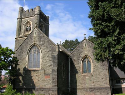
Church of Christ Church, kerkgebouw in Verenigd Koninkrijk
Locatie: Radyr and Morganstown
Ontstaan: mei 1904
Hoogte boven de zeespiegel: 39,9 m
GPS-coördinaten: 51.51375,-3.25134
Laatste update: 1 april 2025 om 00:43
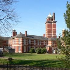
Whitchurch Hospital
1.4 km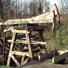
Melingriffith Water Pump
954 m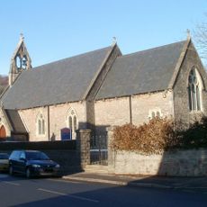
Church of St Michael and All Angels
2 km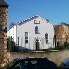
Ainon Baptist Church
2 km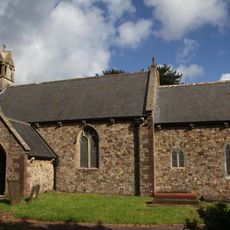
Church of St. John the Baptist
1.3 km
Radyr Chain
1.5 km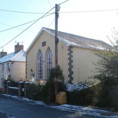
Hermon Calvinistic Methodist Chapel
1.9 km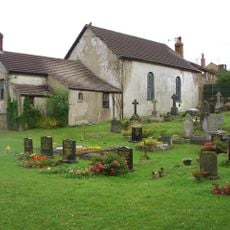
Bethel Calvinistic Methodist Chapel
1.5 km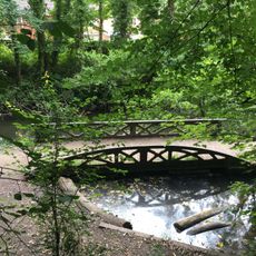
Towpath Bridge of Glamorganshire Canal about 50m north of junction with Forest Farm Road
1.1 km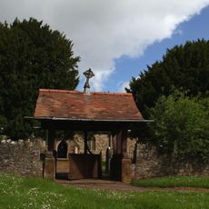
Churchyard Walls of Church of St. John the Baptist
1.3 km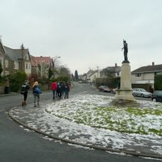
Radyr War Memorial
95 m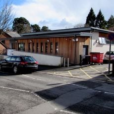
Radyr Library
672 m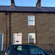
10, Merthyr Road, Tongwynlais, Cardiff
2.1 km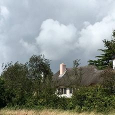
The Thatch
675 m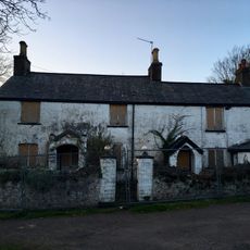
Ivy House Farmhouse
1.9 km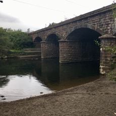
Afon Taff Viaduct
859 m
14, Merthyr Road, Tongwynlais, Cardiff
2.1 km
12, Merthyr Road, Tongwynlais, Cardiff
2.1 km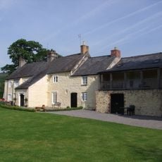
Gelynis farmhouse and attached cottage and stable
1.5 km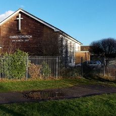
Fairwater Christ Church
2 km
8, Merthyr Road, Tongwynlais, Cardiff
2.1 km
Gelynis Farm-range
1.5 km
Ty-Mawr
1.1 km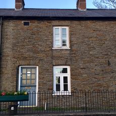
6, Merthyr Road, Tongwynlais, Cardiff
2.1 km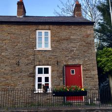
4, Merthyr Road, Tongwynlais, Cardiff
2.1 km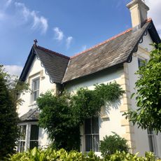
The Laurels
2.1 km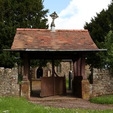
Lychgate of Church of St. John the Baptist
1.3 km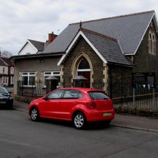
Christchurch Chapel
1.8 kmHeeft u deze plek bezocht? Tik op de sterren om een beoordeling te geven en uw ervaring of foto's te delen met de community! Probeer het nu! U kunt het op elk moment annuleren.
Ontdek verborgen schatten op elk avontuur!
Van karakteristieke kleine cafeetjes tot geheime uitzichtpunten – ontvlucht de drukte en vind plekken die echt bij jou passen. Onze app maakt het makkelijk: spraakzoekopdrachten, slimme filters, geoptimaliseerde routes en authentieke tips van reizigers wereldwijd. Download nu en beleef het avontuur op je smartphone!

Een nieuwe benadering van toeristische ontdekking❞
— Le Figaro
Alle plekken die de moeite waard zijn om te ontdekken❞
— France Info
Een uitstapje op maat in slechts een paar klikken❞
— 20 Minutes