
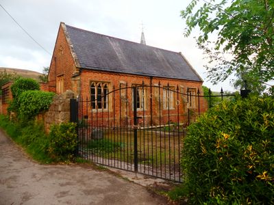
The Old School and Schoolhouse, At the east fringe of Bodfari Village, reached by a track to the north of the B5429, and occupying a terraced site on the hillside with extensive views south. Stone wall at north, with two gateways. Post-1871 latrines at north east corner of site
Locatie: Bodfari
Hoogte boven de zeespiegel: 53,2 m
GPS-coördinaten: 53.21996,-3.35778
Laatste update: 20 maart 2025 om 06:53
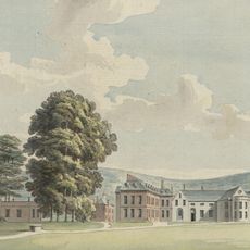
Lleweni Hall
2 km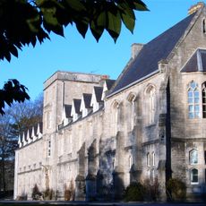
St Beuno’s Ignatian Spirituality Centre
4.4 km
Penycloddiau
3.9 km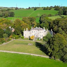
Brynbella
2.7 km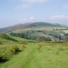
Moel y Parc
2.5 km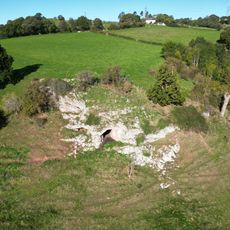
Ffynnon Beuno and Cae Gwyn Caves
2.5 km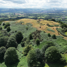
Moel y Gaer, Bodfari
731 m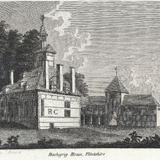
Bachegraig
2.3 km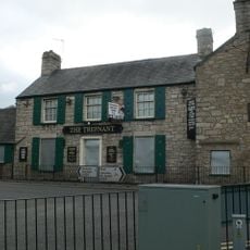
The Trefnant Inn
4.3 km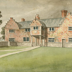
Plas Clough
4.3 km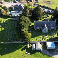
Church of Corpus Christi (Holy Trinity)
3.2 km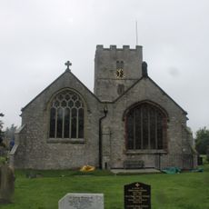
Church Of St Michael
4.3 km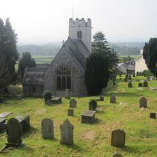
Church of St Stephen
190 m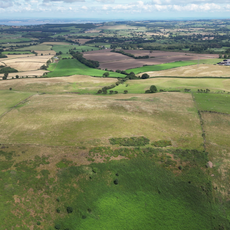
Moel Maenefa
4.4 km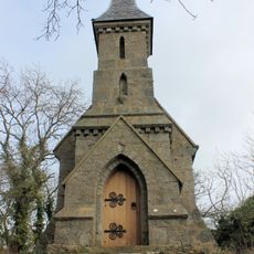
The Rock Chapel
3.9 km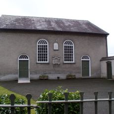
Capel Y Dyffryn
4.4 km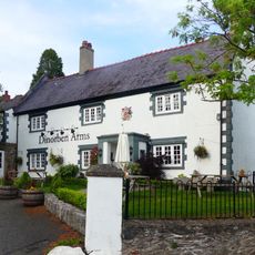
Dinorben Arms Public House
199 m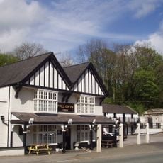
Pwllgwyn Hotel
3.6 km
Glan-y-wern Hall
4.1 km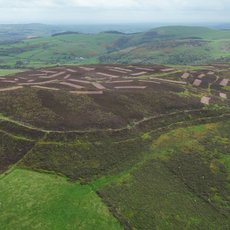
Penycloddiau
3.9 km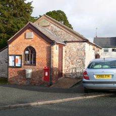
Old School (now Village Hall)
3.2 km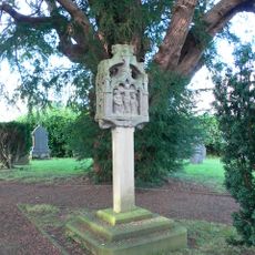
Tremeirchion Cross
4.4 km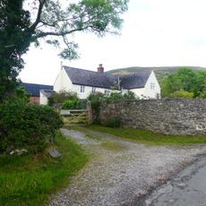
Aberwheeler House
518 m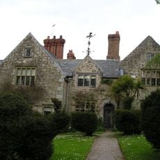
Henblas Hall
2.1 km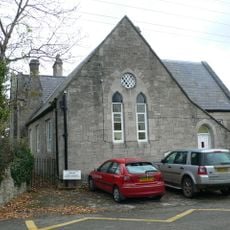
Trefnant School
4.4 km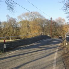
Pont Llannerch
4 km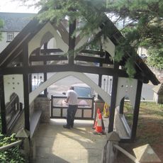
Lychgate and steps to St Stephen's Church
206 m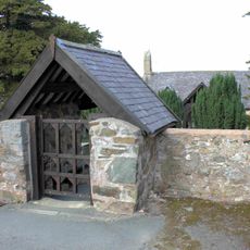
Lychgate of Tremeirchion Parish Church
3.2 kmHeeft u deze plek bezocht? Tik op de sterren om een beoordeling te geven en uw ervaring of foto's te delen met de community! Probeer het nu! U kunt het op elk moment annuleren.
Ontdek verborgen schatten op elk avontuur!
Van karakteristieke kleine cafeetjes tot geheime uitzichtpunten – ontvlucht de drukte en vind plekken die echt bij jou passen. Onze app maakt het makkelijk: spraakzoekopdrachten, slimme filters, geoptimaliseerde routes en authentieke tips van reizigers wereldwijd. Download nu en beleef het avontuur op je smartphone!

Een nieuwe benadering van toeristische ontdekking❞
— Le Figaro
Alle plekken die de moeite waard zijn om te ontdekken❞
— France Info
Een uitstapje op maat in slechts een paar klikken❞
— 20 Minutes