
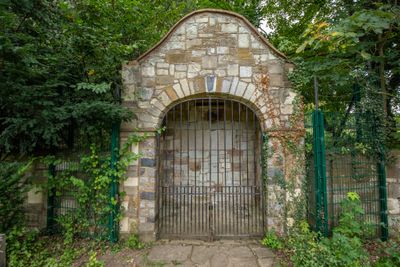
Stone Garden Shelter At High Elms Country Park, architectural structure in Bromley, Greater London, UK
Locatie: London Borough of Bromley
GPS-coördinaten: 51.34968,0.07480
Laatste update: 11 maart 2025 om 00:28

Down House
2.5 km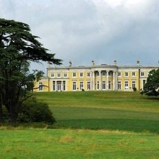
Holwood House
2 km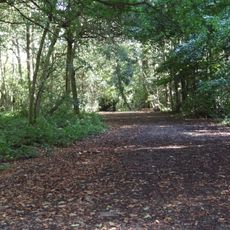
High Elms Country Park
148 m
Crofton Roman Villa
2.7 km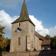
St Mary's Church, Downe
2.1 km
Downe Bank
2.3 km
Home of Charles Darwin - Down House
2.5 km
Keston Parish Church
2.7 km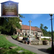
Church of St Giles the Abbot
932 m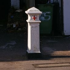
Coal Taxpost Outside Baptist Church
1 km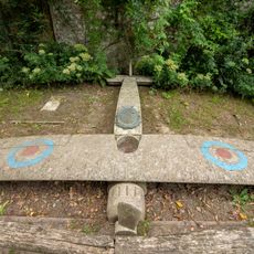
Captain Eric Lubbock Memorial
260 m
St Nicholas
1.8 km
Ice Well
241 m
Eton Fives Court
189 m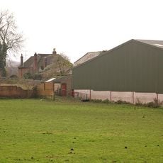
Chelsfield Hall Farmhouse
1.1 km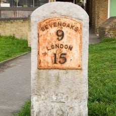
Milestone At Junction Of Sevenoaks Road With Farnborough Hill
1.2 km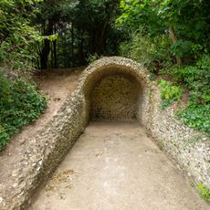
Grotto At High Elms Country Park
60 m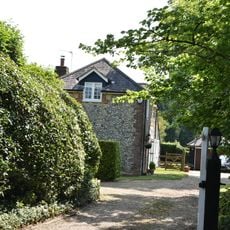
Lilac House Pondfield House
2.3 km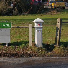
Coal Taxpost At Junction With Warren Road
1.5 km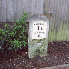
Milestone Adjacent To Electricity Sub Station
1.2 km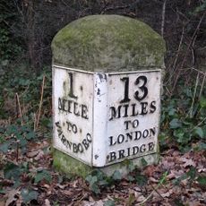
Milestone At Tq 4286 6514
2.6 km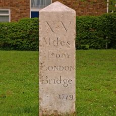
Milestone At Corner Of Dalton Close And Tubbenden Lane
2.4 km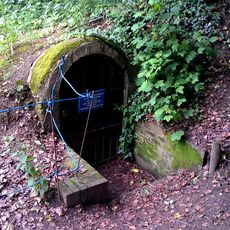
High Elms ice house 130m south of Flint Lodge
237 m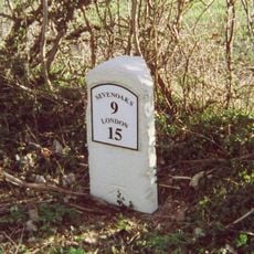
Milestone At Tq 4671 6228
1.8 km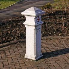
Coal Taxpost At Junction With Farnborough Hill
1.2 km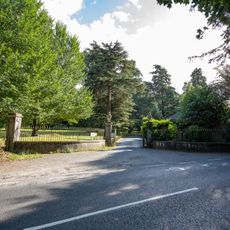
4 Gate Piers And Wrought Iron Railings
389 m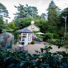
Old Lodge
350 m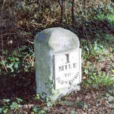
Milestone, Farnborough Common, Locks Bottom, 130m W of Fantail jct
2.6 kmHeeft u deze plek bezocht? Tik op de sterren om een beoordeling te geven en uw ervaring of foto's te delen met de community! Probeer het nu! U kunt het op elk moment annuleren.
Ontdek verborgen schatten op elk avontuur!
Van karakteristieke kleine cafeetjes tot geheime uitzichtpunten – ontvlucht de drukte en vind plekken die echt bij jou passen. Onze app maakt het makkelijk: spraakzoekopdrachten, slimme filters, geoptimaliseerde routes en authentieke tips van reizigers wereldwijd. Download nu en beleef het avontuur op je smartphone!

Een nieuwe benadering van toeristische ontdekking❞
— Le Figaro
Alle plekken die de moeite waard zijn om te ontdekken❞
— France Info
Een uitstapje op maat in slechts een paar klikken❞
— 20 Minutes