
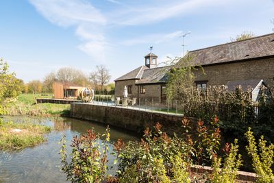
Barn And Coach House To East Of Old Wolverton Mill, barn in Wolverton and Greenleys, Milton Keynes, Buckinghamshire, UK
Locatie: Wolverton and Greenleys
GPS-coördinaten: 52.06291,-0.84175
Laatste update: 4 maart 2025 om 19:42
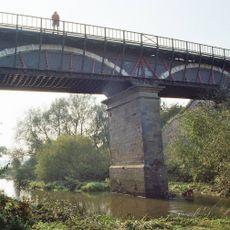
Cosgrove aqueduct
856 m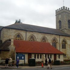
Parish Church of St Mary and St Giles
1 km
Holy Trinity Church
837 m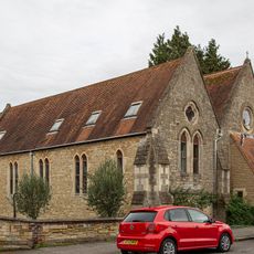
Church of St Mary
1 km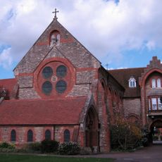
Former St Anthonys Franciscan Preparatory School
1.1 km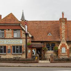
The Plough Inn
989 m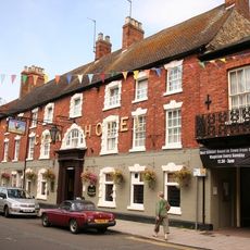
The Cock Hotel
1 km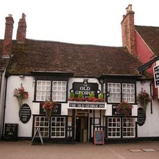
The Old George
1 km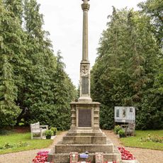
Stony Stratford War Memorial Cross
1.2 km
The Bull Hotel
1 km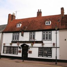
The Crown Public House
1.2 km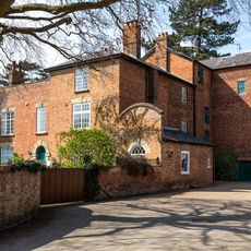
Old Wolverton Mill
23 m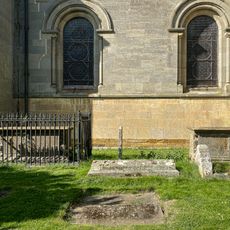
Two Chest Tombs To The South Of The Nave Of The Church Of The Holy Trinity
832 m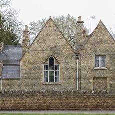
Former School And School House
948 m
Working Men's Social Club
1 km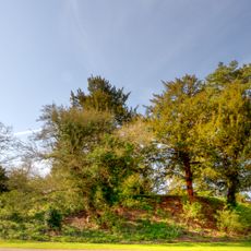
Wolverton Castle
937 m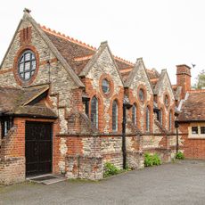
St Mary's Parish Hall
998 m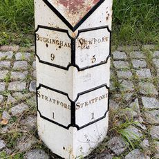
Milepost, Stratford Road; Wolverton Mill, by Wolverton Park, opp. Mill End, 100m W of double mini-roundabout
776 m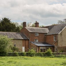
Wolverton Park
707 m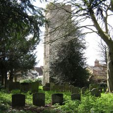
Remains of the church and churchyard of St Mary Magdalen
1 km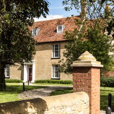
Manor Farm House
1.4 km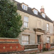
Stratford House
1.2 km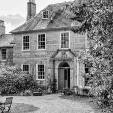
Longueville Court
852 m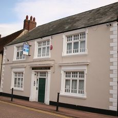
8, Market Square
1.1 km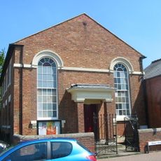
Methodist Church And Church Hall
1.2 km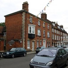
Tower House
1.1 km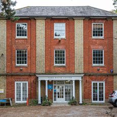
York House (Youth Club)
998 m
Motte and bailey castle, deserted village and monastic grange at Old Wolverton
984 mHeeft u deze plek bezocht? Tik op de sterren om een beoordeling te geven en uw ervaring of foto's te delen met de community! Probeer het nu! U kunt het op elk moment annuleren.
Ontdek verborgen schatten op elk avontuur!
Van karakteristieke kleine cafeetjes tot geheime uitzichtpunten – ontvlucht de drukte en vind plekken die echt bij jou passen. Onze app maakt het makkelijk: spraakzoekopdrachten, slimme filters, geoptimaliseerde routes en authentieke tips van reizigers wereldwijd. Download nu en beleef het avontuur op je smartphone!

Een nieuwe benadering van toeristische ontdekking❞
— Le Figaro
Alle plekken die de moeite waard zijn om te ontdekken❞
— France Info
Een uitstapje op maat in slechts een paar klikken❞
— 20 Minutes