
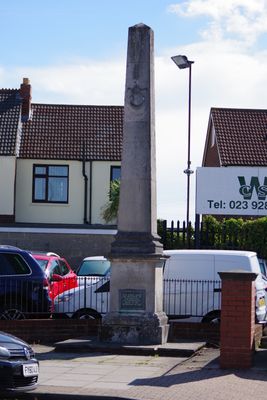
Town Boundary Stone At Junction Of London Road And Torrington Road
Town Boundary Stone At Junction Of London Road And Torrington Road, architectural structure in City of Portsmouth, Hampshire, UK
Locatie: City of Portsmouth
GPS-coördinaten: 50.82465,-1.07322
Laatste update: 3 maart 2025 om 03:25

HMS Excellent
1.8 km
Hilsea Lines
1.2 km
HMS King Alfred
2.1 km
Charles Dickens Birthplace Museum
2.2 km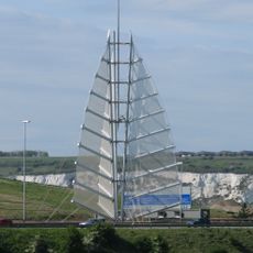
Sails of the South
1.3 km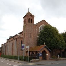
Church of St Alban
1.5 km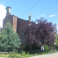
Church of St Philip
2 km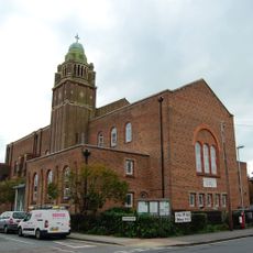
Church of St Cuthbert
2.2 km
Air Balloon Public House
1.6 km
Church of St John the Baptist
1.4 km
Cosham Park House
2.1 km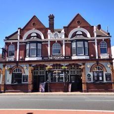
Fountain Public House And Attached Boundary Wall And Gate Piers
817 m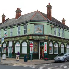
Tangier Public House
2 km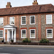
511, London Road
320 m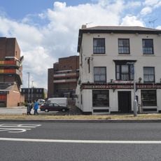
Market House Tavern
2 km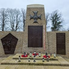
Battleship Marianne Memorial, Portsmouth
2.2 km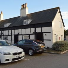
Green Farmhouse
759 m
73 And 75, Kingston Crescent
1.4 km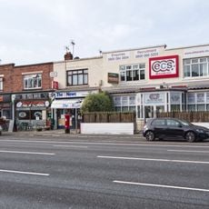
Milestone: Hilsea Market Approximately 200 Metres South Of Military Road
994 m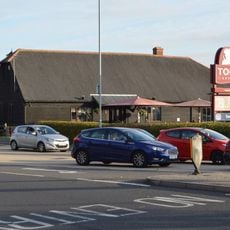
Former Barn To North Of Green Farmhouse
788 m
Round Tower, Circular Road
2.3 km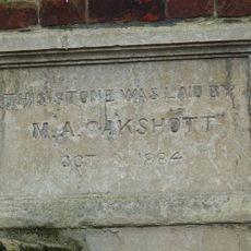
Mile End Chapel Studio And Attached Wall And Piers
2.2 km
65-71, Kingston Crescent
1.4 km
61 And 63, Kingston Crescent
1.4 km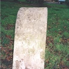
Milestone Adjacent To The Market Tavern
2 km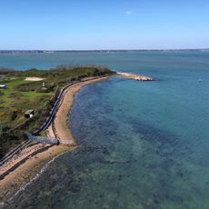
Uitzichtpunt
1.6 km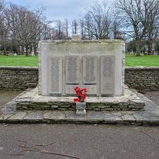
Portsmouth Civilans WWII Stone of Remembrance
2.2 km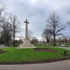
Kingston Cemetery Cross of Sacrifice, Portsmouth
1.9 kmHeeft u deze plek bezocht? Tik op de sterren om een beoordeling te geven en uw ervaring of foto's te delen met de community! Probeer het nu! U kunt het op elk moment annuleren.
Ontdek verborgen schatten op elk avontuur!
Van karakteristieke kleine cafeetjes tot geheime uitzichtpunten – ontvlucht de drukte en vind plekken die echt bij jou passen. Onze app maakt het makkelijk: spraakzoekopdrachten, slimme filters, geoptimaliseerde routes en authentieke tips van reizigers wereldwijd. Download nu en beleef het avontuur op je smartphone!

Een nieuwe benadering van toeristische ontdekking❞
— Le Figaro
Alle plekken die de moeite waard zijn om te ontdekken❞
— France Info
Een uitstapje op maat in slechts een paar klikken❞
— 20 Minutes