
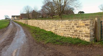
Farm Buildings To South Of Markenfield Hall
Farm Buildings To South Of Markenfield Hall, agricultural structure in Markingfield Hall, Harrogate, North Yorkshire, UK
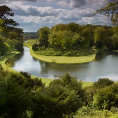
Studley Royal Park
2.2 km
Fountains Hall
2.5 km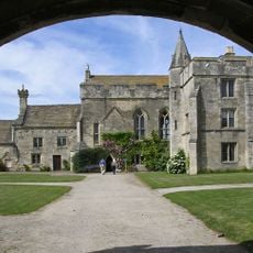
Markenfield Hall
48 m
Church of Saint Michael
2.4 km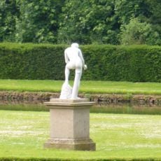
Statue on West Side of North Crescent Pond
2.2 km
Studley Royal Park en Fountains Abbey-ruïnes
2.3 km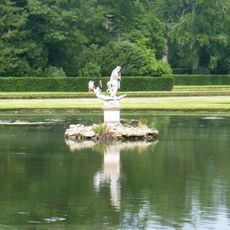
Statue of Neptune and Pedestal in Centre of Moon Pond
2.1 km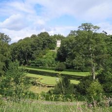
The Octagon Tower
2.2 km
Weir and reservoir below Tent Hill
1.8 km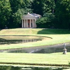
Temple Of Piety On East Side Of Moon Pond
2 km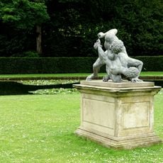
The Wrestlers
2.2 km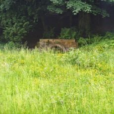
Robin Hood's Well
2.1 km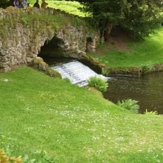
Rustic Bridge At South End Of The Canal, With Culvert And Arch To Reservoir
1.9 km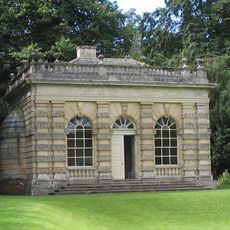
Banqueting House Approximately 100 Metres To West Of The Canal
2.3 km
Tunnel Approximately 20 Metres West Of The Octagon, With Flanking Wall Attached To South
2.2 km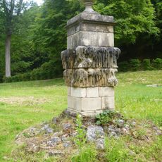
Quebec Monument
2 km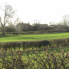
Rigg House Farm
1.9 km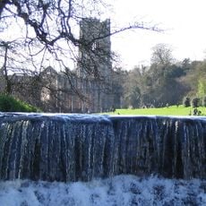
Weir At North End Of The Canal, With Piers, Fishing Pavilions And Balustrade
2.3 km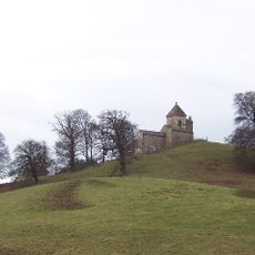
How Hill Tower
1.9 km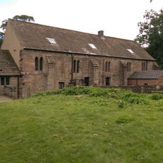
Abbey Mill
2.4 km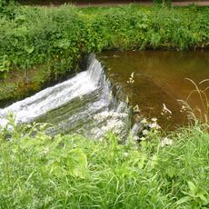
Weir On River Skell Approximately 120 Metres West Of The Reservoir
1.9 km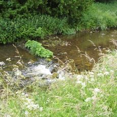
Weir On River Skell Approximately 10 Metres East Of The Infirmary At Fountains Abbey
2.1 km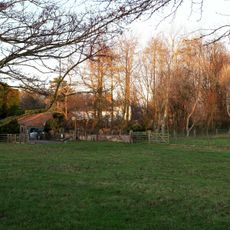
Thorpe Lodge
2.6 km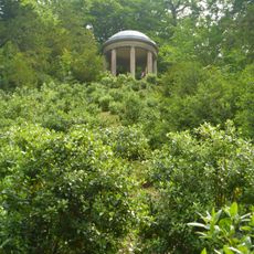
Temple Of Fame On Cliff Top At South Side Of Moon Pond
1.9 km
The Canal Gates And Flanking Walls On West Side Of The Lake
2.3 km
Stewards House, Now National Trust Restaurant And Shop
2.3 km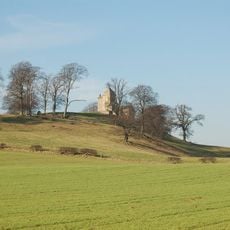
Site of medieval chapel and section of Fountains Park park pale, 170m south west of How Hill Farm
2 km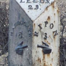
Milepost Near Junction With Moor Lane
1.6 kmHeeft u deze plek bezocht? Tik op de sterren om een beoordeling te geven en uw ervaring of foto's te delen met de community! Probeer het nu! U kunt het op elk moment annuleren.
Ontdek verborgen schatten op elk avontuur!
Van karakteristieke kleine cafeetjes tot geheime uitzichtpunten – ontvlucht de drukte en vind plekken die echt bij jou passen. Onze app maakt het makkelijk: spraakzoekopdrachten, slimme filters, geoptimaliseerde routes en authentieke tips van reizigers wereldwijd. Download nu en beleef het avontuur op je smartphone!

Een nieuwe benadering van toeristische ontdekking❞
— Le Figaro
Alle plekken die de moeite waard zijn om te ontdekken❞
— France Info
Een uitstapje op maat in slechts een paar klikken❞
— 20 Minutes