
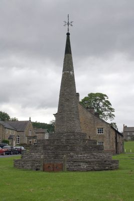
Stocks, stocks in Burton-cum-Walden, Richmondshire, North Yorkshire, UK
Locatie: Burton-cum-Walden
GPS-coördinaten: 54.27548,-1.97507
Laatste update: 10 maart 2025 om 13:55
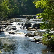
Aysgarth Falls
2.1 km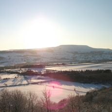
Penhill
2.6 km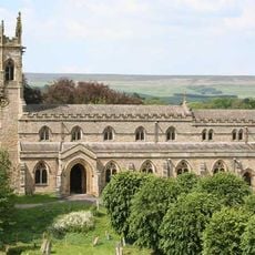
Church of Saint Andrew
2 km
Castle Dykes Henge
3.5 km
Penhill Preceptory
2.8 km
Swinithwaite Hall
3.8 km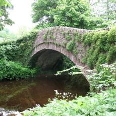
Burton Bridge
466 m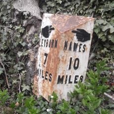
Milestone, Heads Bank, Aysgarth
1.8 km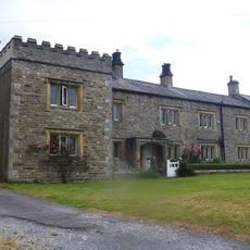
Galloway House
115 m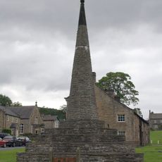
Obelisk
5 m
Yore Mill
2 km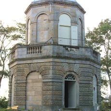
Belvedere
2.8 km
Flanders Hall
559 m
The Coach House And Stable Cottage To The North East Of The Grange
396 m
Wensleydale Cottage And Attached Outbuilding
99 m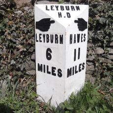
Mile Post On Temple Bank Approximately Three Hundred Metres West Of Temple Farm
2.7 km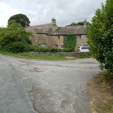
Old Hall
3.7 km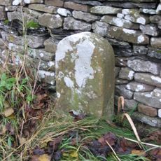
Boundary Stone
2.1 km
Stables At Flanders Hall
557 m
Old Hall Stables
146 m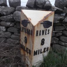
Mile Stone Approximately 200 Metres West Of Parish Boundary
3.6 km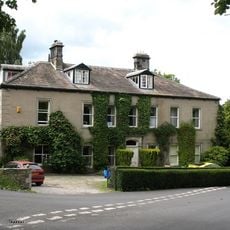
The Grange
336 m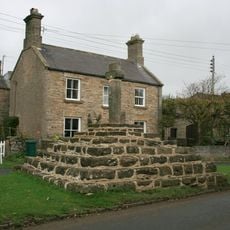
Carperby market cross
3.3 km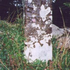
Boundary Stone Approximately 6 Metres North Of Tomgill Bridge
1.5 km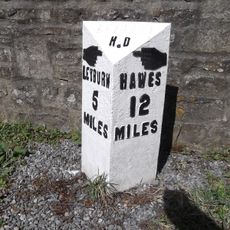
Milestone, 20m SE of Swinithwaite Hall
3.8 km
Milestone, Thoralby, Humphrey Hill
2 km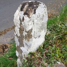
Guidestone, Aysgarth to Thoralby road
1.5 km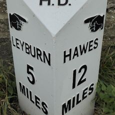
Replacement Milestone, 20m SE of Swinithwaite Hall
3.8 kmHeeft u deze plek bezocht? Tik op de sterren om een beoordeling te geven en uw ervaring of foto's te delen met de community! Probeer het nu! U kunt het op elk moment annuleren.
Ontdek verborgen schatten op elk avontuur!
Van karakteristieke kleine cafeetjes tot geheime uitzichtpunten – ontvlucht de drukte en vind plekken die echt bij jou passen. Onze app maakt het makkelijk: spraakzoekopdrachten, slimme filters, geoptimaliseerde routes en authentieke tips van reizigers wereldwijd. Download nu en beleef het avontuur op je smartphone!

Een nieuwe benadering van toeristische ontdekking❞
— Le Figaro
Alle plekken die de moeite waard zijn om te ontdekken❞
— France Info
Een uitstapje op maat in slechts een paar klikken❞
— 20 Minutes