
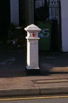
Coal Taxpost Outside Baptist Church, kerkgebouw in Verenigd Koninkrijk
Locatie: London Borough of Bromley
GPS-coördinaten: 51.35196,0.08937
Laatste update: 8 maart 2025 om 17:57
High Elms Country Park
1 km
Crofton Roman Villa
2.3 km
Church of St Martin of Tours
2.4 km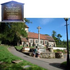
Church of St Giles the Abbot
1.4 km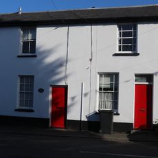
4-6, Church Road
2.7 km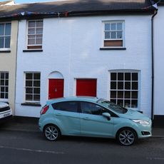
1-3, Church Road
2.7 km
Captain Eric Lubbock Memorial
923 m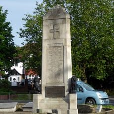
Orpington War Memorial
2.4 km
Ice Well
1 km
St Nicholas
1.4 km
Eton Fives Court
1 km
Goddington House
2.5 km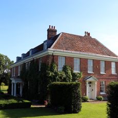
Court Lodge
2.4 km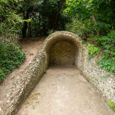
Grotto At High Elms Country Park
1 km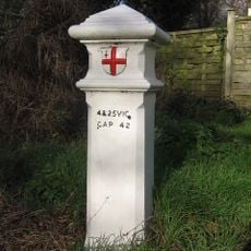
Coal Taxpost Outside No 49
1.9 km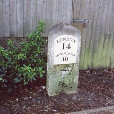
Milestone Adjacent To Electricity Sub Station
1.7 km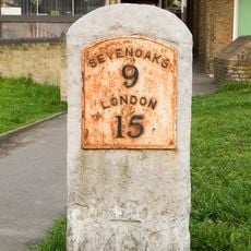
Milestone At Junction Of Sevenoaks Road With Farnborough Hill
361 m
Chelsfield Hall Farmhouse
238 m
Stone House
2.7 km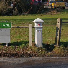
Coal Taxpost At Junction With Warren Road
871 m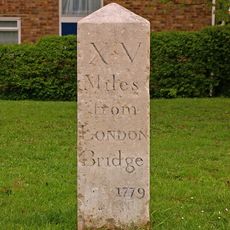
Milestone At Corner Of Dalton Close And Tubbenden Lane
2 km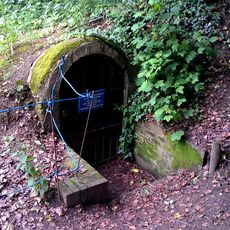
High Elms ice house 130m south of Flint Lodge
999 m
4 Gate Piers And Wrought Iron Railings
951 m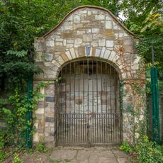
Stone Garden Shelter At High Elms Country Park
1 km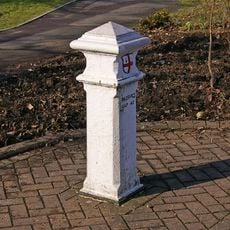
Coal Taxpost At Junction With Farnborough Hill
392 m
Milestone At Tq 4671 6228
1.1 km
Old Lodge
1.1 km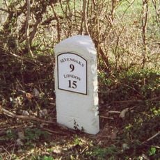
Milestone, Sevenoaks Road, E of Norsted Lane, Pratt's Bottom
1.1 kmHeeft u deze plek bezocht? Tik op de sterren om een beoordeling te geven en uw ervaring of foto's te delen met de community! Probeer het nu! U kunt het op elk moment annuleren.
Ontdek verborgen schatten op elk avontuur!
Van karakteristieke kleine cafeetjes tot geheime uitzichtpunten – ontvlucht de drukte en vind plekken die echt bij jou passen. Onze app maakt het makkelijk: spraakzoekopdrachten, slimme filters, geoptimaliseerde routes en authentieke tips van reizigers wereldwijd. Download nu en beleef het avontuur op je smartphone!

Een nieuwe benadering van toeristische ontdekking❞
— Le Figaro
Alle plekken die de moeite waard zijn om te ontdekken❞
— France Info
Een uitstapje op maat in slechts een paar klikken❞
— 20 Minutes