Edge Hotel, hotel in Lynesack and Softley, County Durham, UK
Locatie: Lynesack and Softley
GPS-coördinaten: 54.63410,-1.88449
Laatste update: 14 november 2025 om 17:57
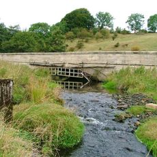
Swin Bridge
4.3 km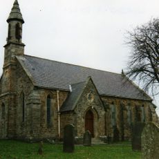
Church of St John Evangelist
1.6 km
Podge Hole Bridge And Wall With Tail Race
3 km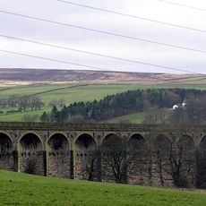
Langley Viaduct
4.2 km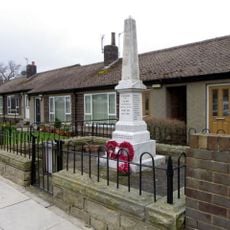
Butterknowle War Memorial
3.1 km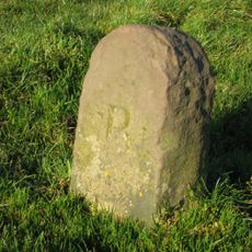
Boundary Stone Circa 400 Metres West Of Windy Nook
583 m
Bridge Over Grewburn Beck
2.7 km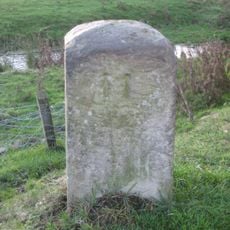
Railway Indicator Stone C.3 1/2 Metres East Of Skew Bridge
4.4 km
The Grove Bridge Over Spurlswood Beck
3.4 km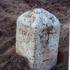
Milestone Circa 300 Metres East Of Junction With Billy Lane
3.9 km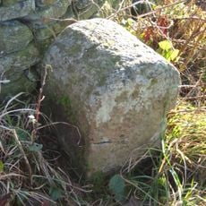
Boundary Stone
249 m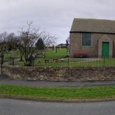
Woodland War Memorial
772 m
High Bank Farmhouse
3.2 km
Penny Hill camp
3.1 km
Boundary Stone On South Side Of Junction With Crane Row Lane
2.4 km
Hollin Hill Farmhouse
3.7 km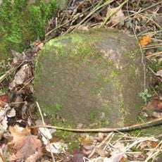
Parish Boundary Stone C.100 Metres East Of Lead Mill House, On South Side Of Road
1.9 km
Barn And Attached Loosebox To West Of Podgehole Mill
3 km
Carved rock, cist and cairnfield 580m west of Hindon Edge
3.6 km
Podge Hole Mill House And Storage Building
3 km
Lead Mill House North Of Steel Gill
1.8 km
Smelt Mill Chimney
1.9 km
Smith Tomb Of Circa 100 Metres West Of Church Of St John
1.6 km
Frog Wood Bog
3.9 km
Kunstwerk, sculptuur
4.4 km
Uitzichtpunt
2.5 km
Uitzichtpunt
4 km
Uitzichtpunt
3.8 kmBeoordelingen
Heeft u deze plek bezocht? Tik op de sterren om een beoordeling te geven en uw ervaring of foto's te delen met de community! Probeer het nu! U kunt het op elk moment annuleren.
Ontdek verborgen schatten op elk avontuur!
Van karakteristieke kleine cafeetjes tot geheime uitzichtpunten – ontvlucht de drukte en vind plekken die echt bij jou passen. Onze app maakt het makkelijk: spraakzoekopdrachten, slimme filters, geoptimaliseerde routes en authentieke tips van reizigers wereldwijd. Download nu en beleef het avontuur op je smartphone!

Een nieuwe benadering van toeristische ontdekking❞
— Le Figaro
Alle plekken die de moeite waard zijn om te ontdekken❞
— France Info
Een uitstapje op maat in slechts een paar klikken❞
— 20 Minutes