
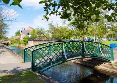
Iron Footbridge Spanning River Lean, footbridge in City of Nottingham, Nottinghamshire, UK
Locatie: City of Nottingham
GPS-coördinaten: 52.99916,-1.19666
Laatste update: 7 maart 2025 om 12:18
Nuthall Temple
2.5 km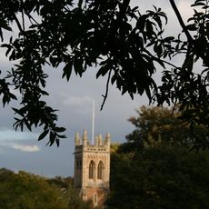
St. Leodegarius Church, Basford
2.5 km
Church of St. Mary the Virgin and All Souls, Bulwell
196 m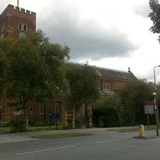
St. Margaret's Church, Aspley
3.3 km
Christ Church, Cinderhill
1.7 km
Church of St. John the Divine, Bulwell
733 m
St Patrick's Church, Nuthall
2.5 km
St. Aidan's Church, Basford
1.8 km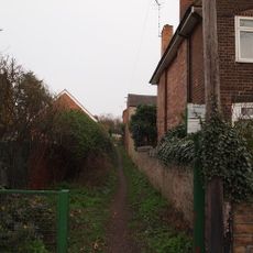
Bagthorpe Gardens
3.6 km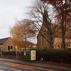
Church of St. John the Evangelist, Hucknall
3.4 km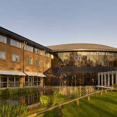
DoubleTree by Hilton Hotel Nottingham - Gateway
1.5 km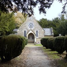
Emmanuel Church
3 km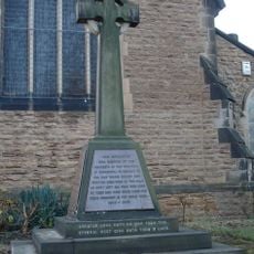
Cinderhill War Memorial at East End of Christ Church
1.7 km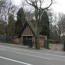
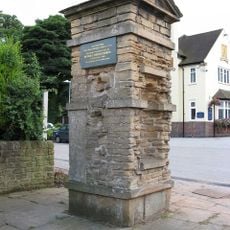
Scout War Memorial Gateway
3 km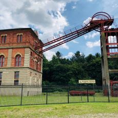
Winding Engine House
3 km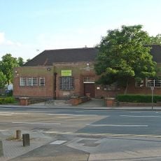
Aspley Library
2.4 km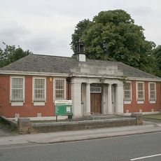
Basford Library
2 km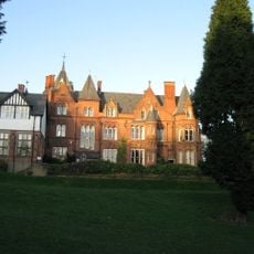
Bestwood Lodge Hotel And Terrace Wall
3.3 km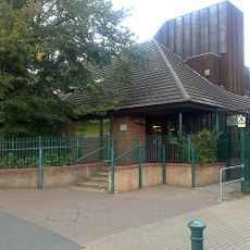
Strelley Road Library
3.1 km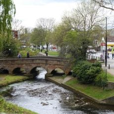
Stone Bridge Spanning River Leen
102 m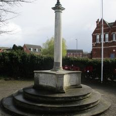
Bestwood War Memorial
2.9 km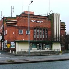
Futurist Cinema
2.6 km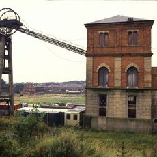
Winding House And Headstocks At Bestwood Colliery
3 km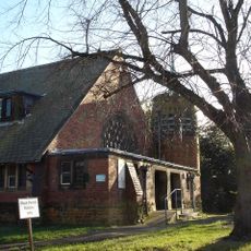
Hospital Church Of St Luke At City Hospital
2.7 km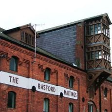
Maltings
2.3 km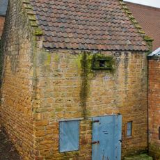
Bulwell Dovecote
283 m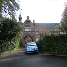
Stable Court At Bestwood Lodge Hotel
3.3 km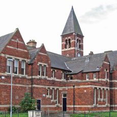
The Clock Tower, formerly the general offices of the Bestwood Coal and Iron Company
2.9 kmHeeft u deze plek bezocht? Tik op de sterren om een beoordeling te geven en uw ervaring of foto's te delen met de community! Probeer het nu! U kunt het op elk moment annuleren.
Ontdek verborgen schatten op elk avontuur!
Van karakteristieke kleine cafeetjes tot geheime uitzichtpunten – ontvlucht de drukte en vind plekken die echt bij jou passen. Onze app maakt het makkelijk: spraakzoekopdrachten, slimme filters, geoptimaliseerde routes en authentieke tips van reizigers wereldwijd. Download nu en beleef het avontuur op je smartphone!

Een nieuwe benadering van toeristische ontdekking❞
— Le Figaro
Alle plekken die de moeite waard zijn om te ontdekken❞
— France Info
Een uitstapje op maat in slechts een paar klikken❞
— 20 Minutes