
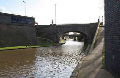
Turnover Bridge On Nottingham Canal, roving bridge in City of Nottingham, Nottinghamshire, UK
Locatie: City of Nottingham
GPS-coördinaten: 52.94819,-1.13995
Laatste update: 7 maart 2025 om 11:59
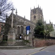
St Mary's Church, Nottingham
397 m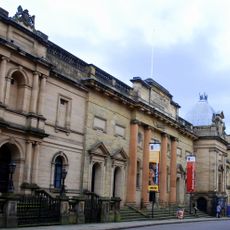
National Justice Museum
411 m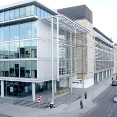
Loxley House, Nottingham
319 m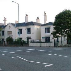
Plumptre Hospital
301 m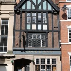
Cock and Hoop
421 m
County War Memorial
398 m
High Pavement Unitarian Chapel
417 m
Great Northern Warehouse At London Road Railway Station
271 m
49 And 51, Stoney Street
396 m
Warehouses On The West And North Sides Of Trivet Square
334 m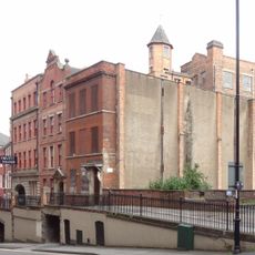
10, Short Hill
344 m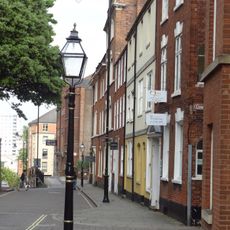
44, High Pavement
355 m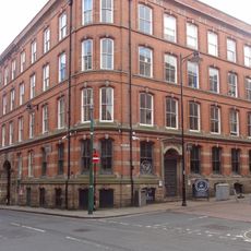
Eastgate House
427 m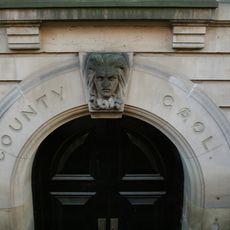
Shire Hall And Adjoining County Gaol
411 m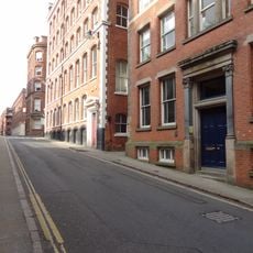
53, Stoney Street
372 m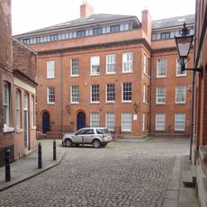
King's Court
325 m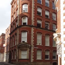
47, Stoney Street
422 m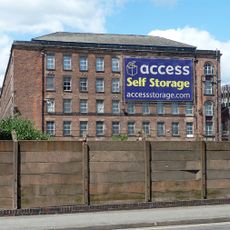
Meadow Mill
363 m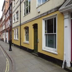
46 And 48, High Pavement
352 m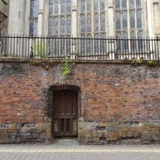
Churchyard Wall, Railings And Gates At Church Of St Mary Churchyard Walls, Railings And Gates To Church Of St Mary
385 m
31, High Pavement
410 m
1, Plumptre Street
417 m
28, High Pavement
379 m
56, High Pavement
344 m
Number 29 And Area Railings
415 m
2, Short Hill
345 m
26, High Pavement
384 m
Retaining Wall, Steps And Railings Bordering Hollow Stone
354 mBeoordelingen
Heeft u deze plek bezocht? Tik op de sterren om een beoordeling te geven en uw ervaring of foto's te delen met de community! Probeer het nu! U kunt het op elk moment annuleren.
Ontdek verborgen schatten op elk avontuur!
Van karakteristieke kleine cafeetjes tot geheime uitzichtpunten – ontvlucht de drukte en vind plekken die echt bij jou passen. Onze app maakt het makkelijk: spraakzoekopdrachten, slimme filters, geoptimaliseerde routes en authentieke tips van reizigers wereldwijd. Download nu en beleef het avontuur op je smartphone!

Een nieuwe benadering van toeristische ontdekking❞
— Le Figaro
Alle plekken die de moeite waard zijn om te ontdekken❞
— France Info
Een uitstapje op maat in slechts een paar klikken❞
— 20 Minutes