
Sundial At Mellor Hall, sundial in Stockport, Greater Manchester, UK
Locatie: Stockport
Onderdeel van: Mellor Hall
GPS-coördinaten: 53.40002,-2.02344
Laatste update: 8 maart 2025 om 04:56

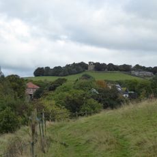
Mellor hill fort
455 m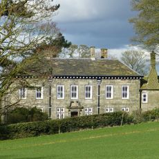
Mellor Hall
112 m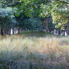
Brown Low
1.7 km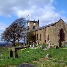
St. Thomas' Church, Mellor
493 m
Shaw Cairn
2 km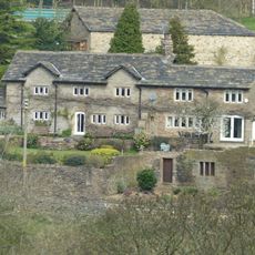
Pear Tree Farmhouse
742 m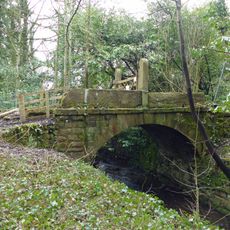
Bridge Over Mill Stream Immediately East Of Bottoms Bridge
2.1 km
Marple Bridge
2 km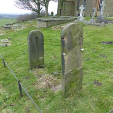
Stocks in graveyard of Church of St Thomas the Apostle
487 m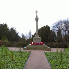
Mellor War Memorial
1.5 km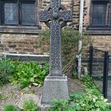
Marple Bridge United Reformed Church War Memorial
1.9 km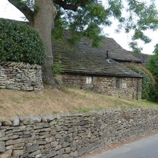
Barn at Pear Tree Farm
767 m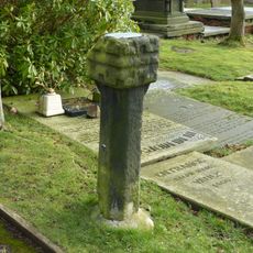
Remains of Saxon cross in graveyard of Church of St Thomas the Apostle
463 m
Cross Base
1.9 km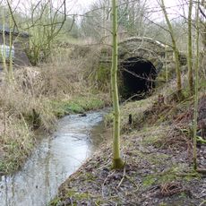
Culvert 10 metres to north of Bottoms Hall
1.9 km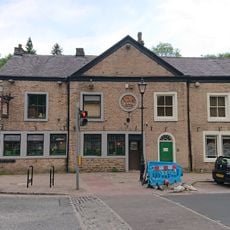
Norfolk Arms And National Westminster Bank, Marple Bridge Branch
2 km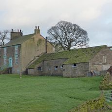
Longshaw Clough Farmhouse and adjoining farm building
1 km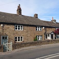
Oldstones
1.2 km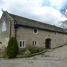
Outbuilding to west of Mellor Hall and north of barn
64 m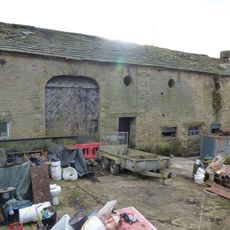
Outbuildings immediately south east of Old Hall Farmhouse
1.9 km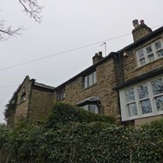
30 and 32, Mill Brow
614 m
Barn at Hollins Farm
2.1 km
Townscliffe Cottage, Townscliffe Farmhouse
1.1 km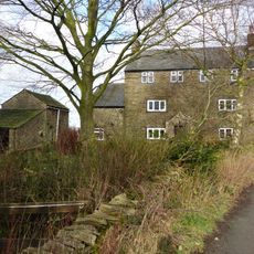
Tarden
1.3 km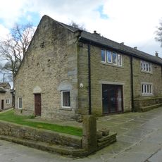
Barn to south west of Mellor Hall
40 m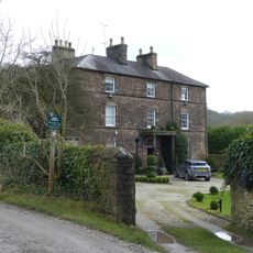
Old Hall/Old Hall Farmhouse
1.9 km
Briargrove Farm
2.1 km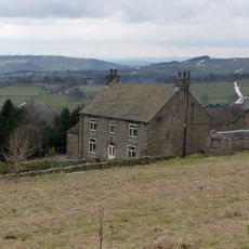
Cobden Farmhouse
1.5 kmHeeft u deze plek bezocht? Tik op de sterren om een beoordeling te geven en uw ervaring of foto's te delen met de community! Probeer het nu! U kunt het op elk moment annuleren.
Ontdek verborgen schatten op elk avontuur!
Van karakteristieke kleine cafeetjes tot geheime uitzichtpunten – ontvlucht de drukte en vind plekken die echt bij jou passen. Onze app maakt het makkelijk: spraakzoekopdrachten, slimme filters, geoptimaliseerde routes en authentieke tips van reizigers wereldwijd. Download nu en beleef het avontuur op je smartphone!

Een nieuwe benadering van toeristische ontdekking❞
— Le Figaro
Alle plekken die de moeite waard zijn om te ontdekken❞
— France Info
Een uitstapje op maat in slechts een paar klikken❞
— 20 Minutes