
1, High Street, building in Sutton, Greater London, UK
Locatie: London Borough of Sutton
GPS-coördinaten: 51.36529,-0.16242
Laatste update: 3 maart 2025 om 03:18
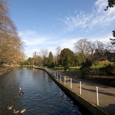
Grove Park
157 m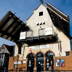
Charles Cryer Theatre
207 m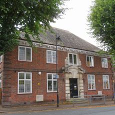
Carshalton Public Library
65 m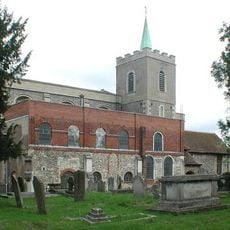
Church of All Saints
59 m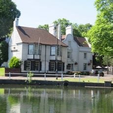
The Greyhound Inn
150 m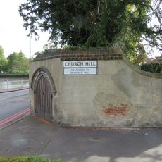
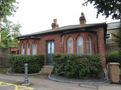
North Churchyard Wall Including Former Fire Engine House At West End
54 m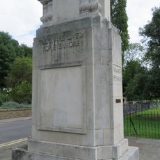
Carshalton War Memorial
135 m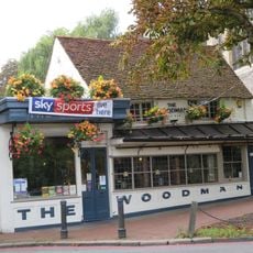
The Woodman
34 m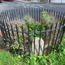
Anne Boleyns Or Bullens Well
82 m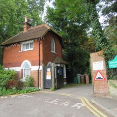
The Gate House
203 m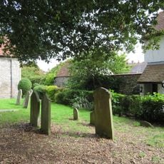
Wall To Rear Of Number 6 Connecting Numbers 4 And 6
60 m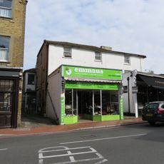
5 And 7, High Street
23 m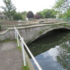
The Leoni Bridge North Retaining Wall Of The Pond To The East Of North Street
83 m
Sewer ventilation column at Cator Road
214 m
5A, Orchard Hill
193 m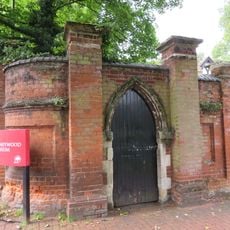
South Boundary Wall To Honeywood Lodge And Gateways
172 m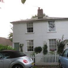
1A And 2A, Orchard Hill
177 m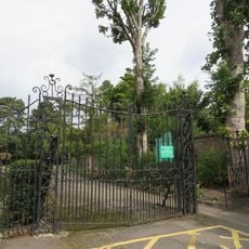
Gates Adjoining Number 1 At South West Entrance To The Grove
9 m
Wall To East Of The Gate House
164 m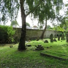
East And West Churchyard Walls
125 m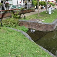
Culvert In Front Of Honeywood Lodge
173 m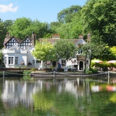
Honeywood Lodge
184 m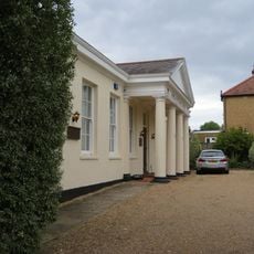
Premises Of South East Electricity Board
100 m
6, The Square
94 m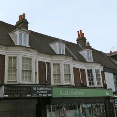
16-20, High Street
55 m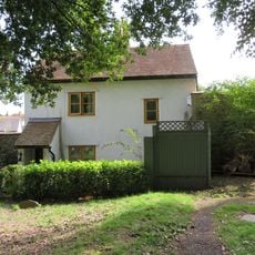
4, High Street
73 m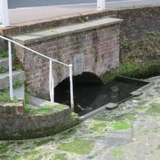
South East Culvert And South And East Retaining Walls Of The Pond To The East Of North Street
59 m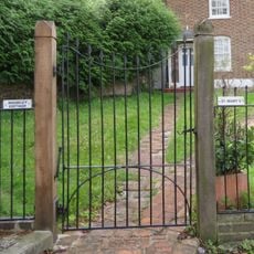
Railings To Madeley Cottage
95 mHeeft u deze plek bezocht? Tik op de sterren om een beoordeling te geven en uw ervaring of foto's te delen met de community! Probeer het nu! U kunt het op elk moment annuleren.
Ontdek verborgen schatten op elk avontuur!
Van karakteristieke kleine cafeetjes tot geheime uitzichtpunten – ontvlucht de drukte en vind plekken die echt bij jou passen. Onze app maakt het makkelijk: spraakzoekopdrachten, slimme filters, geoptimaliseerde routes en authentieke tips van reizigers wereldwijd. Download nu en beleef het avontuur op je smartphone!

Een nieuwe benadering van toeristische ontdekking❞
— Le Figaro
Alle plekken die de moeite waard zijn om te ontdekken❞
— France Info
Een uitstapje op maat in slechts een paar klikken❞
— 20 Minutes