
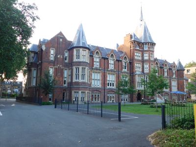
Former French Protestant Hospital, architectural structure in Hackney, Greater London, UK
Locatie: London Borough of Hackney
GPS-coördinaten: 51.53915,-0.04235
Laatste update: 3 maart 2025 om 01:38
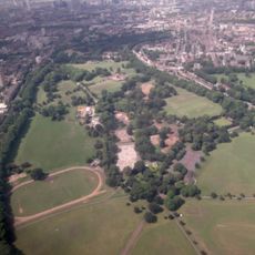
Victoria Park
385 m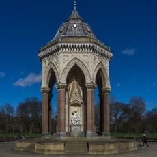
Baroness Burdett Coutts Drinking Fountain
294 m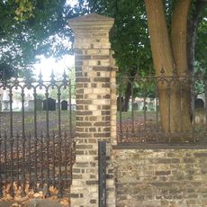
Lauriston Road Cemetery
218 m
Chisenhale Dance Space
711 m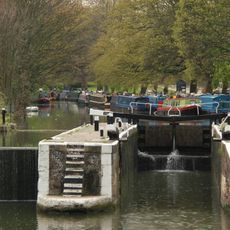
Old Ford Lock
782 m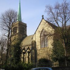
Church of St John of Jerusalem
296 m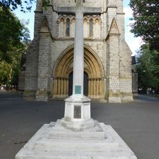
War memorial at St John of Jerusalem Church
310 m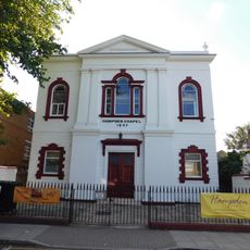
Hampden Chapel
408 m
4-7, Church Crescent E9
403 m
1-3, Church Crescent E9
408 m
Three Colt Bridge, Gunmaker's Lane
668 m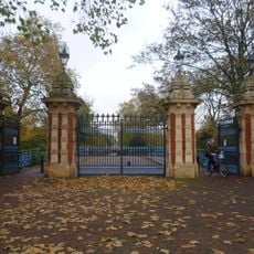
Bonner Gate - the entrance to Victoria Park
787 m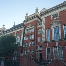
South Hackney Upper School
487 m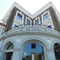
The Crown Hotel
698 m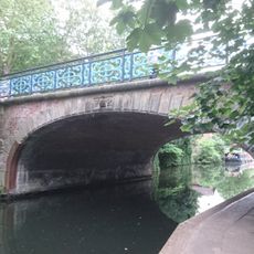
Bonner Hall Bridge, Regent's Canal
763 m
292-302, Old Ford Road E2
705 m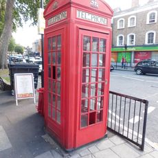
K2 Telephone Kiosk Near Junction With Victoria Park Road
217 m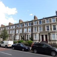
274-290, Old Ford Road E2
723 m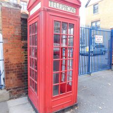
K2 Telephone Kiosk Outside Adult Education Institute
252 m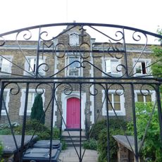
Monger House
377 m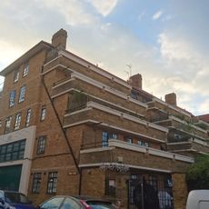
1-35 Lennox House
759 m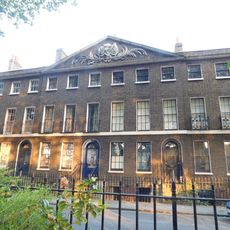
20-54, Cassland Road E9
427 m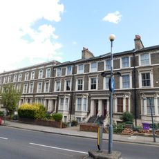
236-256, Old Ford Road E2
778 m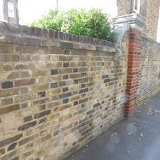
Wall To East Of Number 3, Monger House
366 m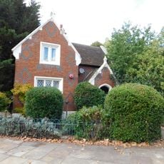
Lodge At Crown Gate West
636 m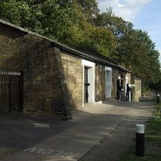
Stable Block To North West Of Lock Cottage
773 m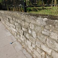
Wall Around Churchyard Of St John Of Jerusalem
322 m
Darnley House
788 mHeeft u deze plek bezocht? Tik op de sterren om een beoordeling te geven en uw ervaring of foto's te delen met de community! Probeer het nu! U kunt het op elk moment annuleren.
Ontdek verborgen schatten op elk avontuur!
Van karakteristieke kleine cafeetjes tot geheime uitzichtpunten – ontvlucht de drukte en vind plekken die echt bij jou passen. Onze app maakt het makkelijk: spraakzoekopdrachten, slimme filters, geoptimaliseerde routes en authentieke tips van reizigers wereldwijd. Download nu en beleef het avontuur op je smartphone!

Een nieuwe benadering van toeristische ontdekking❞
— Le Figaro
Alle plekken die de moeite waard zijn om te ontdekken❞
— France Info
Een uitstapje op maat in slechts een paar klikken❞
— 20 Minutes