Downend and Bromley Heath, civil parish in South Gloucestershire, Gloucestershire, England
Locatie: South Gloucestershire
GPS-coördinaten: 51.49300,-2.50700
Laatste update: 8 maart 2025 om 05:39
St Matthias
1.8 km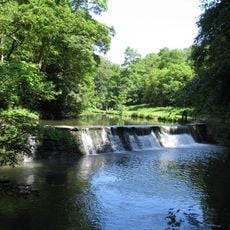
Oldbury Court Estate
1.5 km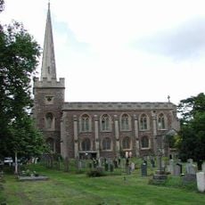
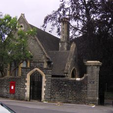
St John the Baptist, Frenchay
977 m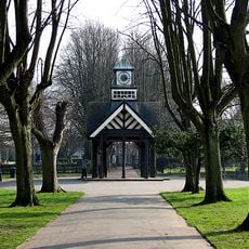
Page Park
1.4 km
White Horse Inn
1.8 km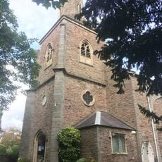
Church of St Mary
2 km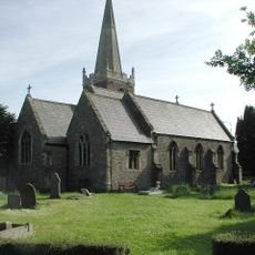
Church of St James
1.9 km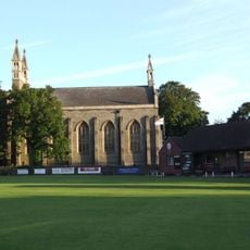
Christ Church
747 m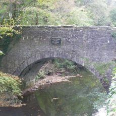
Frenchay Bridge
902 m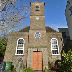
Unitarian Chapel
989 m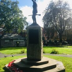
Fishponds War Memorial
2 km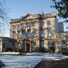
Frenchay Manor
1.2 km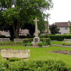
Mangotsfield War Memorial
1.9 km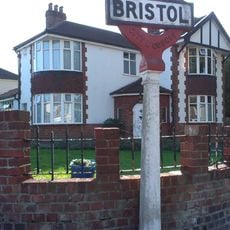
Boundary Marker Located At The Junction Of Thicket Road And High Street
1.4 km
Group Of Three Tombs Approximately 2 Metres North West Of Church Of St Mary
2 km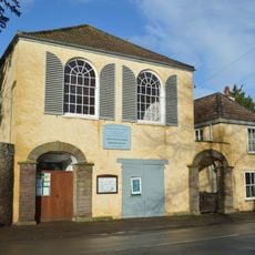
Friends' Meeting House
1 km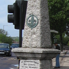
Downend Boy Scouts' War Memorial
564 m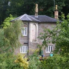
Cleeve Wood Lodge
618 m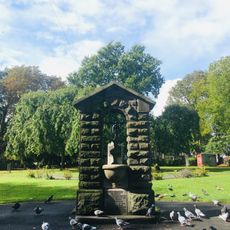
Drinking Fountain In Fishponds Park
2 km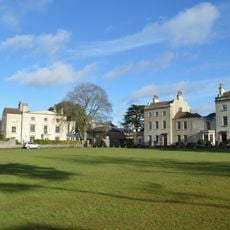
The Old House And Adjoining Coach House And Stables
974 m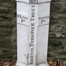
Turnpike Boundary Post On Cleeve Road Bridge
662 m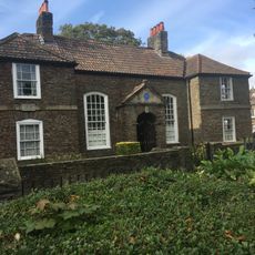
Numbers 11, 13 And 15 And Attached Garden Wall
2 km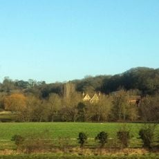
Moorend Farmhouse
1.8 km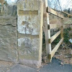
Milestone, Bristol Road, Hambrook
1.9 km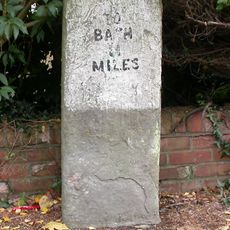
Milestone, Rodway Hill
2 km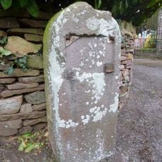
Milestone, Mapstone Close, Hambrook
2.1 km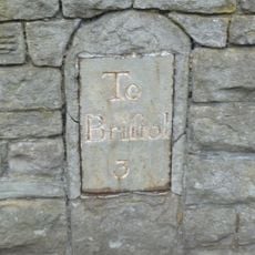
Milestone, Fishponds Road, N side of park wall
2 km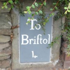
Milestone, Downend Road; opp. jcn Christchurch Lane by No. 72B
746 mHeeft u deze plek bezocht? Tik op de sterren om een beoordeling te geven en uw ervaring of foto's te delen met de community! Probeer het nu! U kunt het op elk moment annuleren.
Ontdek verborgen schatten op elk avontuur!
Van karakteristieke kleine cafeetjes tot geheime uitzichtpunten – ontvlucht de drukte en vind plekken die echt bij jou passen. Onze app maakt het makkelijk: spraakzoekopdrachten, slimme filters, geoptimaliseerde routes en authentieke tips van reizigers wereldwijd. Download nu en beleef het avontuur op je smartphone!

Een nieuwe benadering van toeristische ontdekking❞
— Le Figaro
Alle plekken die de moeite waard zijn om te ontdekken❞
— France Info
Een uitstapje op maat in slechts een paar klikken❞
— 20 Minutes