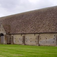
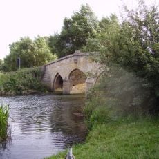
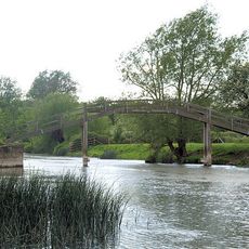
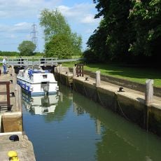
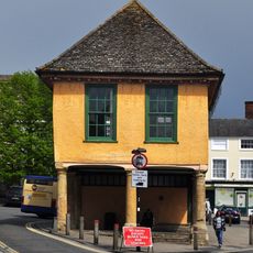
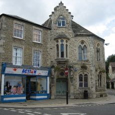
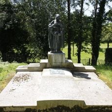
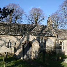
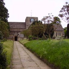
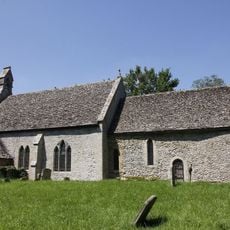
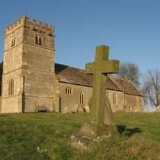
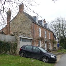
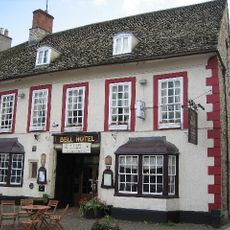
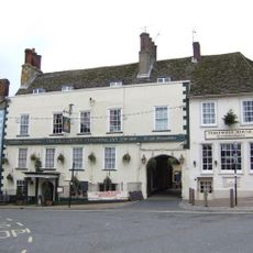
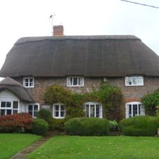
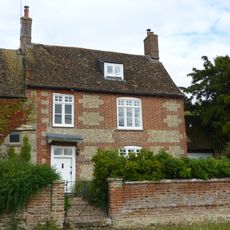
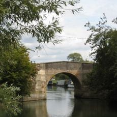
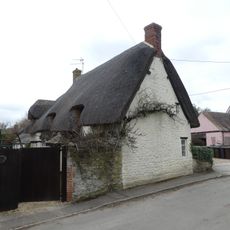
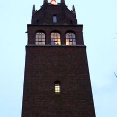
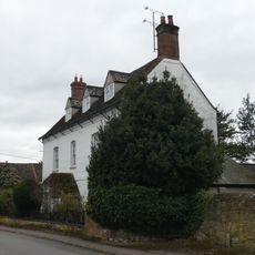
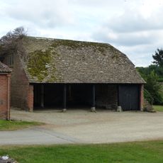
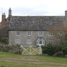
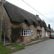
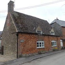
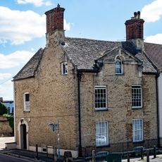
Great Faringdon, civil parish in Vale of White Horse, Oxfordshire, England
Locatie: Vale of White Horse
Grenst aan: Littleworth, Clanfield, Grafton and Radcot, Eaton Hastings, Great Coxwell, Little Coxwell, Shellingford, Stanford in the Vale
Website: https://faringdontowncouncil.gov.uk
GPS-coördinaten: 51.66000,-1.58400
Laatste update: 3 maart 2025 om 21:33
Great Coxwell Barn
2.6 km
Radcot Bridge
3.7 km
Old Man's Bridge
4.6 km
Grafton Lock
3.9 km
Old Town Hall
201 m
Corn Exchange
236 m
Faringdon Tomb Approximately 3 Metres To West Of St Michael's Church
3.8 km
Church of St Mary
2.3 km
Church of All Saints
45 m
Church of St Michael
3.8 km
Church of St Giles
3 km
Chapel House
2.9 km
The Bell Inn
227 m
The Crown Hotel
176 m
Manor Cottage
2.8 km
Danes House
2.8 km
Canal Bridge, Radcot
3.7 km
Pear Tree Cottage
3.1 km
Lord Berner's Folly
875 m
Holloway And Attached Railings
2.7 km
Shelter shed with granary
2.6 km
Front garden wall to Danes House
2.8 km
K6 telephone kiosk to south of Chapel House
2.8 km
Milestone, London Street; 30m S of Stanford Road, by The Folly Inn PH
450 m
Court House Farmhouse
2.7 km
Wayside
2.9 km
Greens' Farmhouse
3.1 km
The Old Vicarage
120 mHeeft u deze plek bezocht? Tik op de sterren om een beoordeling te geven en uw ervaring of foto's te delen met de community! Probeer het nu! U kunt het op elk moment annuleren.
Ontdek verborgen schatten op elk avontuur!
Van karakteristieke kleine cafeetjes tot geheime uitzichtpunten – ontvlucht de drukte en vind plekken die echt bij jou passen. Onze app maakt het makkelijk: spraakzoekopdrachten, slimme filters, geoptimaliseerde routes en authentieke tips van reizigers wereldwijd. Download nu en beleef het avontuur op je smartphone!
Een nieuwe benadering van toeristische ontdekking❞
— Le Figaro
Alle plekken die de moeite waard zijn om te ontdekken❞
— France Info
Een uitstapje op maat in slechts een paar klikken❞
— 20 Minutes